Temperatures dropped overnight, but I stayed toasty in my merino layer and Feathered Friends Nano Swallow bag. The BD Light Saber bivvy bag made for posh accommodations.
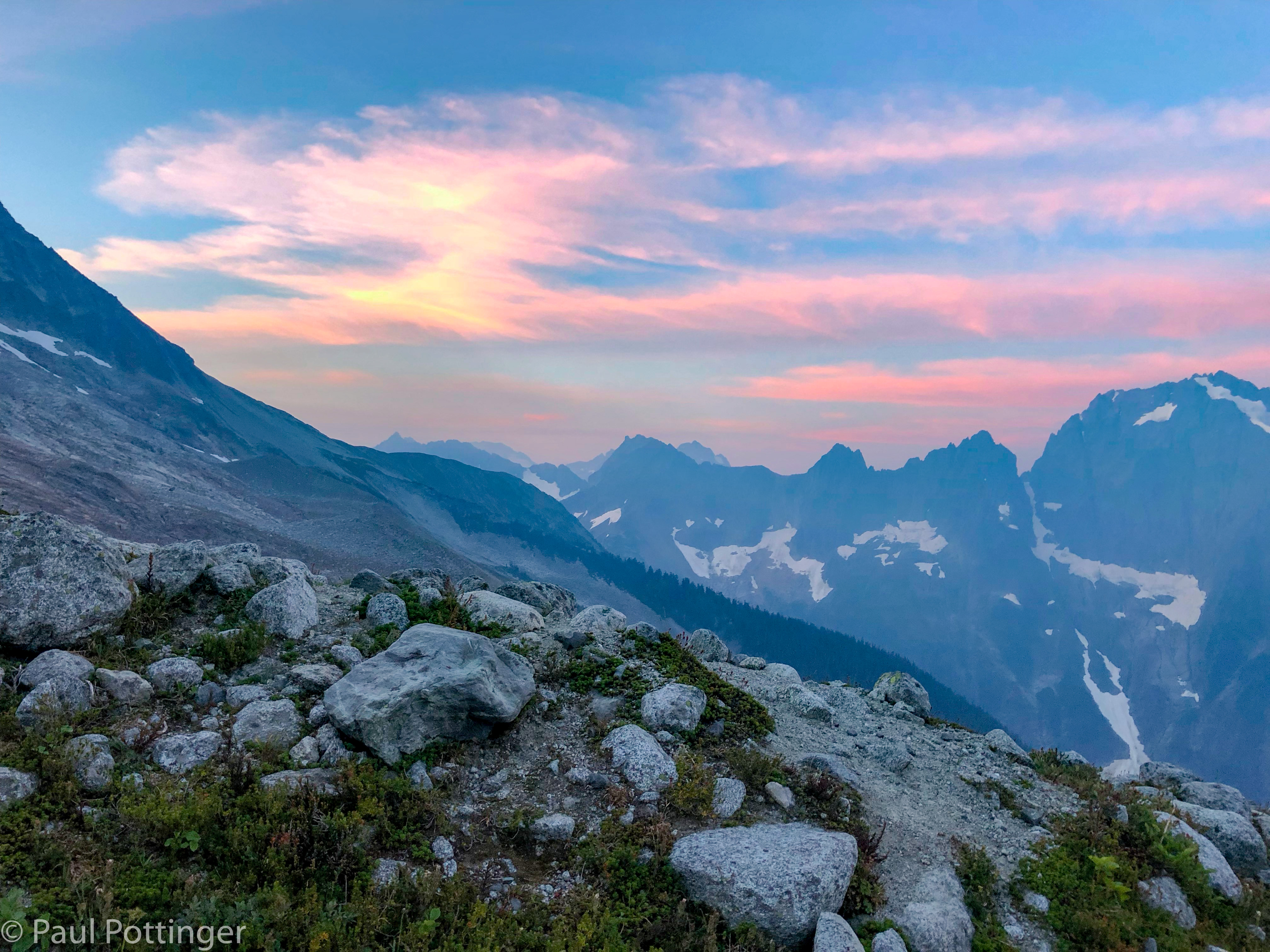
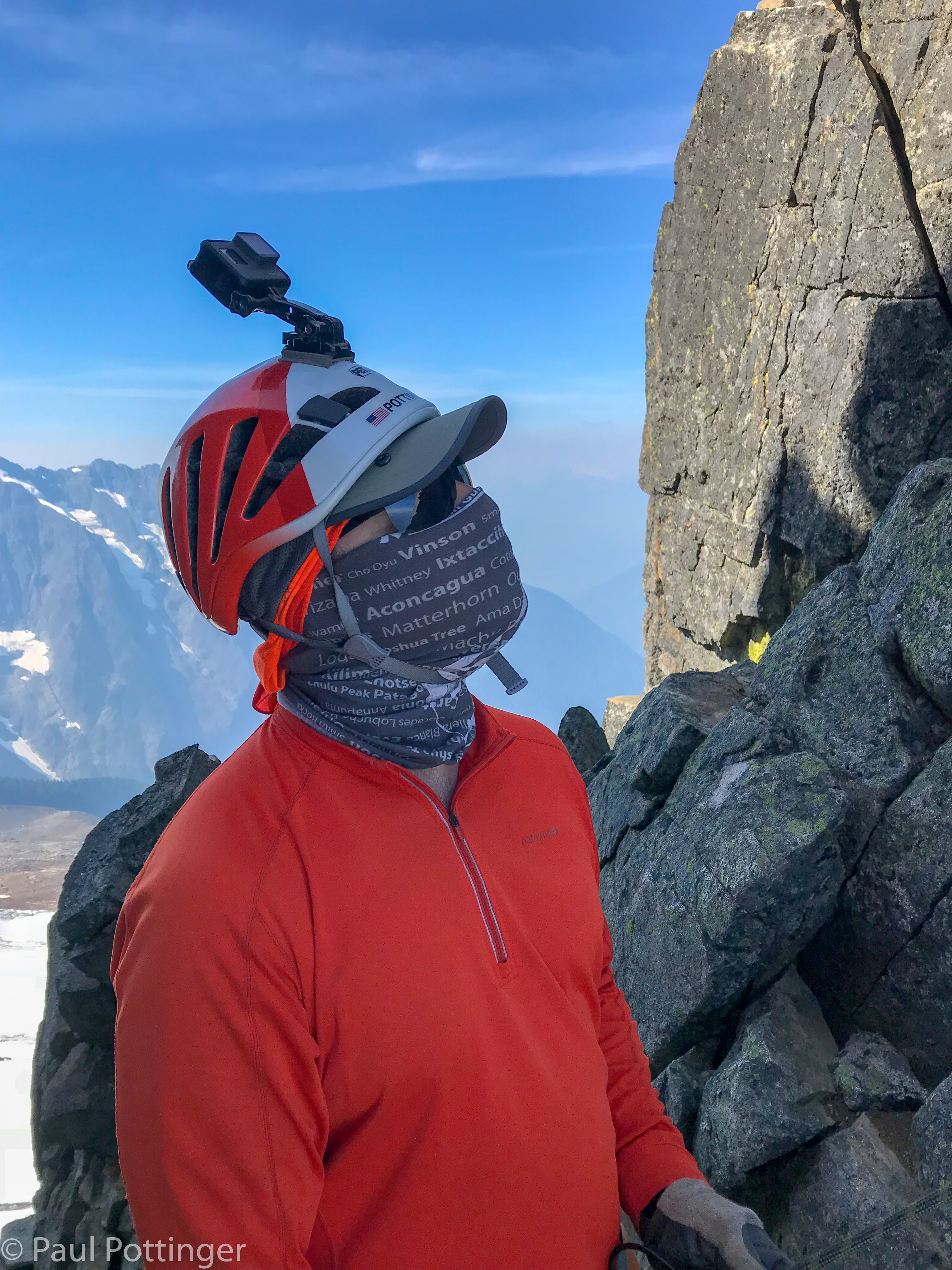
The wind shifted from Westerly to Easterly, perhaps driven by katabatic effect from the Quien Sabe, but it was gentle. And we got hit with smoke, which had somehow been minor the previous day. This summer all of BC seemed to be on fire, and strange wind patterns had suffocated Puget Sound under thick, acrid, choking blankets of wildfire smoke, day after day. Many of my patients were admitted with exacerbations of chronic lung disease that summer. My own asthma is very minor, usually triggered by cold dry air, but I had developed a rattling cough, throat irritation, copious mucus production triggered by the smoke. Now it was back, but only a hint… breathing through my buff filtered most of the smell, which at times was almost pleasant, reminiscent of sitting by a campfire, or taking that first whiff of air when deplaning in Arusha for my annual teaching gig at KCMC. And it made for a beautiful sunrise.

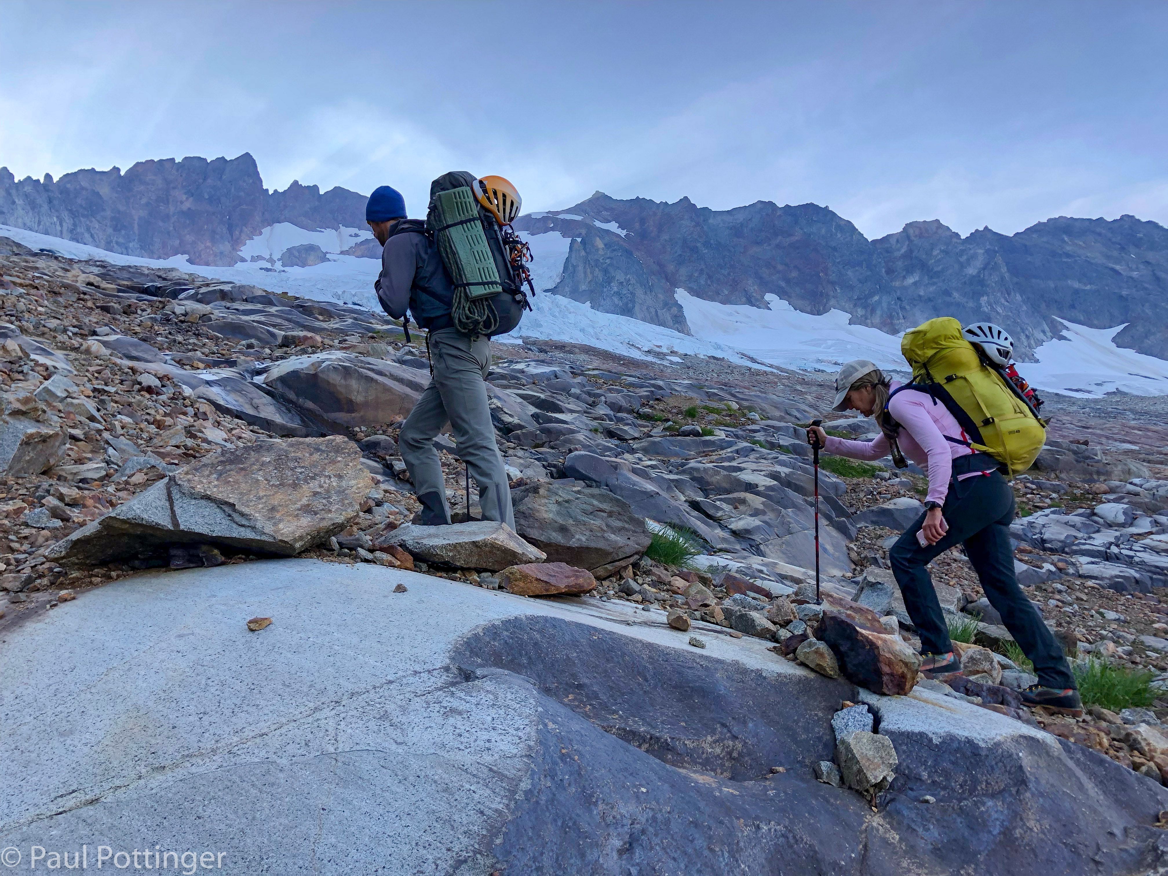
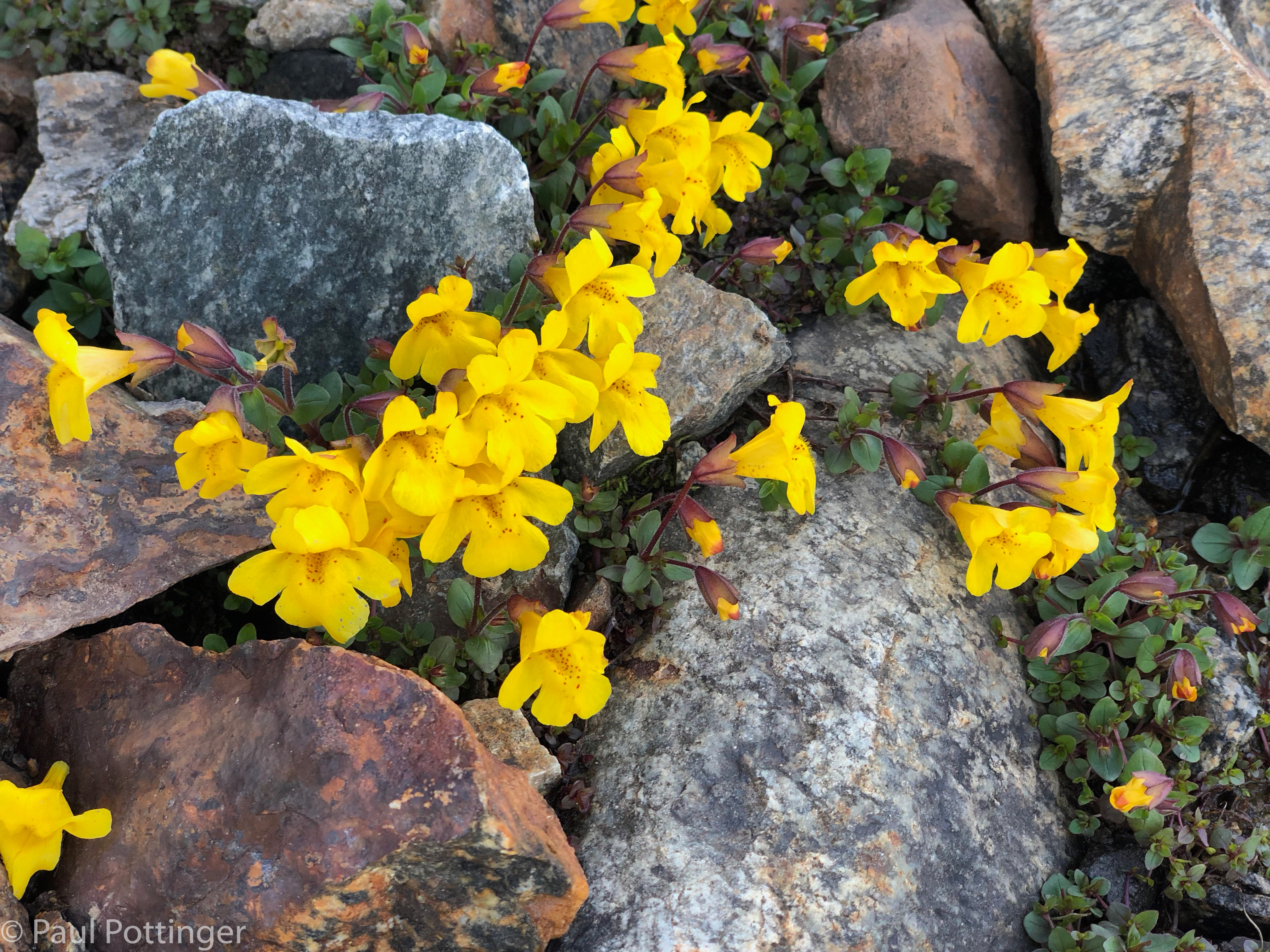
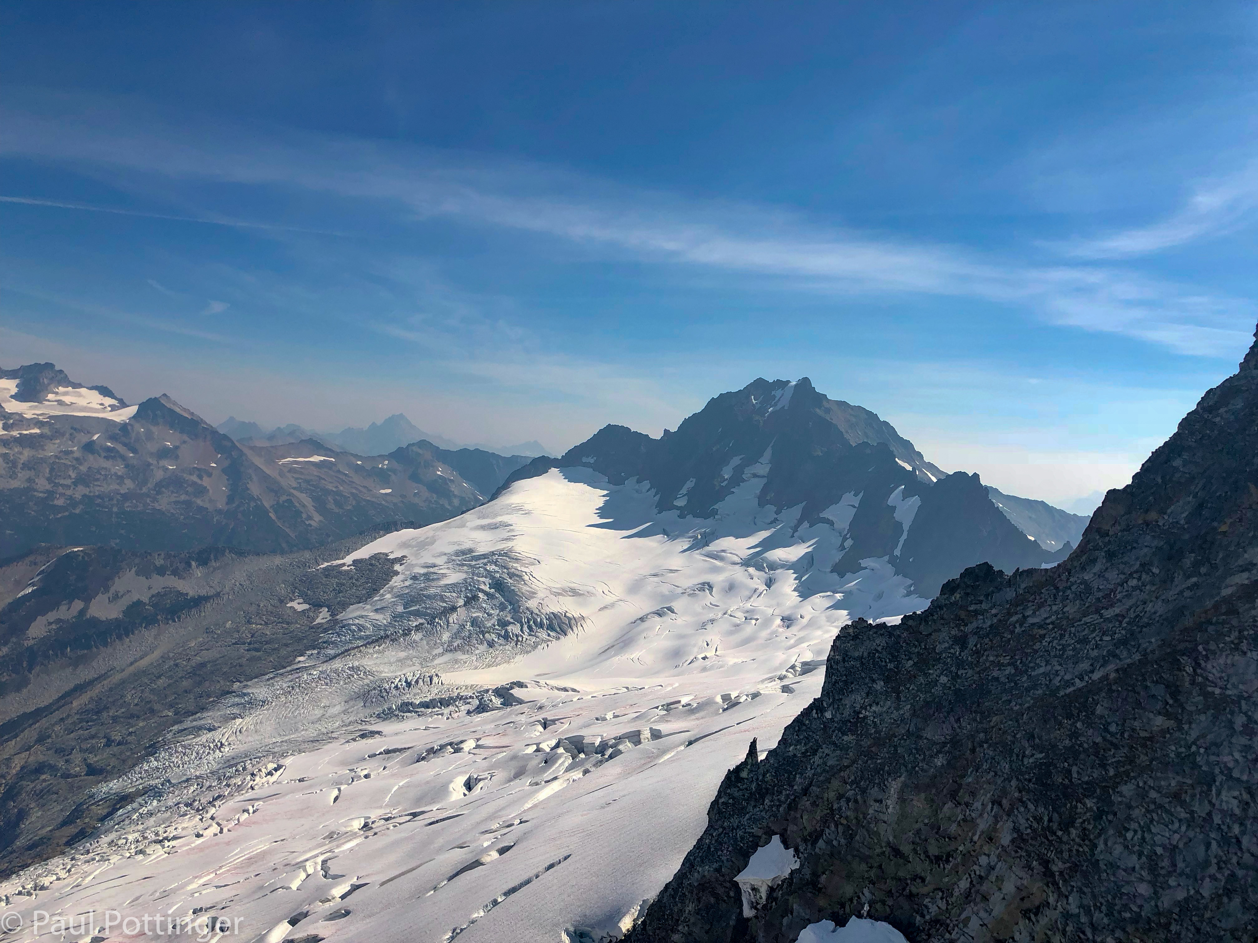
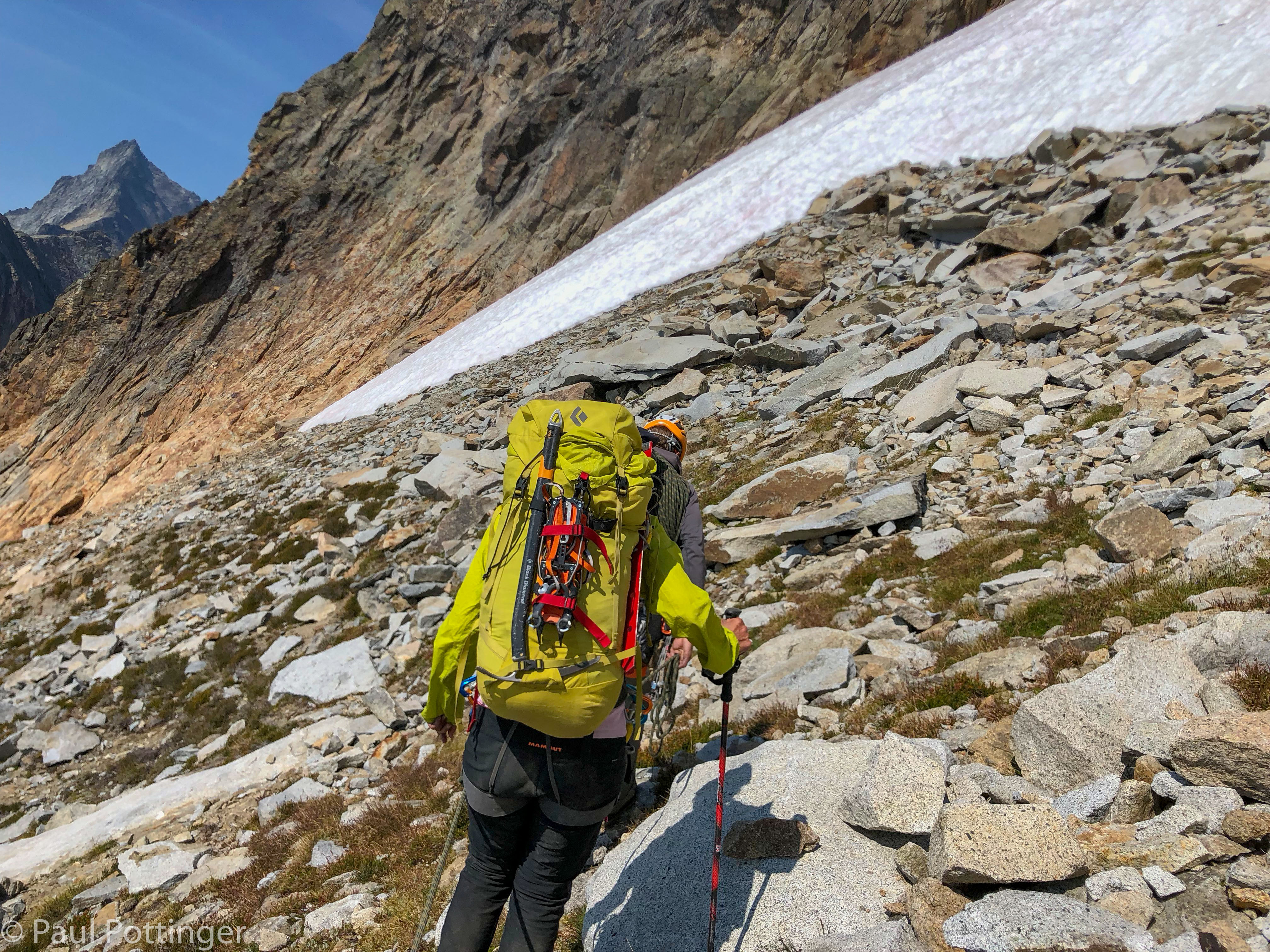
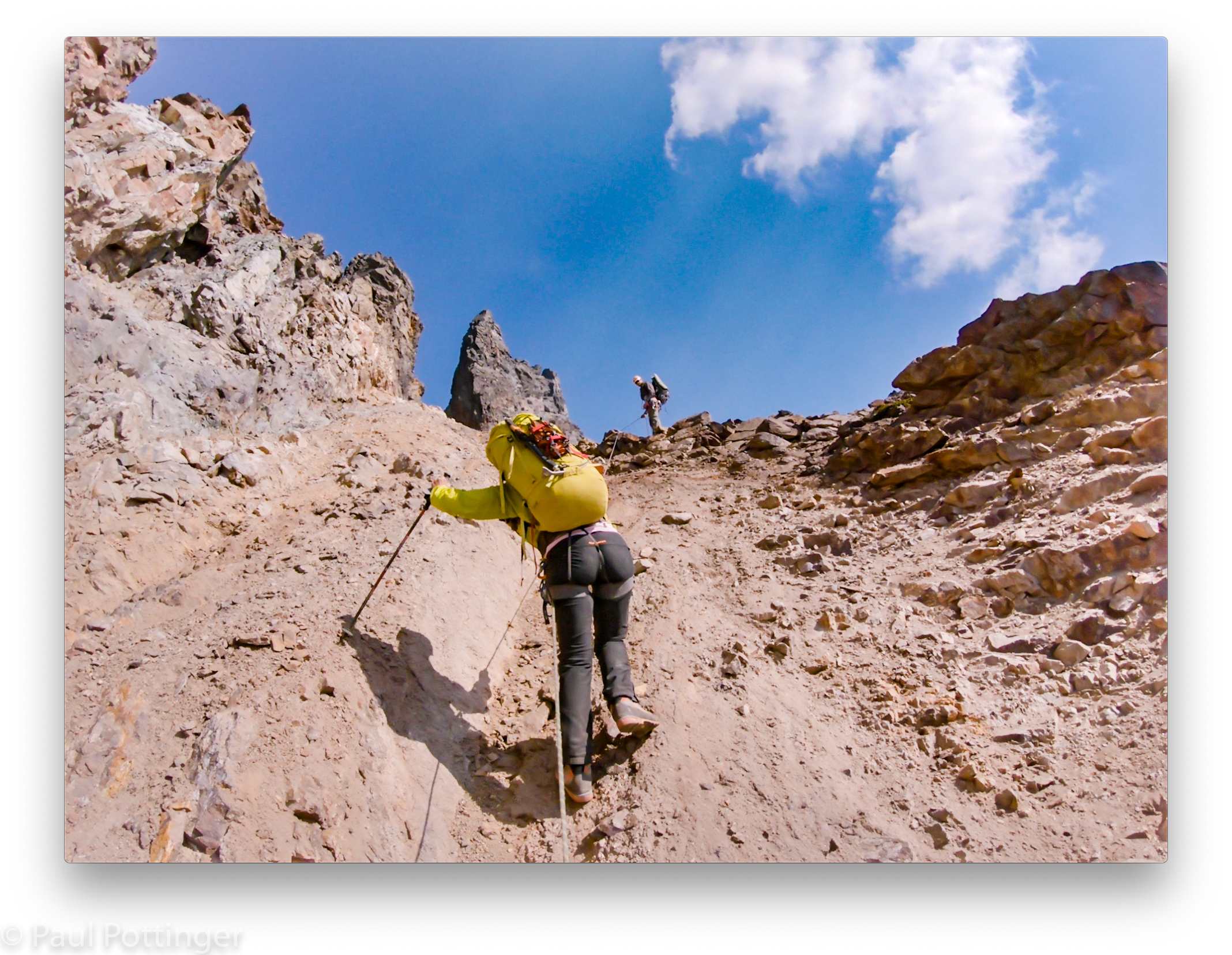
We ate breakfast, used the latrine, got packed up, and headed out of camp a bit after 7 AM. The route to Sharkfin took us in a traversing path across vast talus fields, sprinkled with wildflowers and low green cover. The sky was clear, winds were calm, and we had the entire Basin to ourselves.
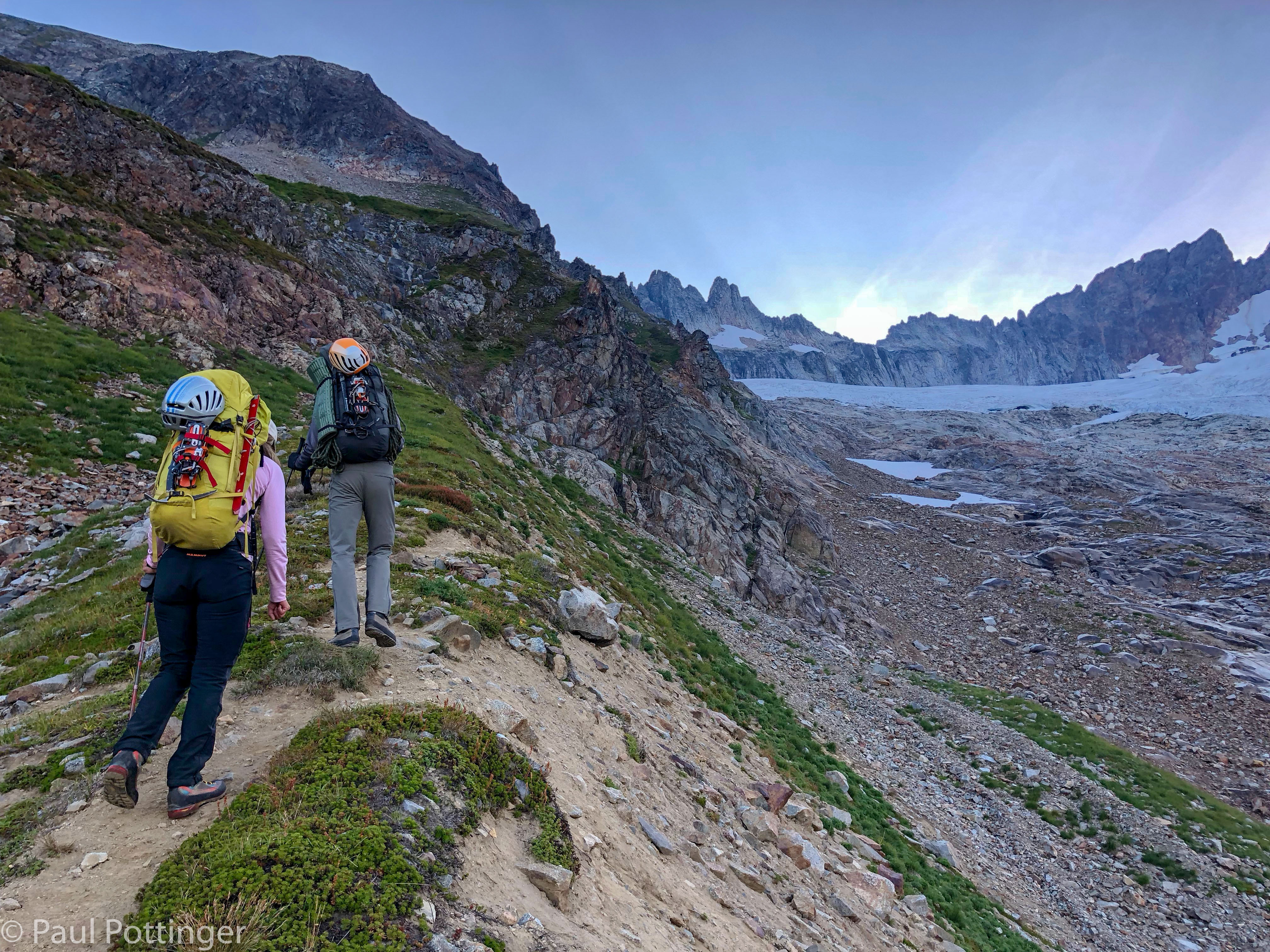

Less than an hour after leaving camp we left the jumble of the lateral moraine and stepped onto the comparatively flat glacier bed itself. I suspect that this terrain had been covered with ice in previous decades, and that the Quien Sabe has retreated like most glaciers in North America. Now it is a mixture of smooth slabs and choss fragments resting on saturated earth. Justin guided us up the most footsure route.
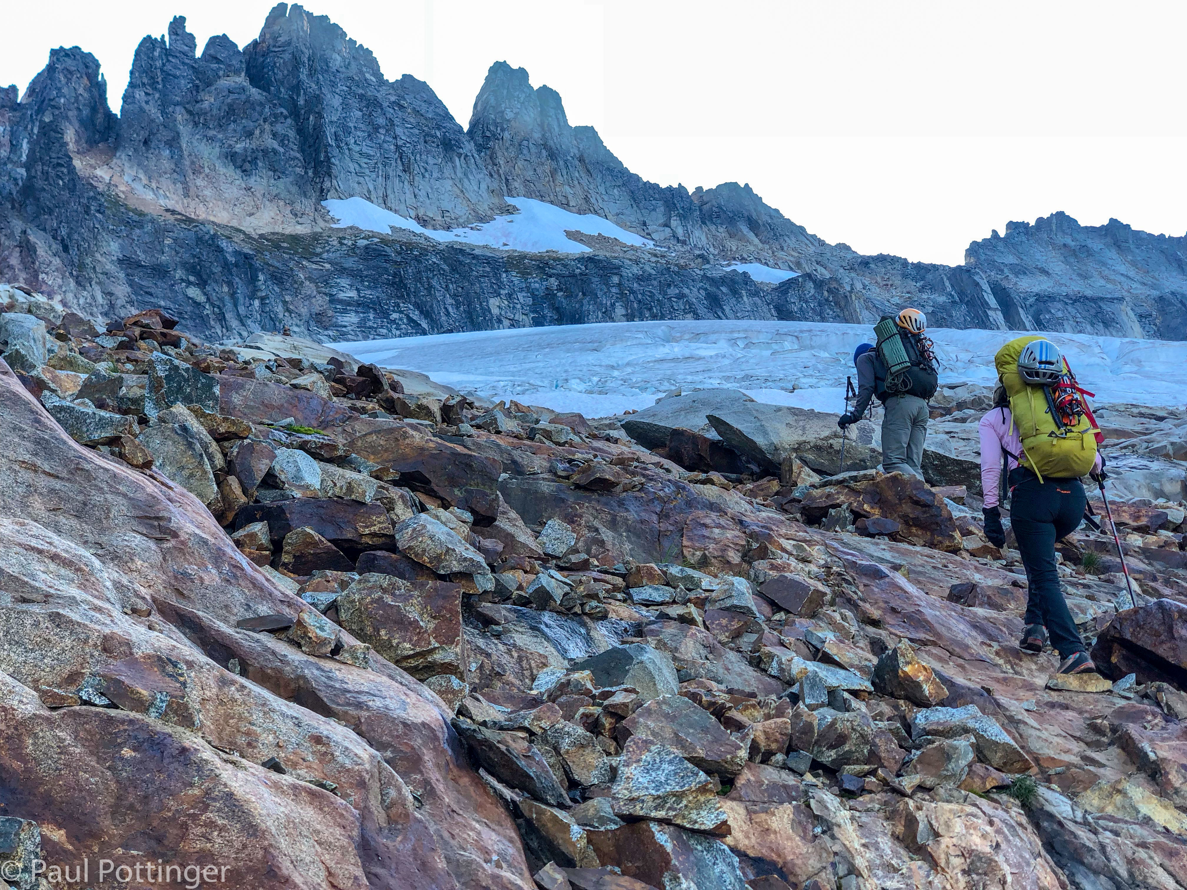
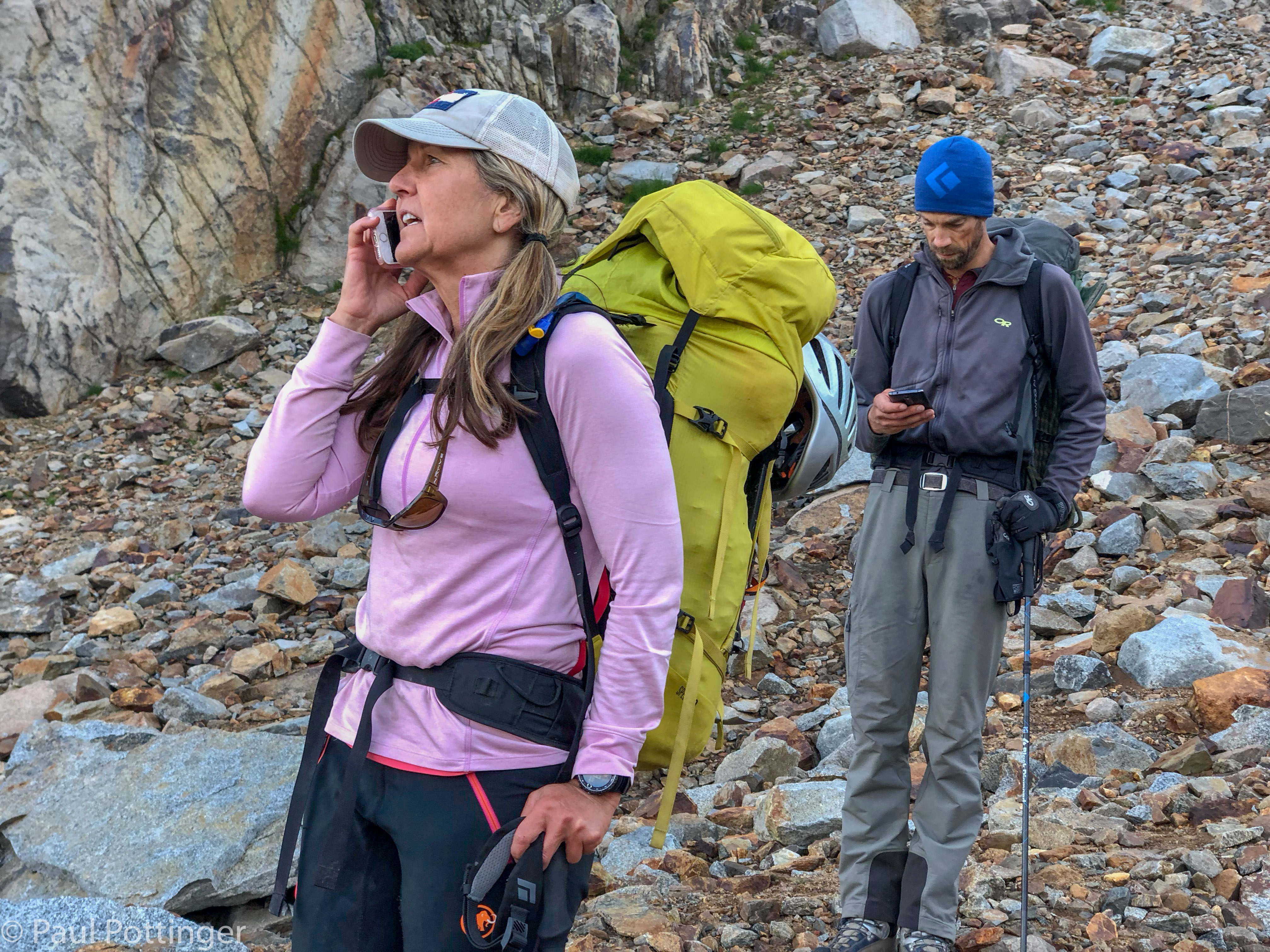
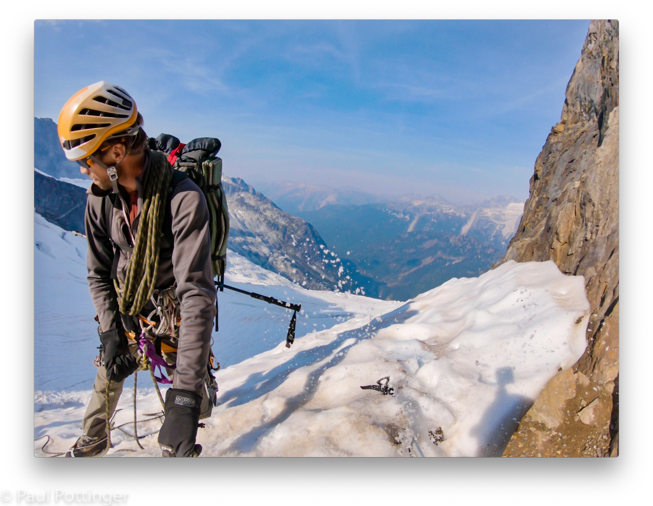
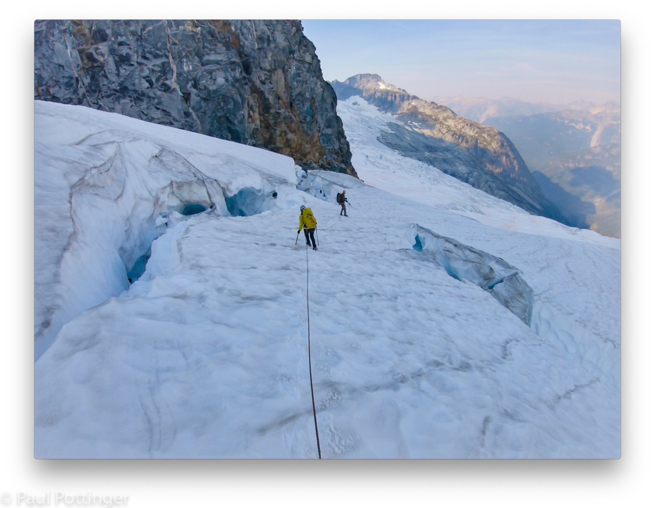
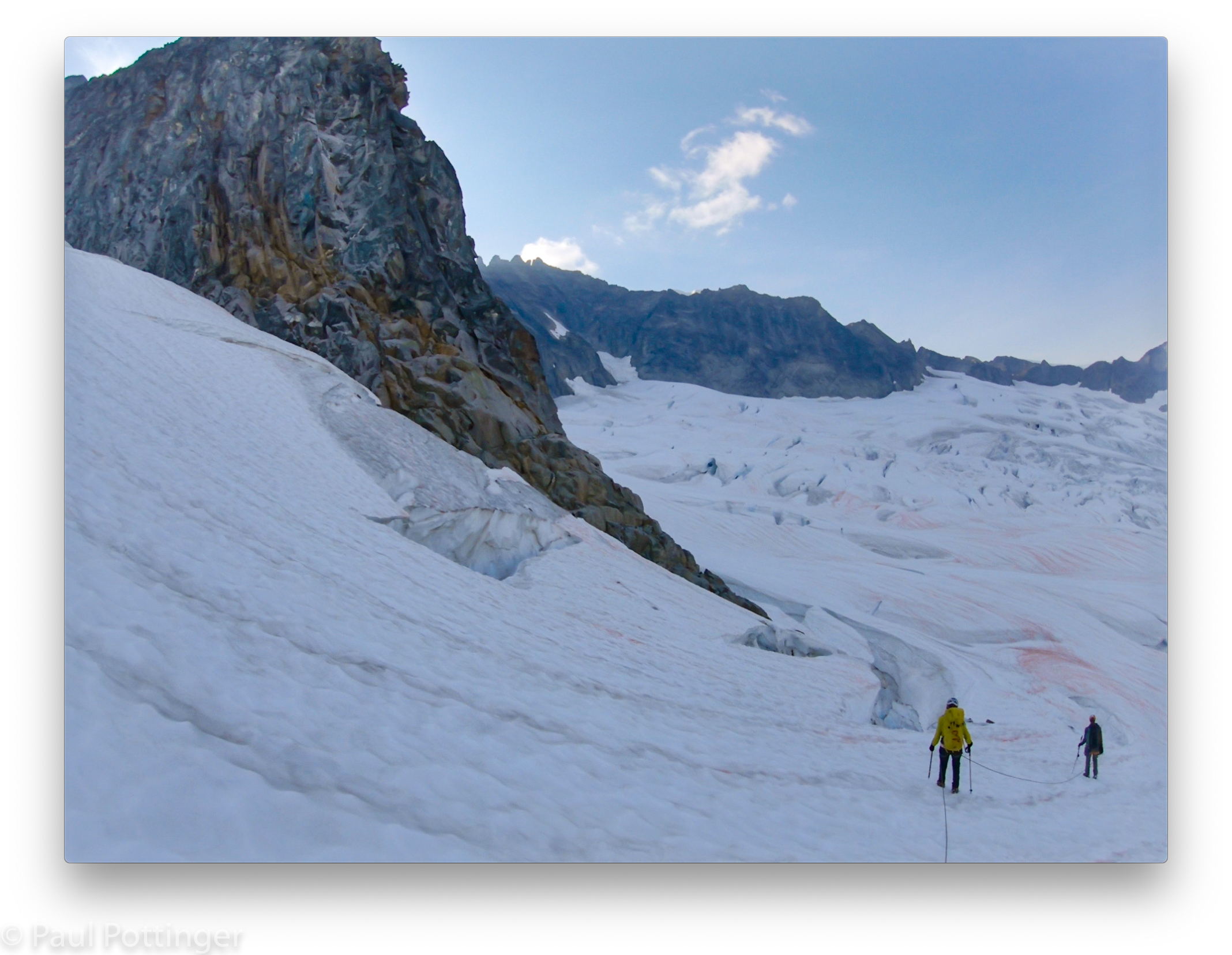
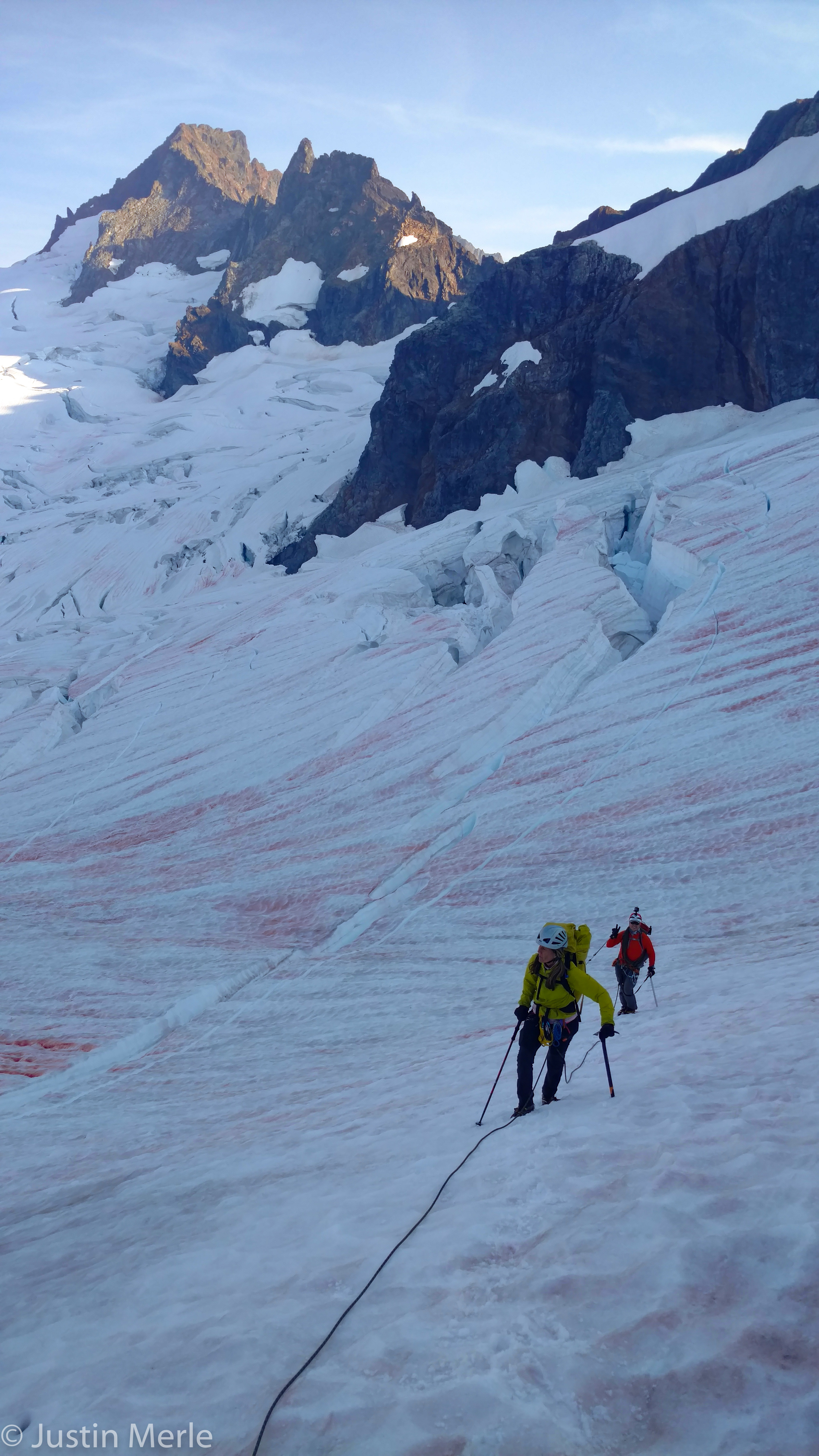
Soon we made it to the Quien Sabe, and took a break to refuel and get set for glacier travel. I was glad to be in the Grivel Airtech Lights: the points were ridiculously dull, but the snow was crunchy corn underfoot, and they worked perfectly, exactly as we had predicted. Justin led out, followed by Ann, and I walked anchor.
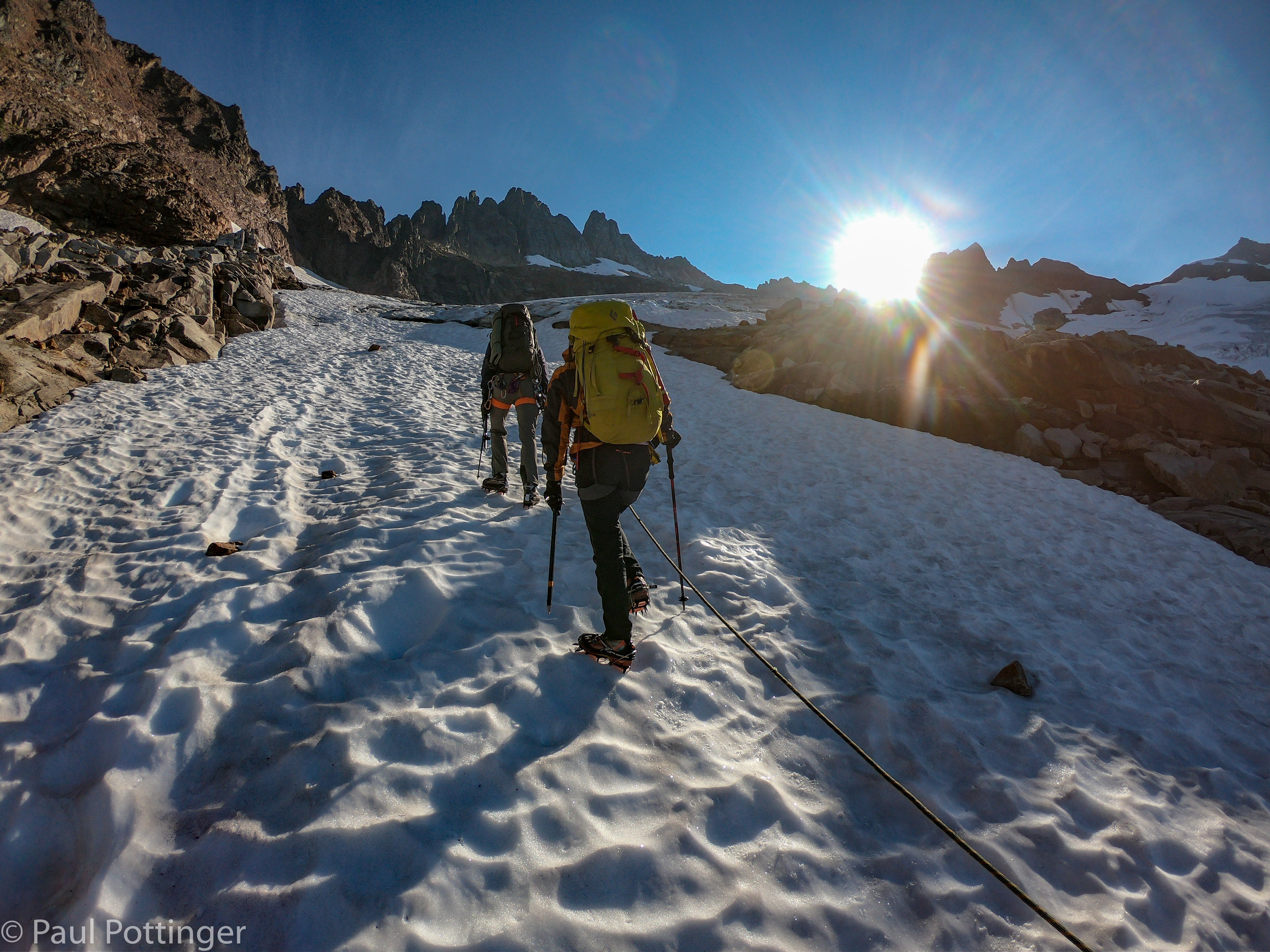
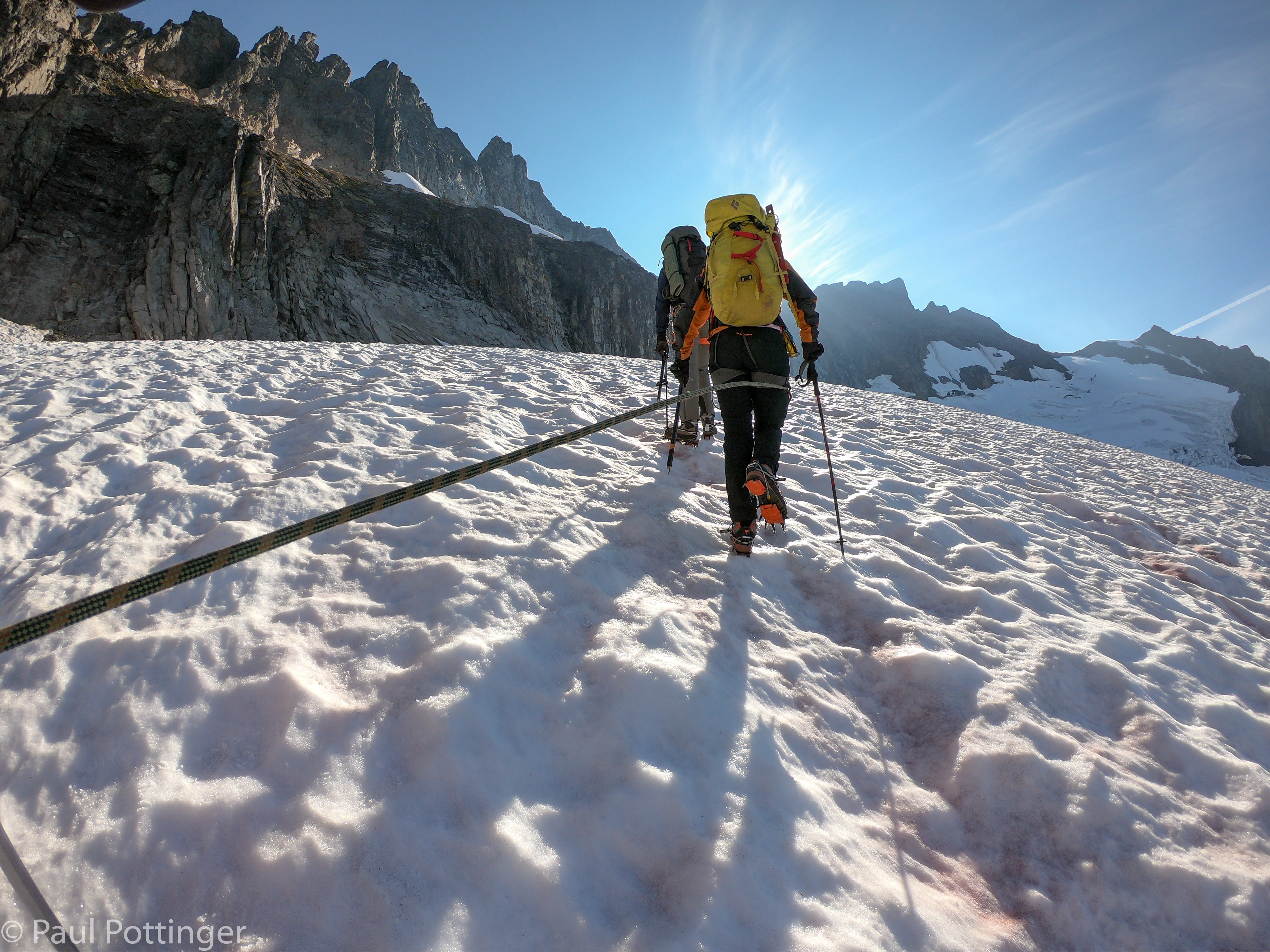
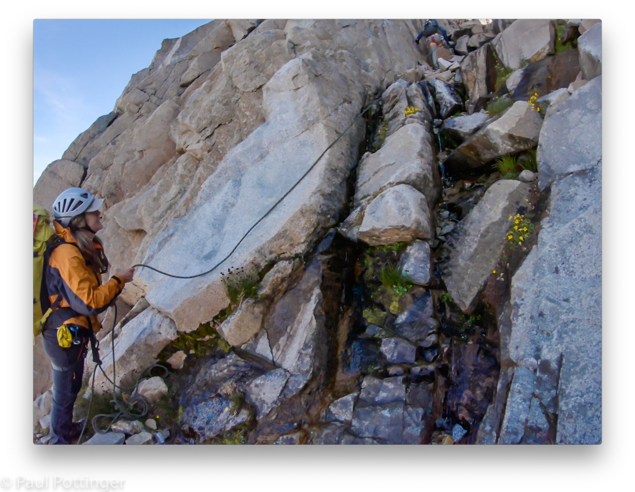
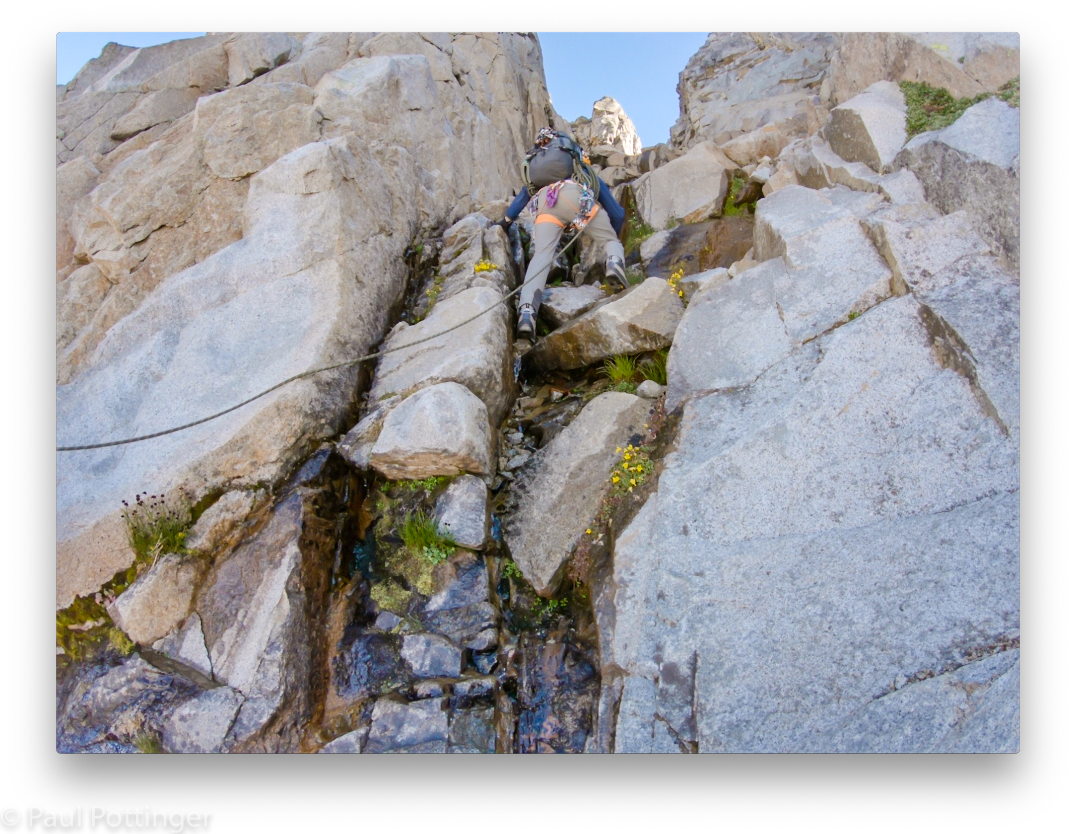
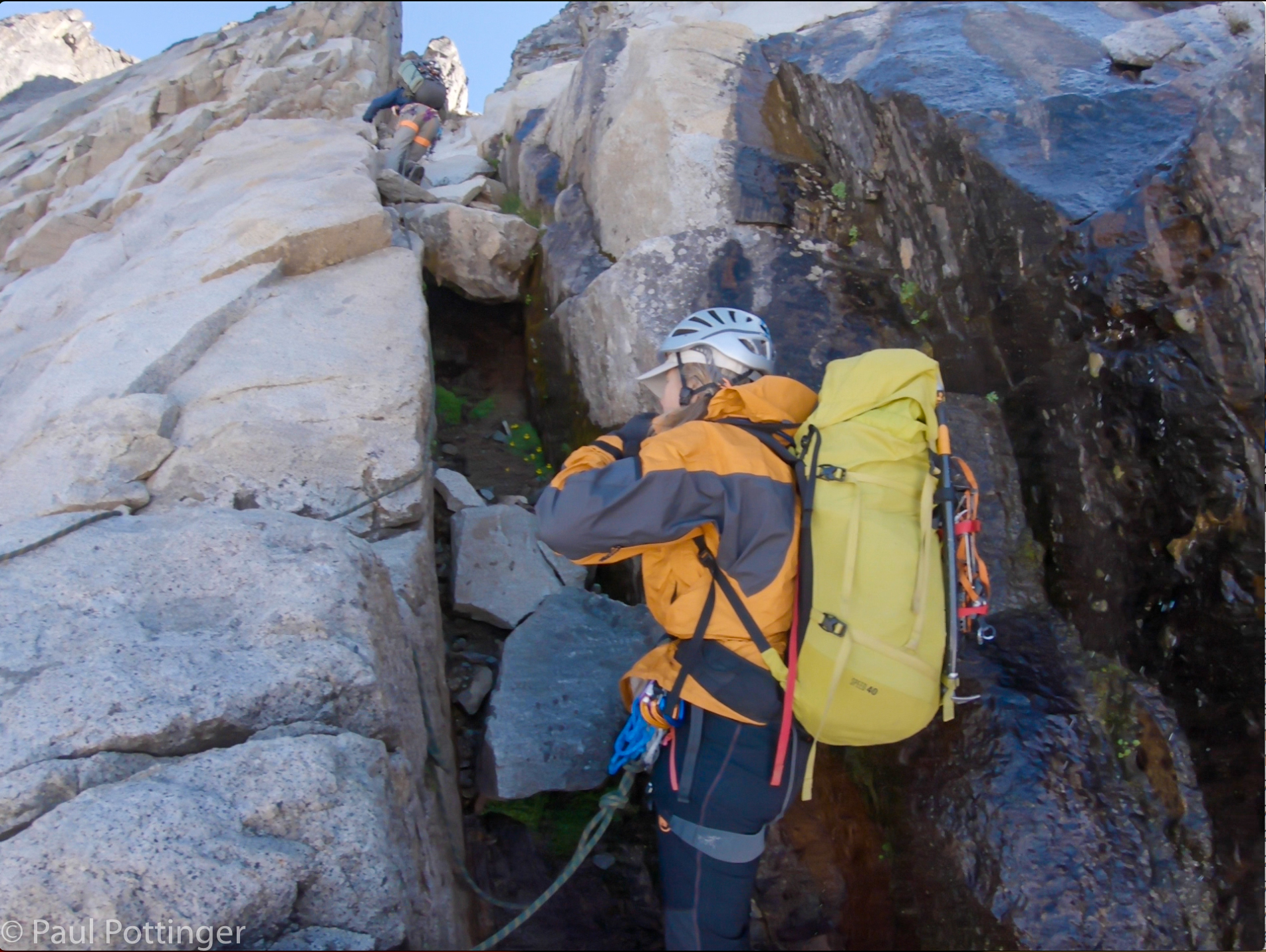
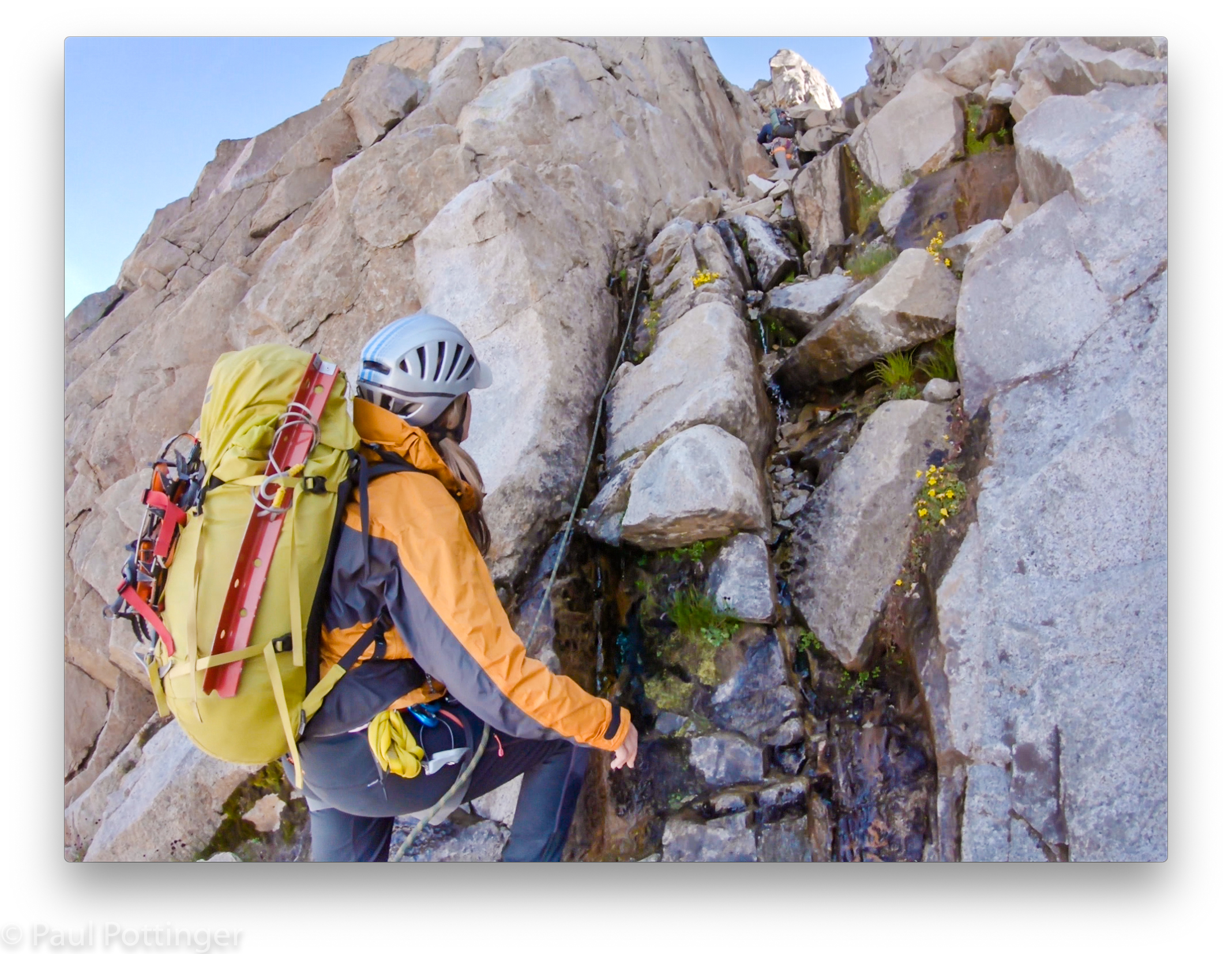
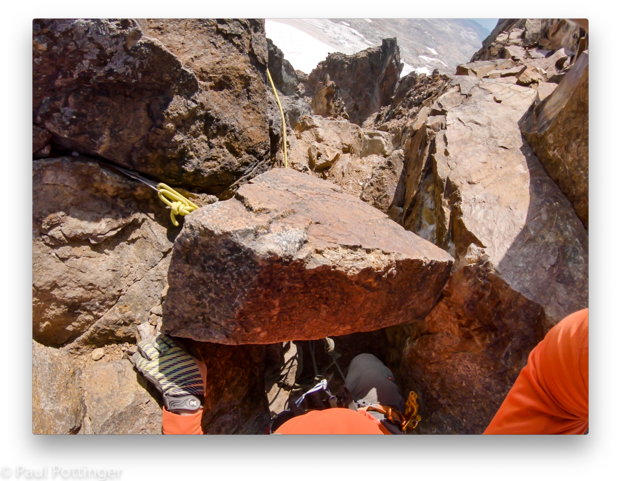
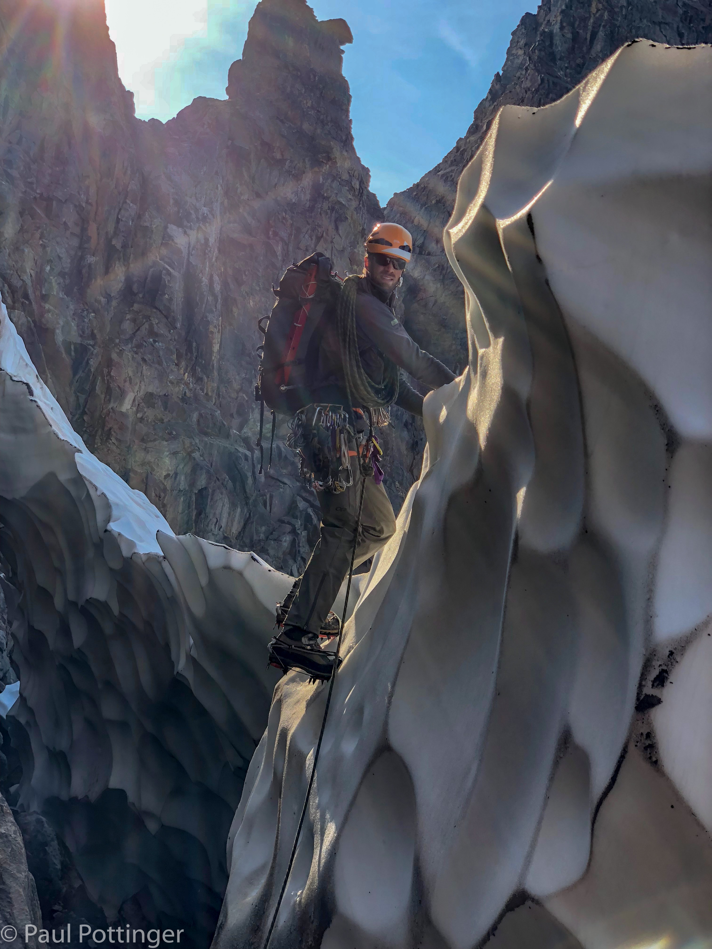
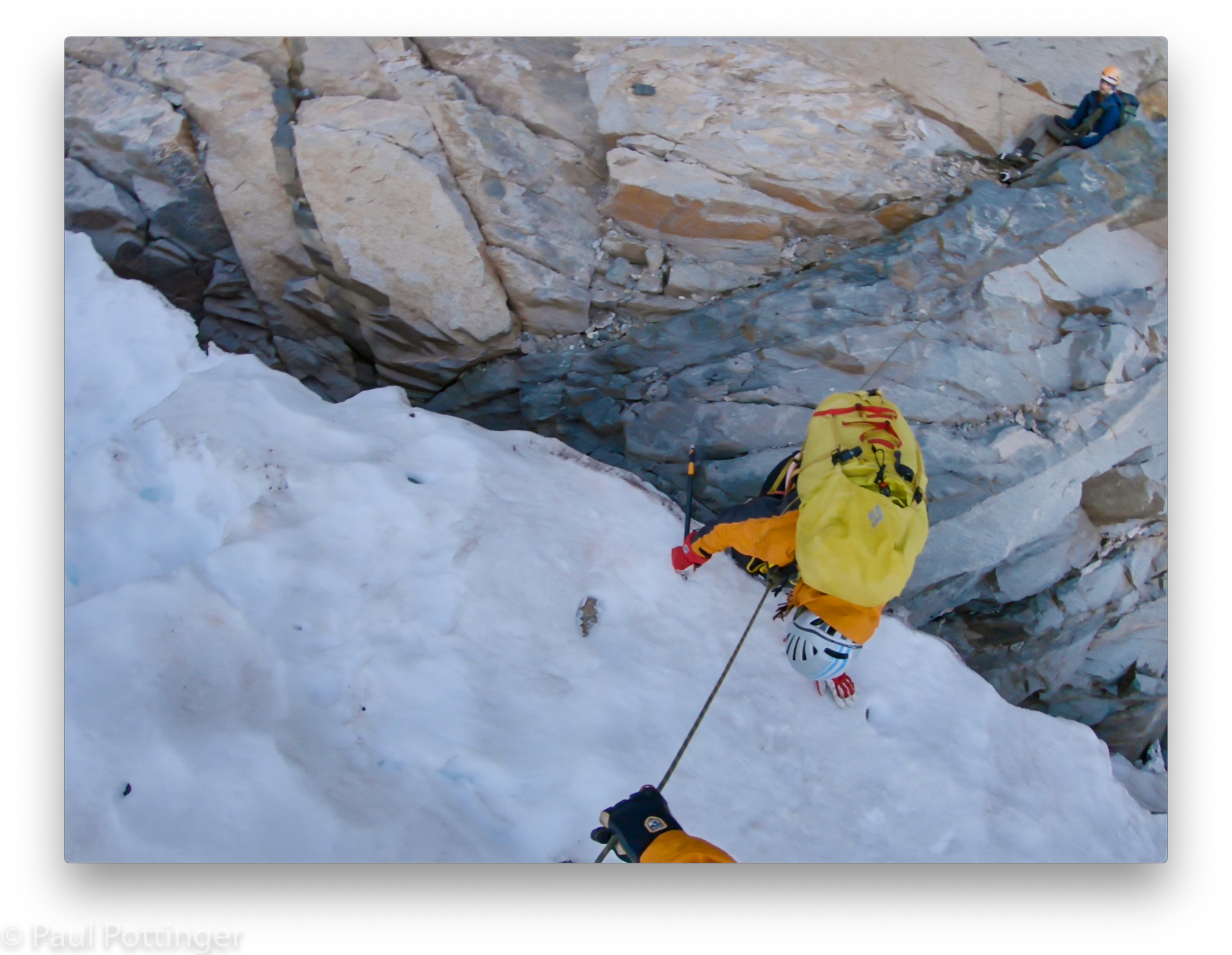
Our goal was a gully that connected the moat with a broad shelf several pitches above the glacier. In fact, there are numerous such gullies, and we traversed past them, one by one, each looking perfectly fine to me: broad, sunlit, well-traveled. But, Justin had a different way in mind, a couloir that I would not even have identified from the snow. Looking back now, it is clear that the gully he chose was far more stable than the others. He crossed the moat with ease, found a perch to belay from, and protected us one by one as we crossed simultaneously, separated by an arm span of rope.
It was a warm day, and snow on the ledge above had already begun to melt in the sun, sending water down the route onto us. It flowed down the walls, splashed onto us, and ran along the gully floor. This couloir is rarely climbed, and lots of choss shifted underfoot. Not the kind of route people dream of, but it felt like we were pioneering something new. This was OUR route.
And it was fun.


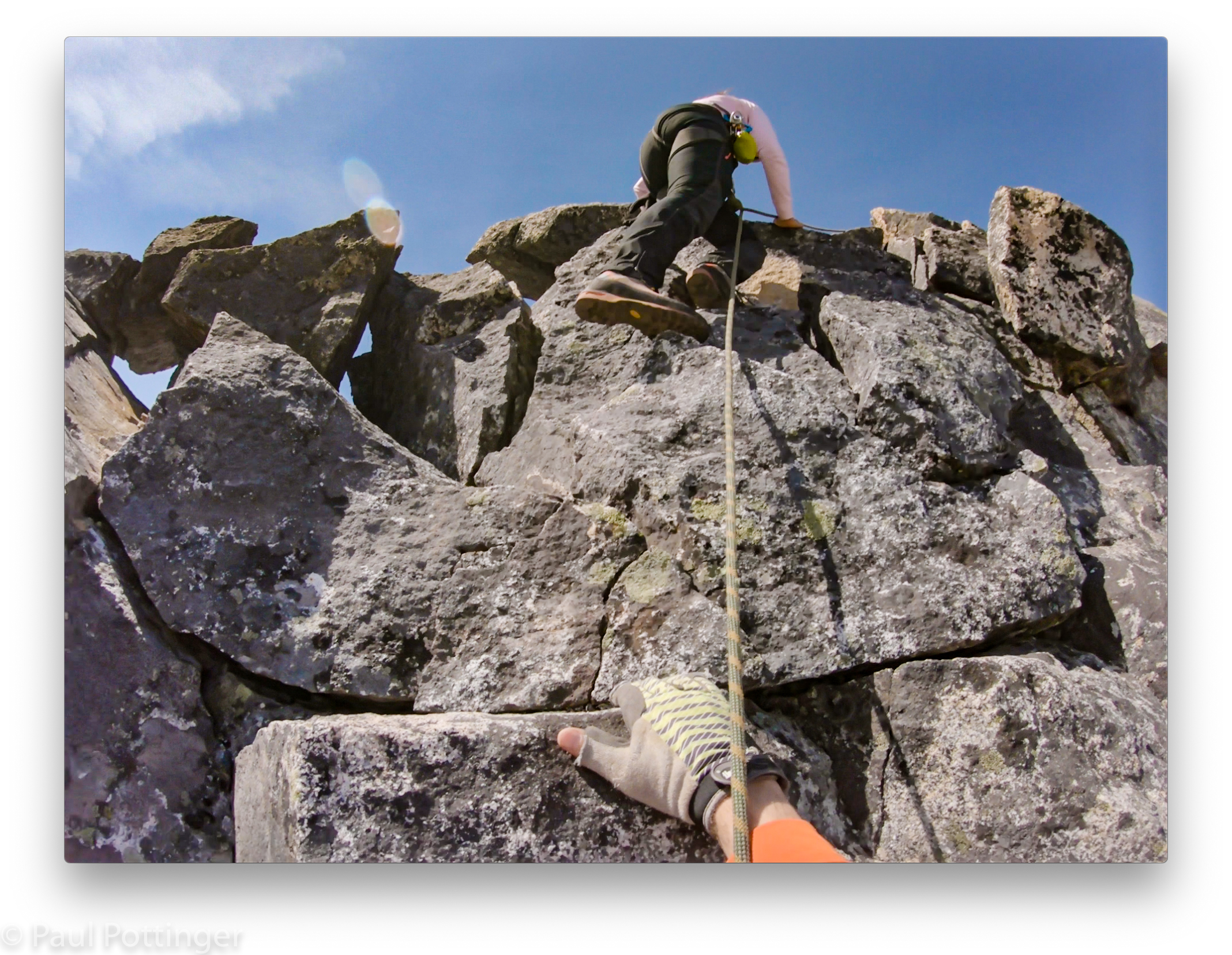
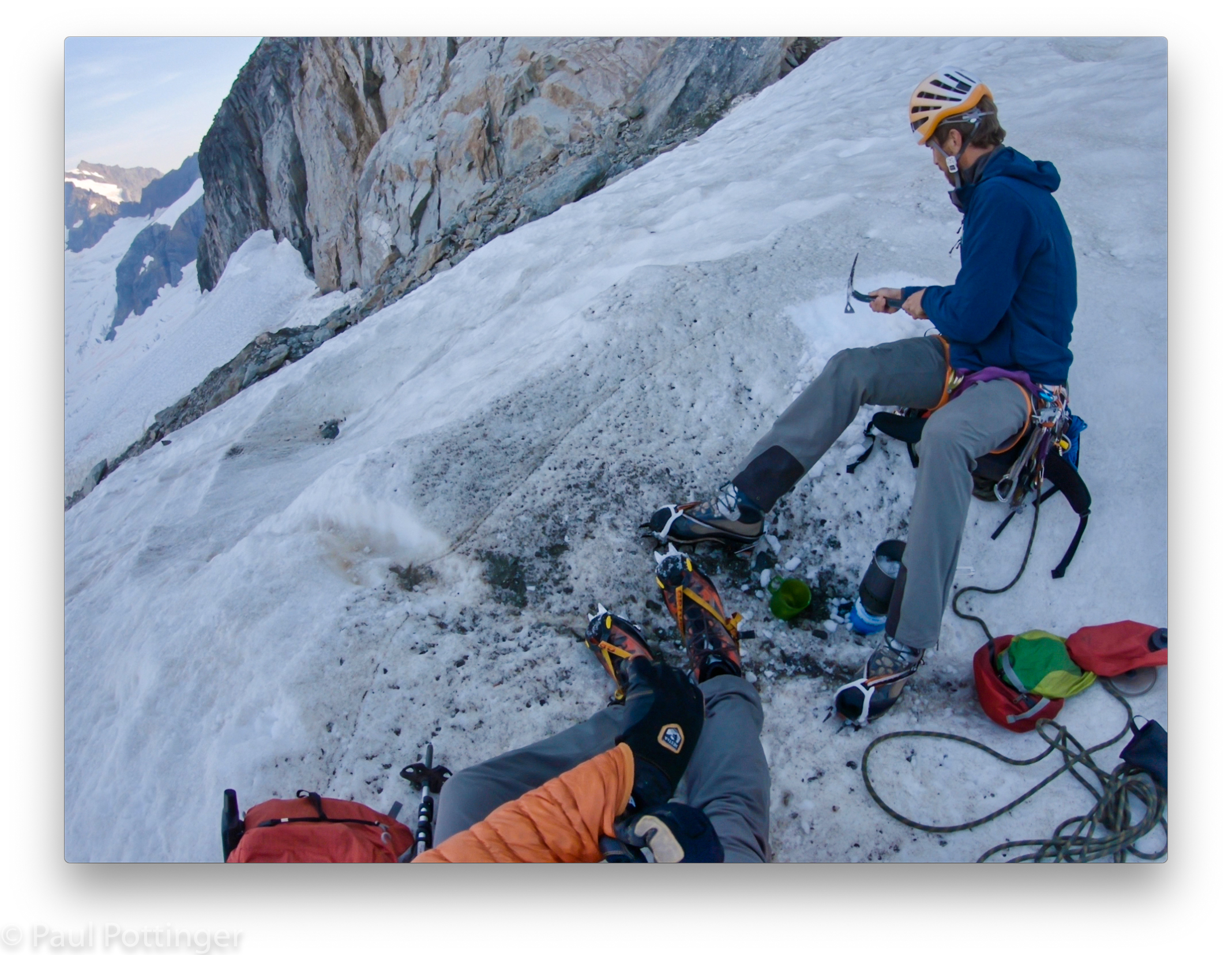
After several pitches we made it to the ledge. I hesitate to call it a ledge, actually it was a broad 30 degree incline of choss and snow, but its low angle would allow us to walk for about 15 minutes up to the base of the fifth class. First, it was time for a quick break.


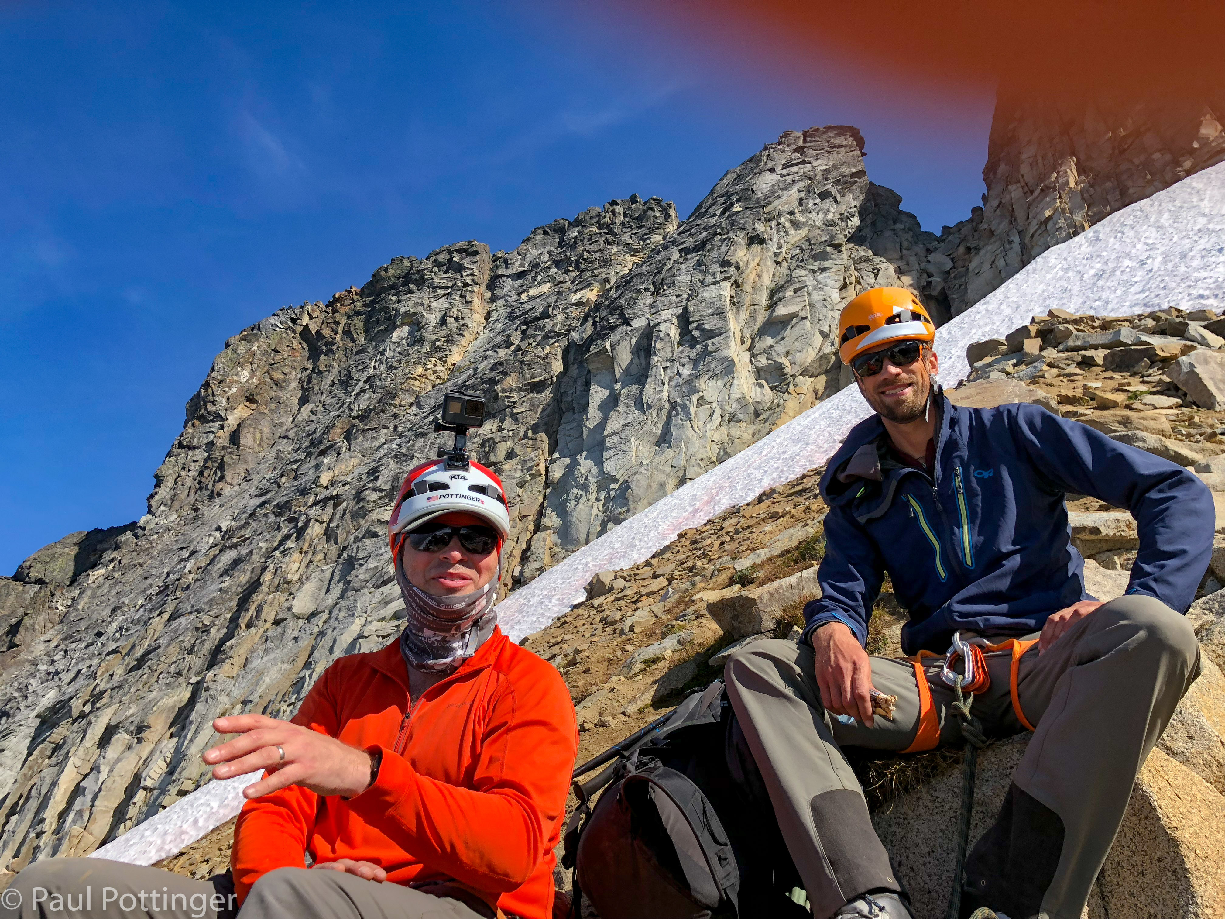
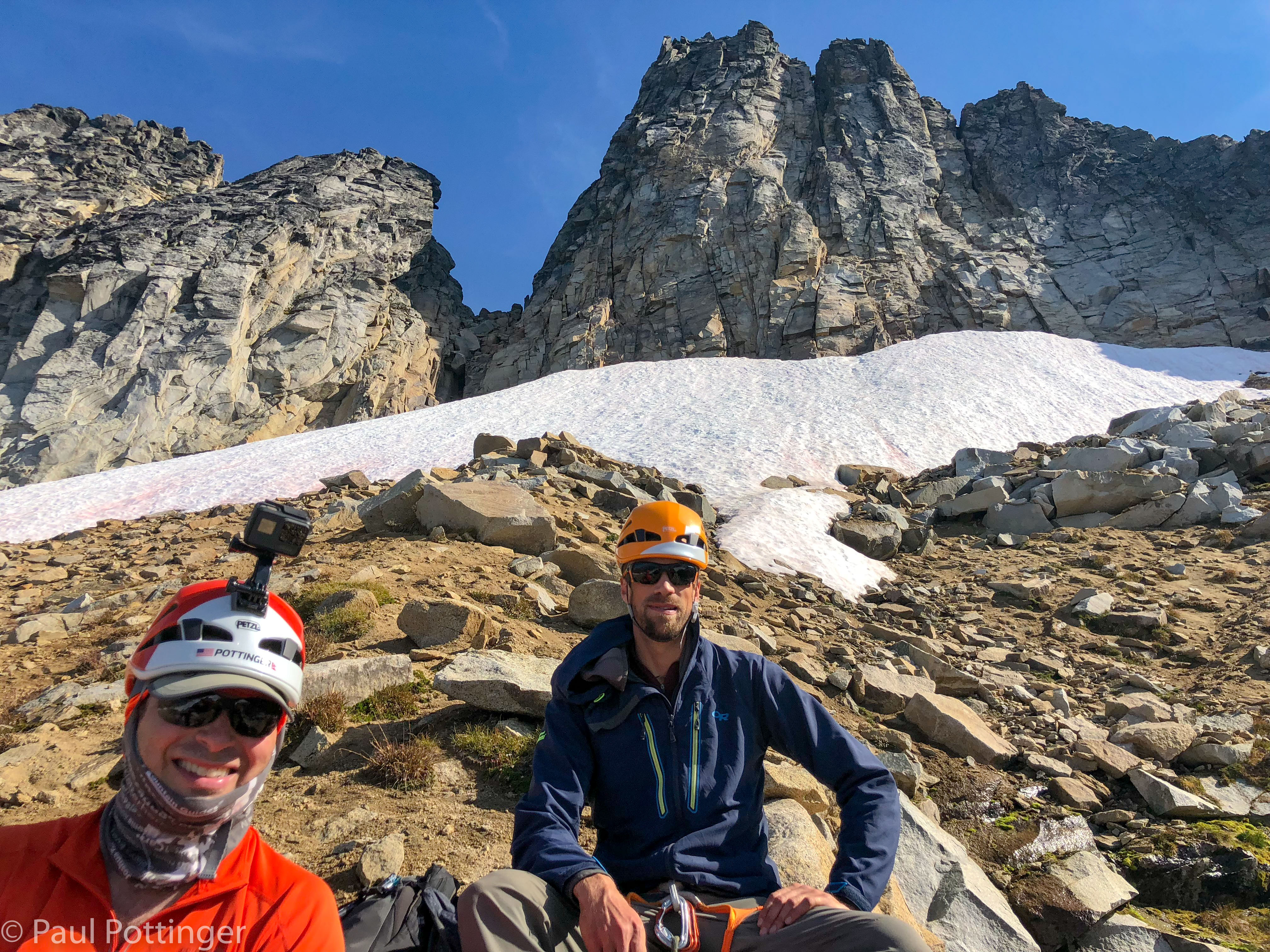
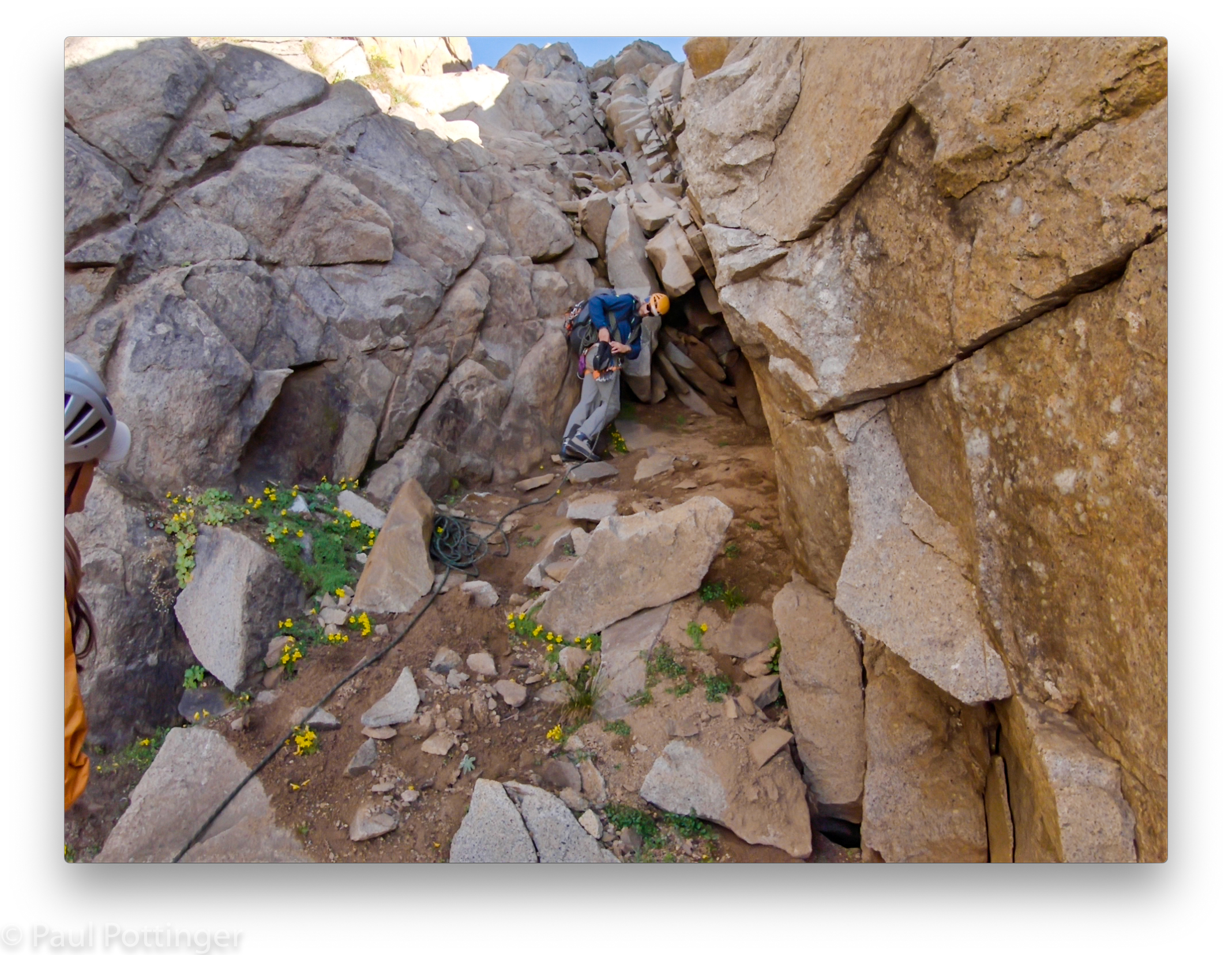
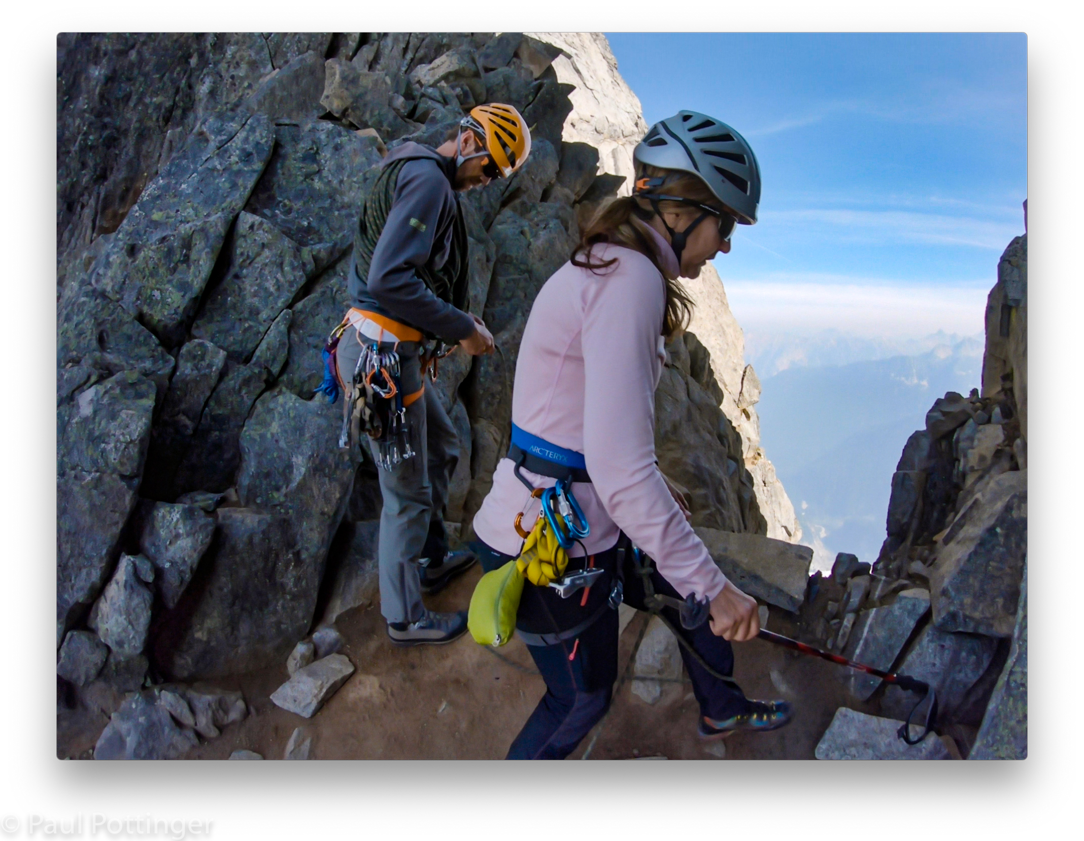
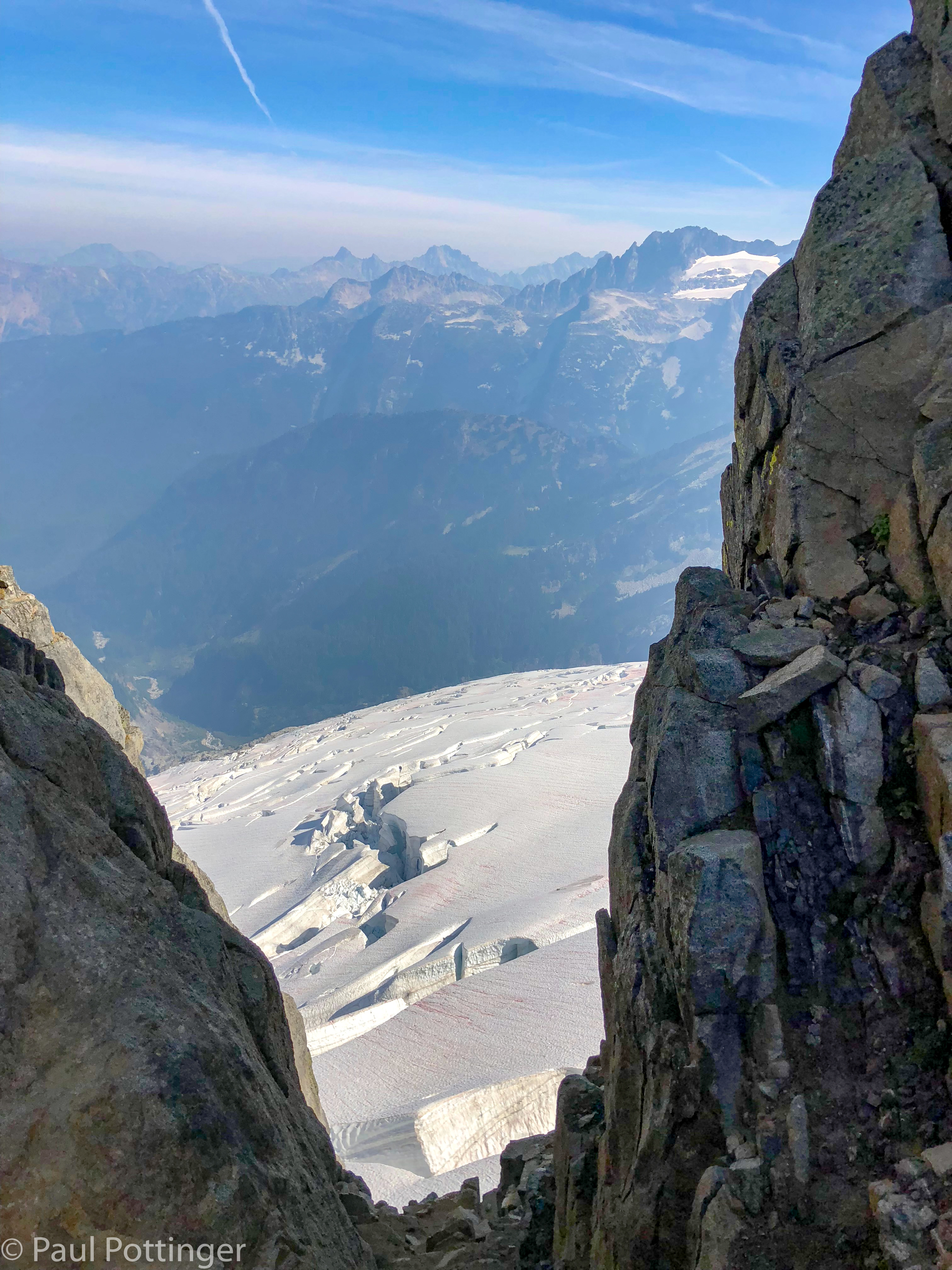
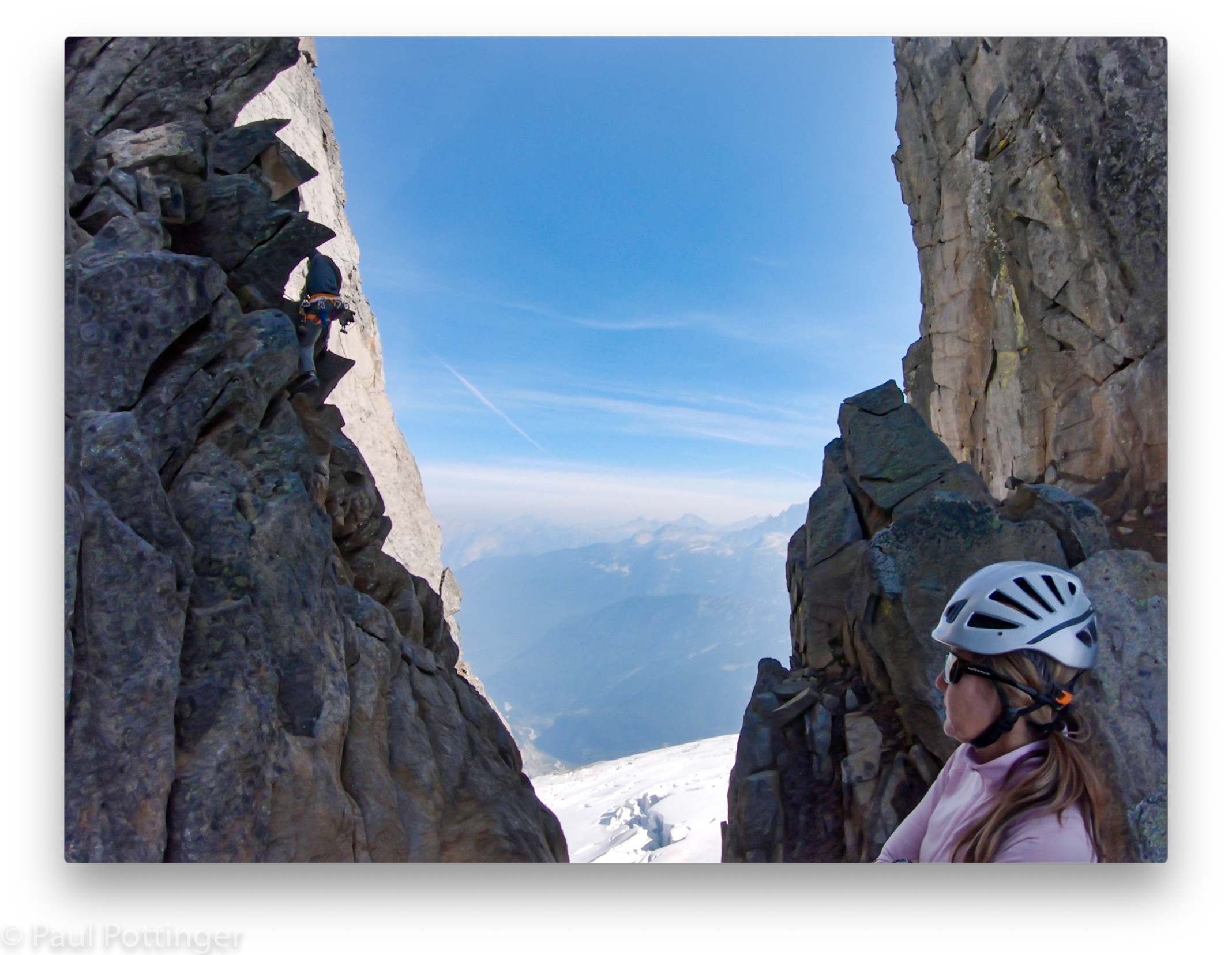
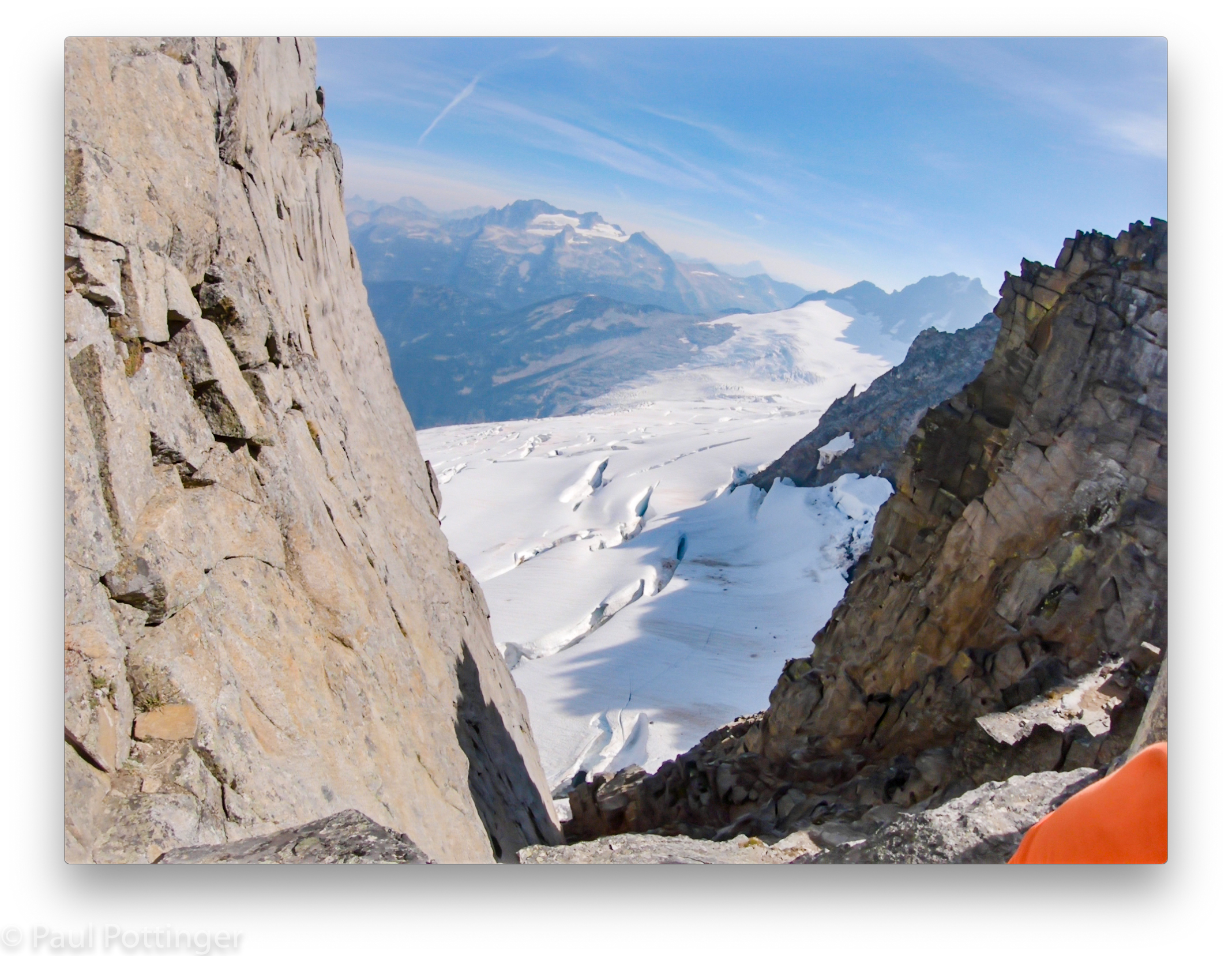
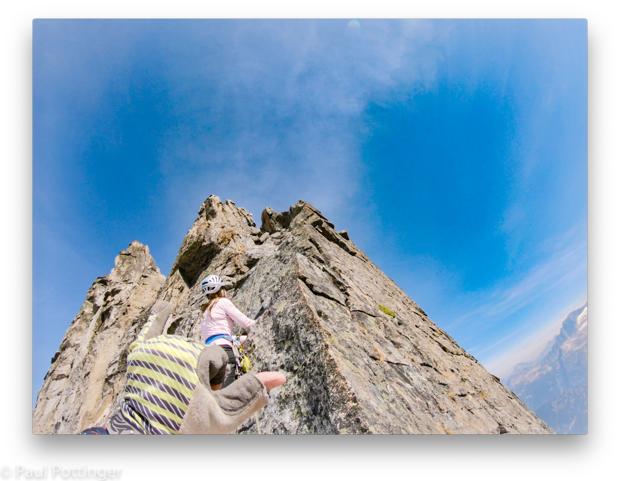
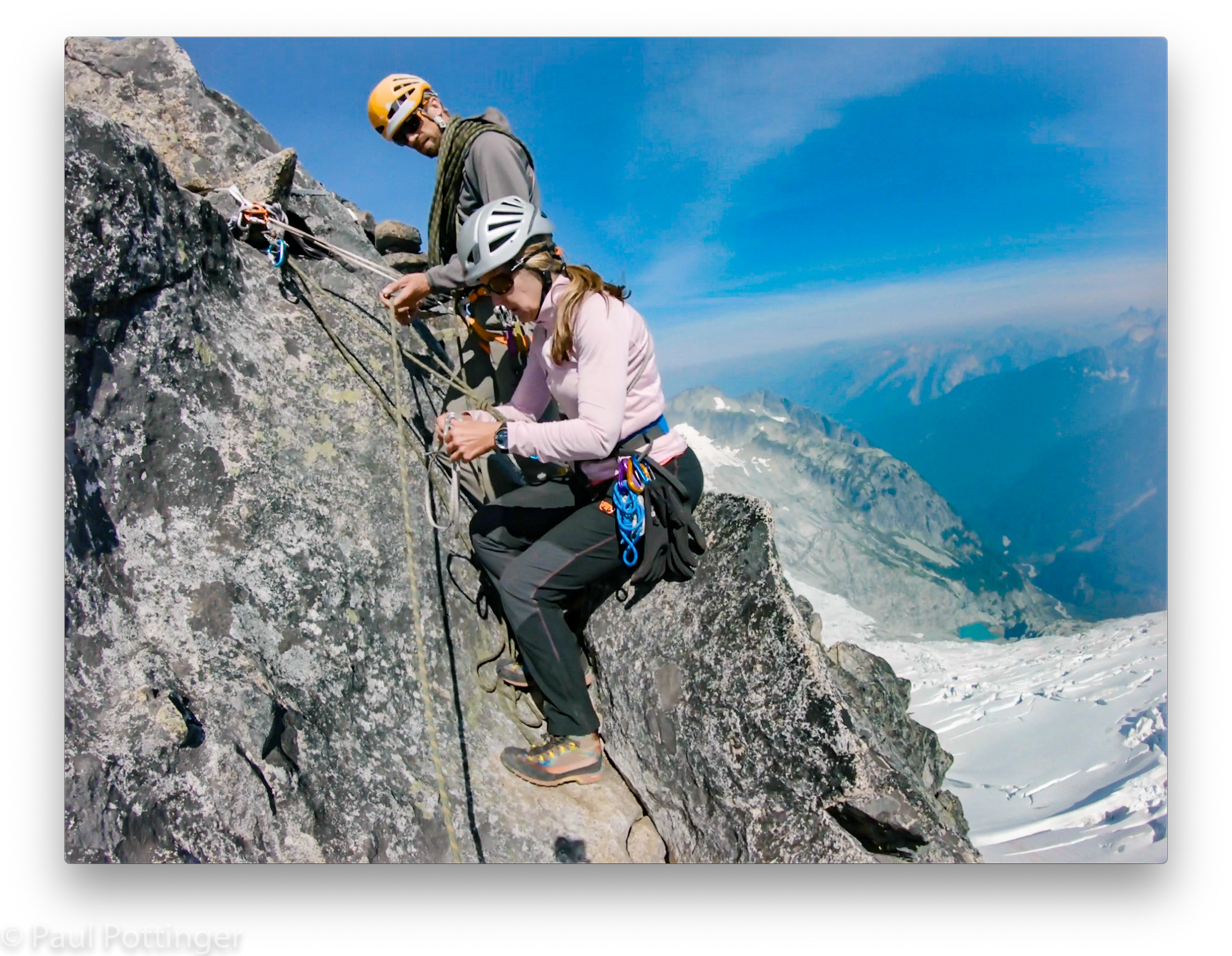
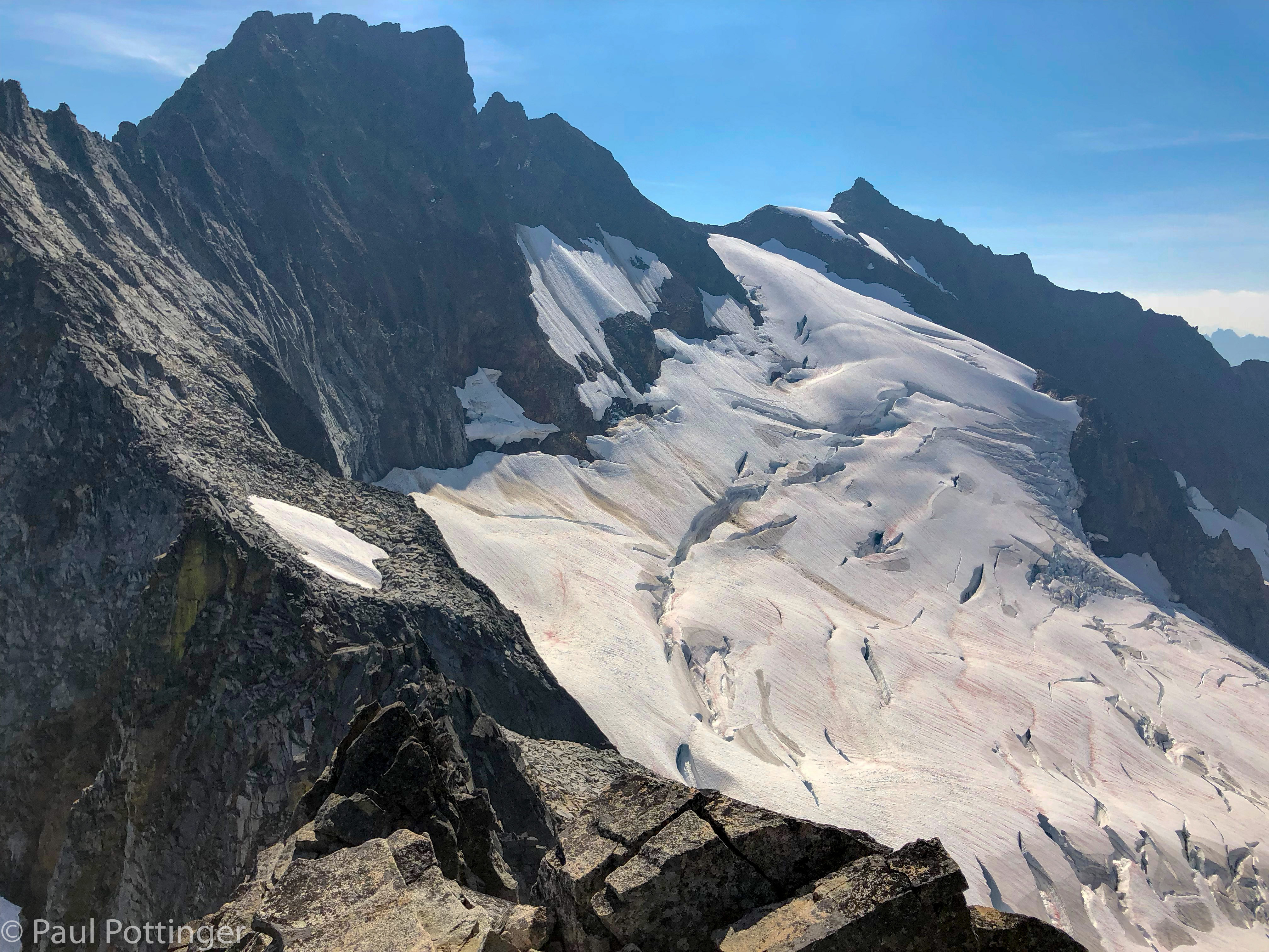
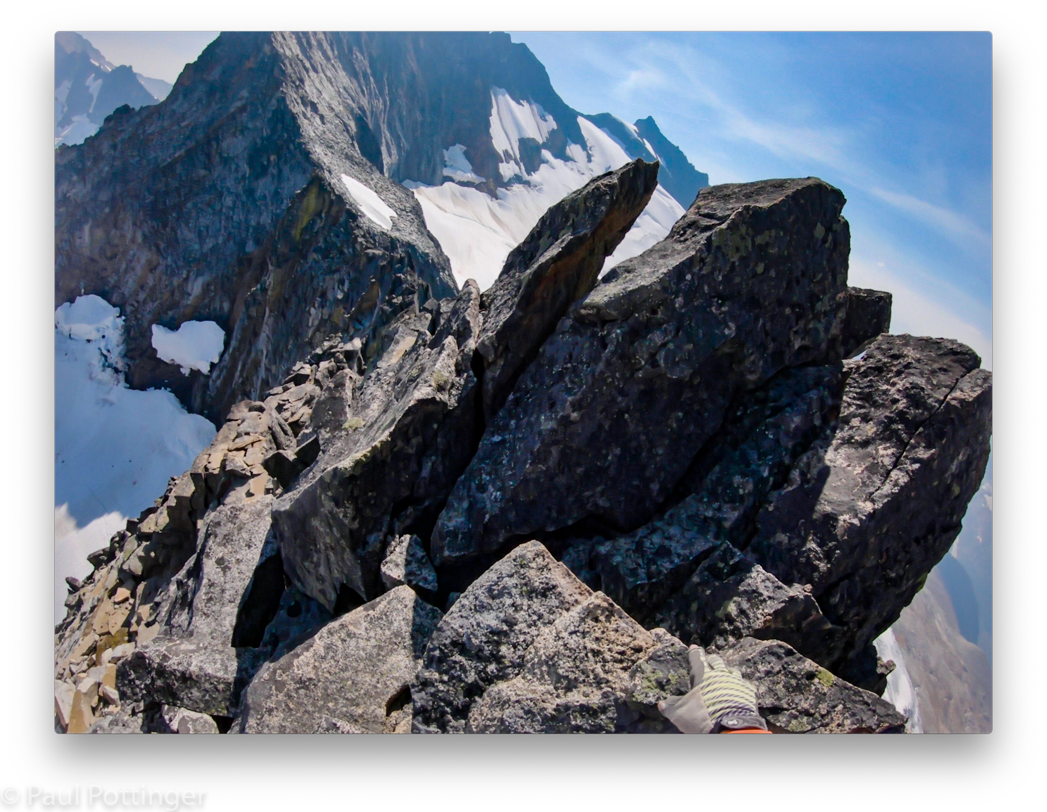
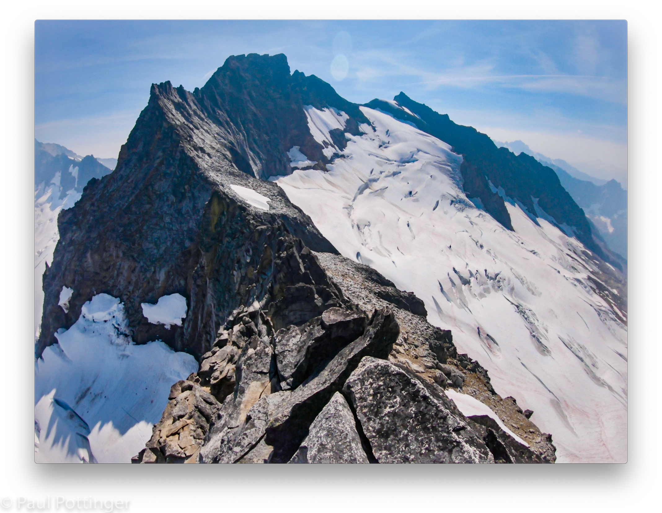
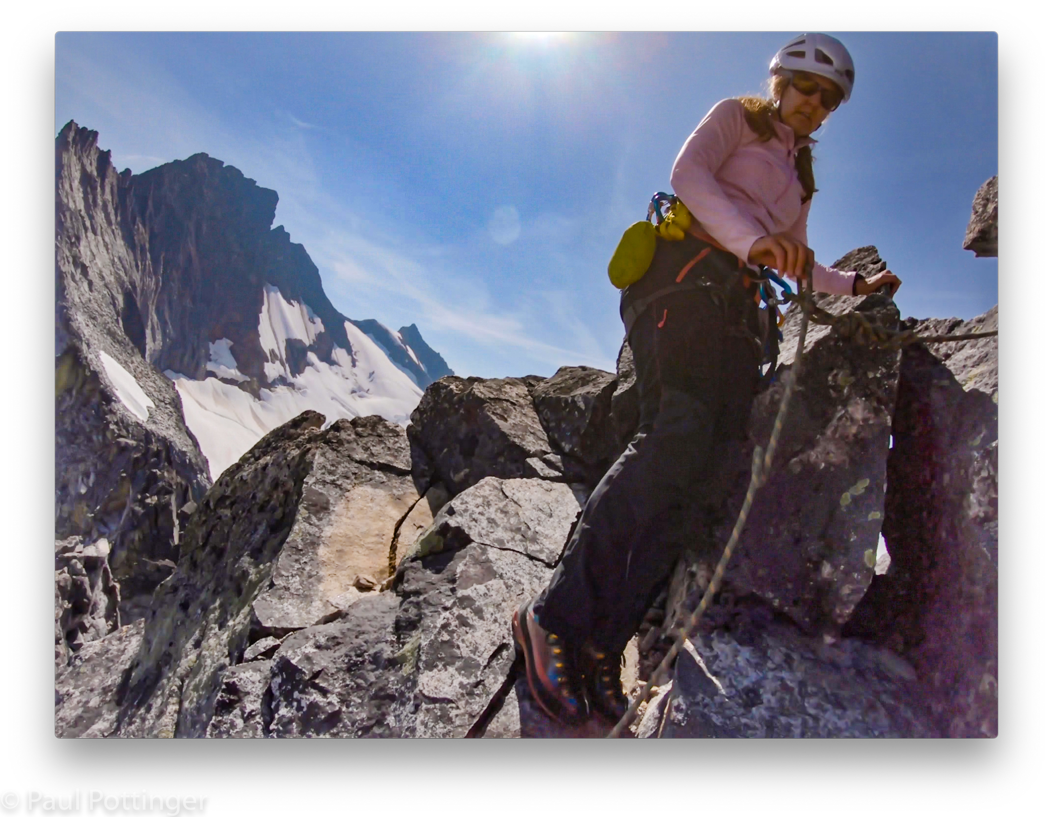
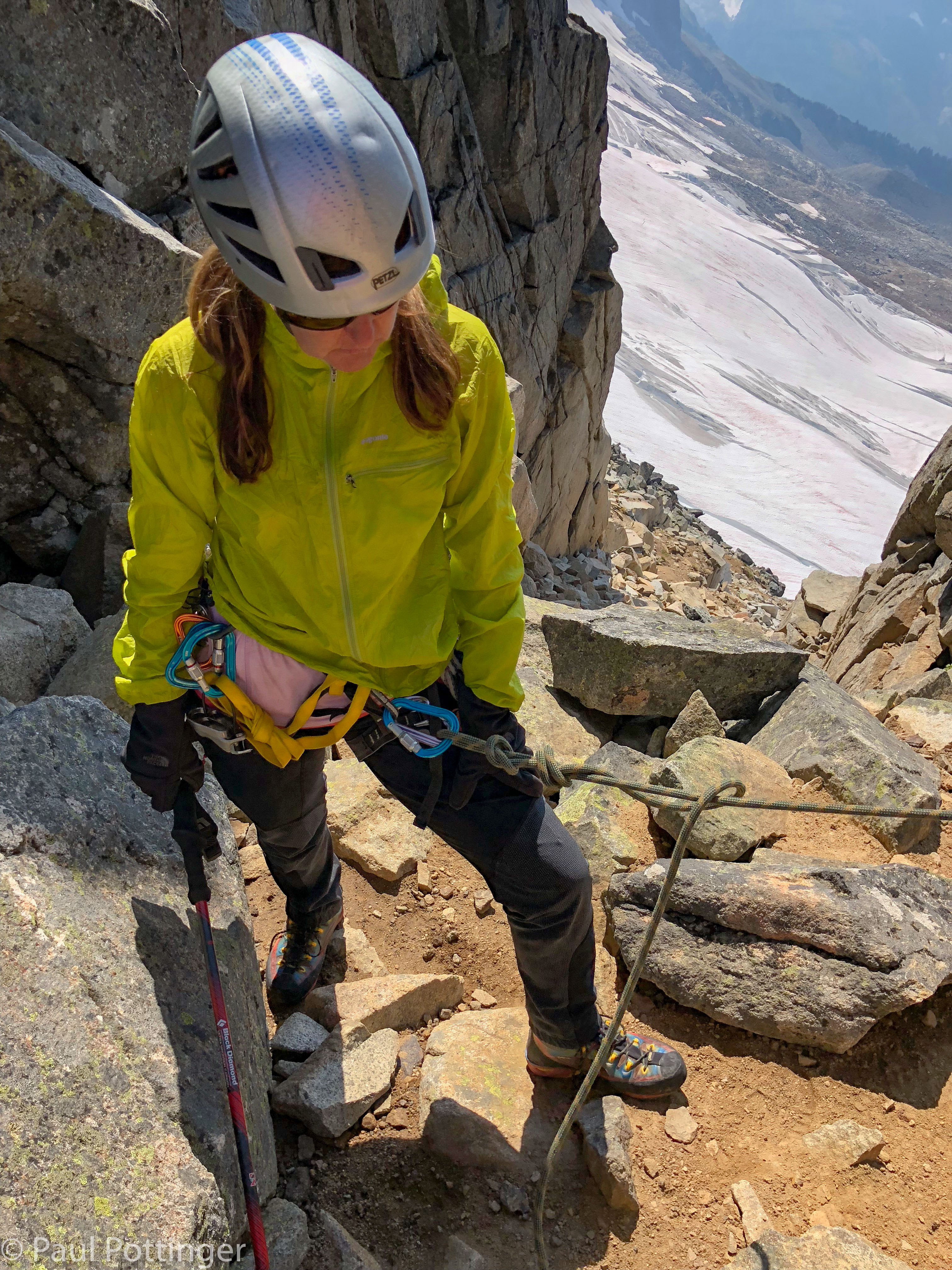
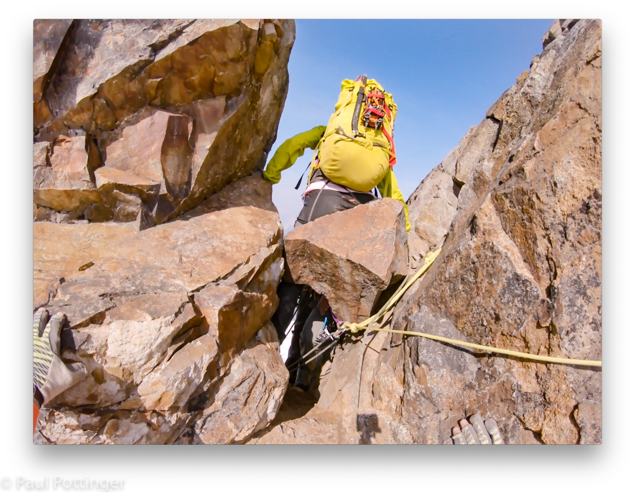
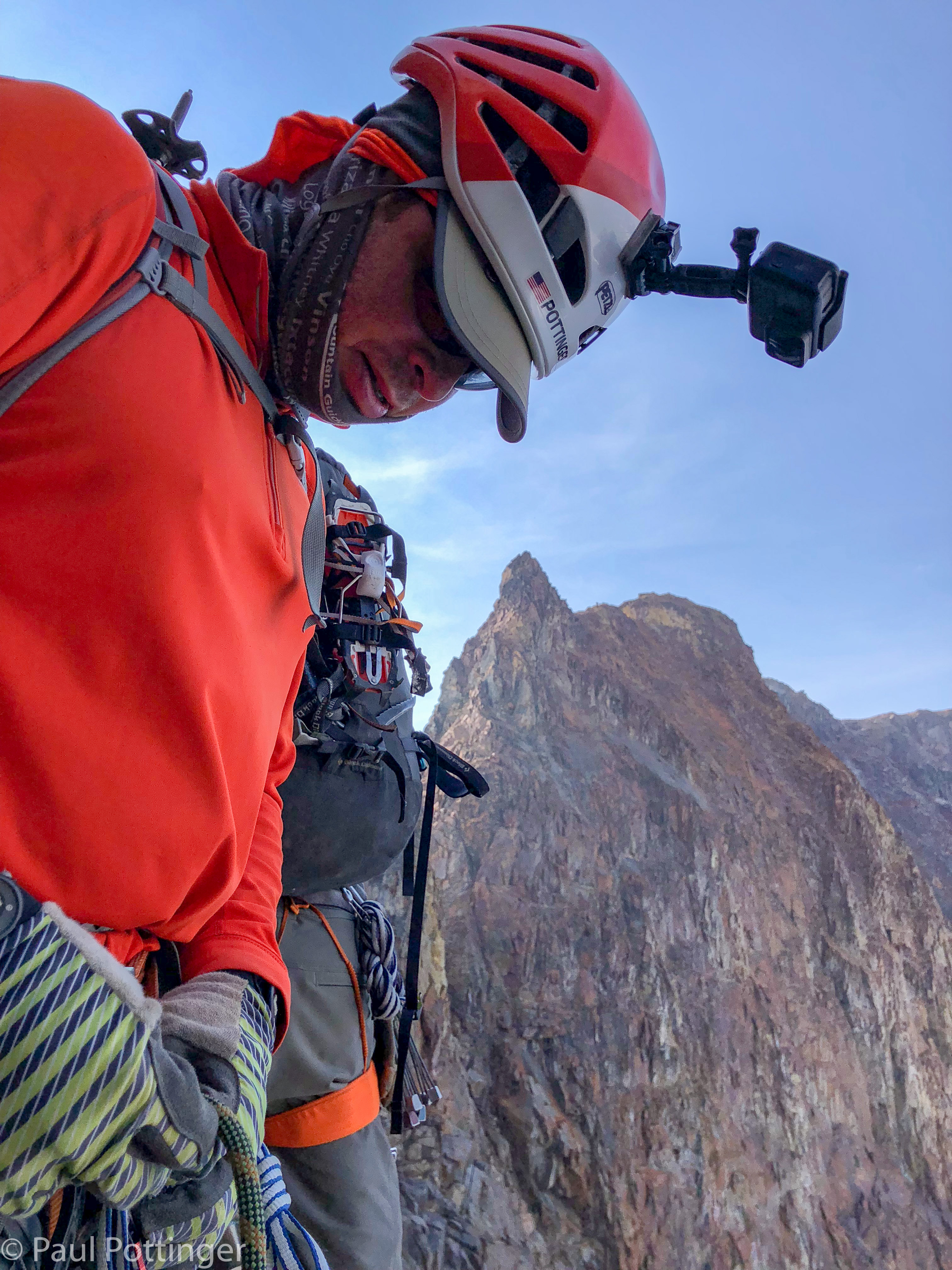
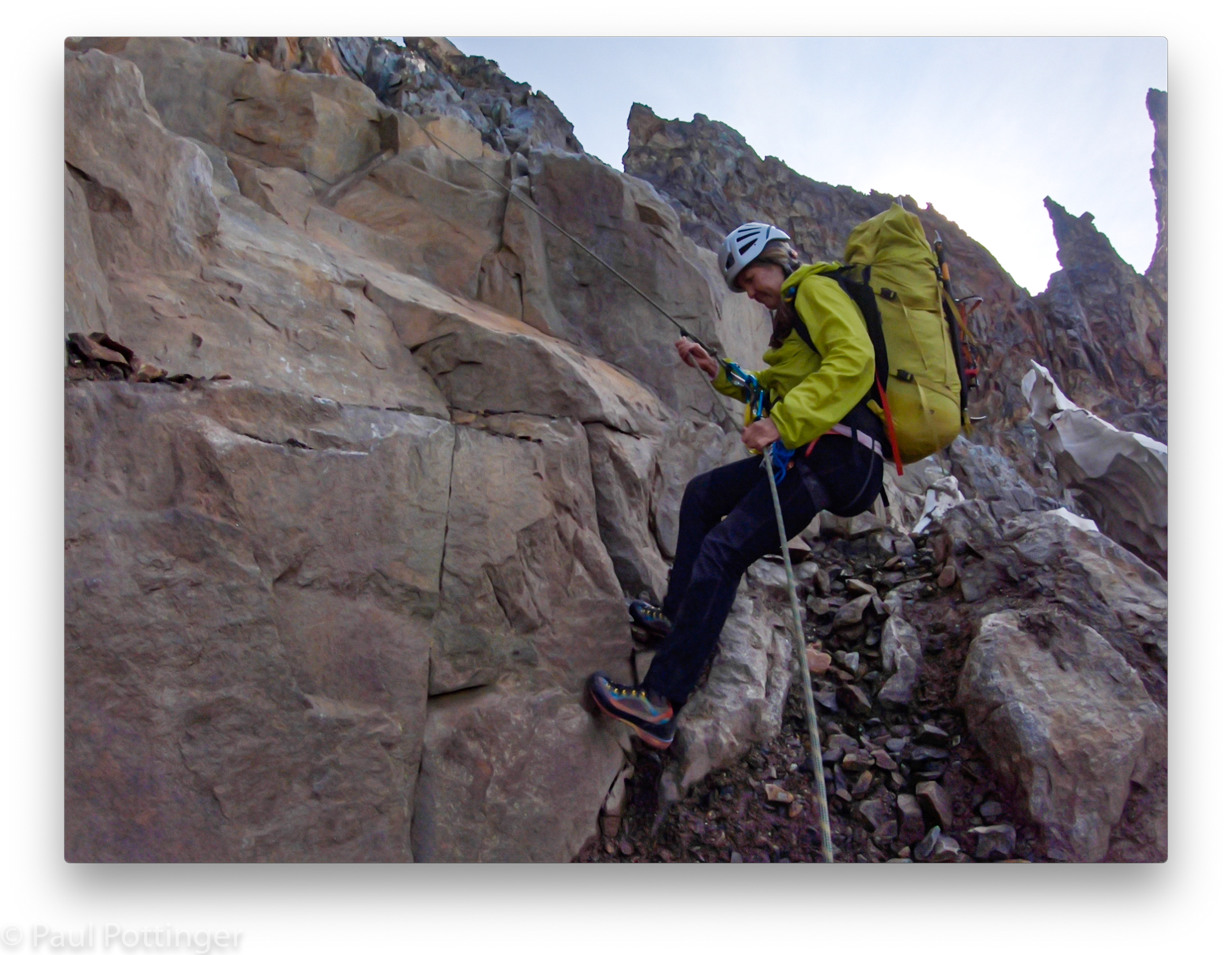
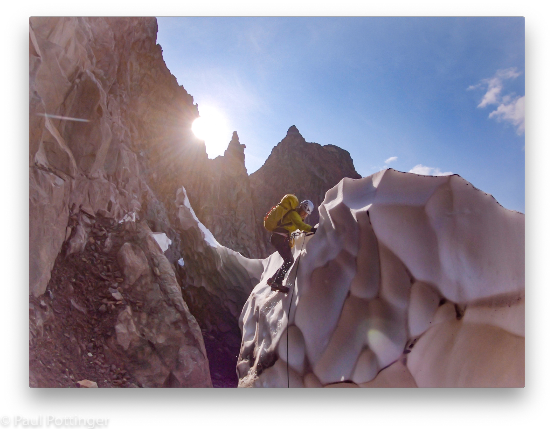
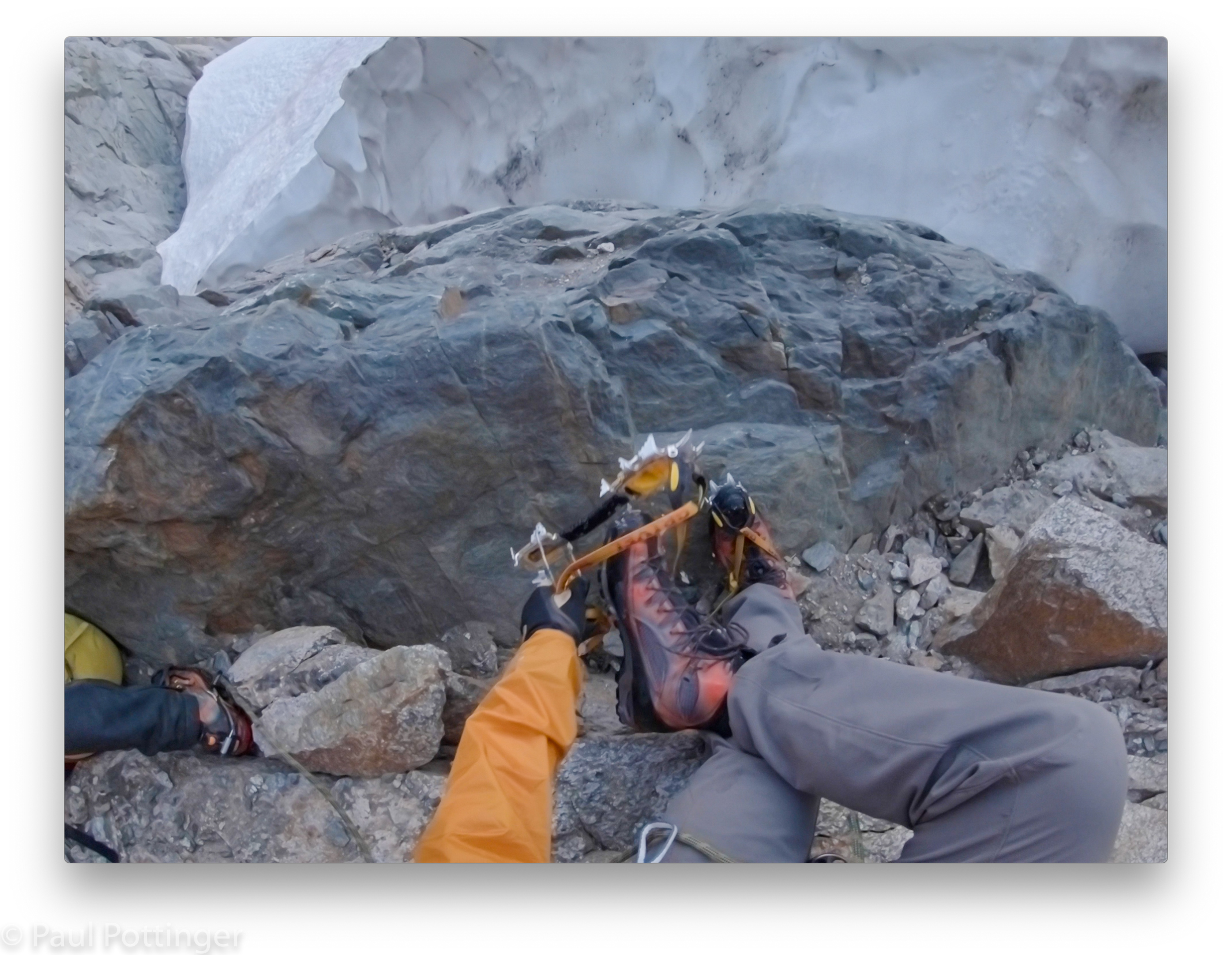
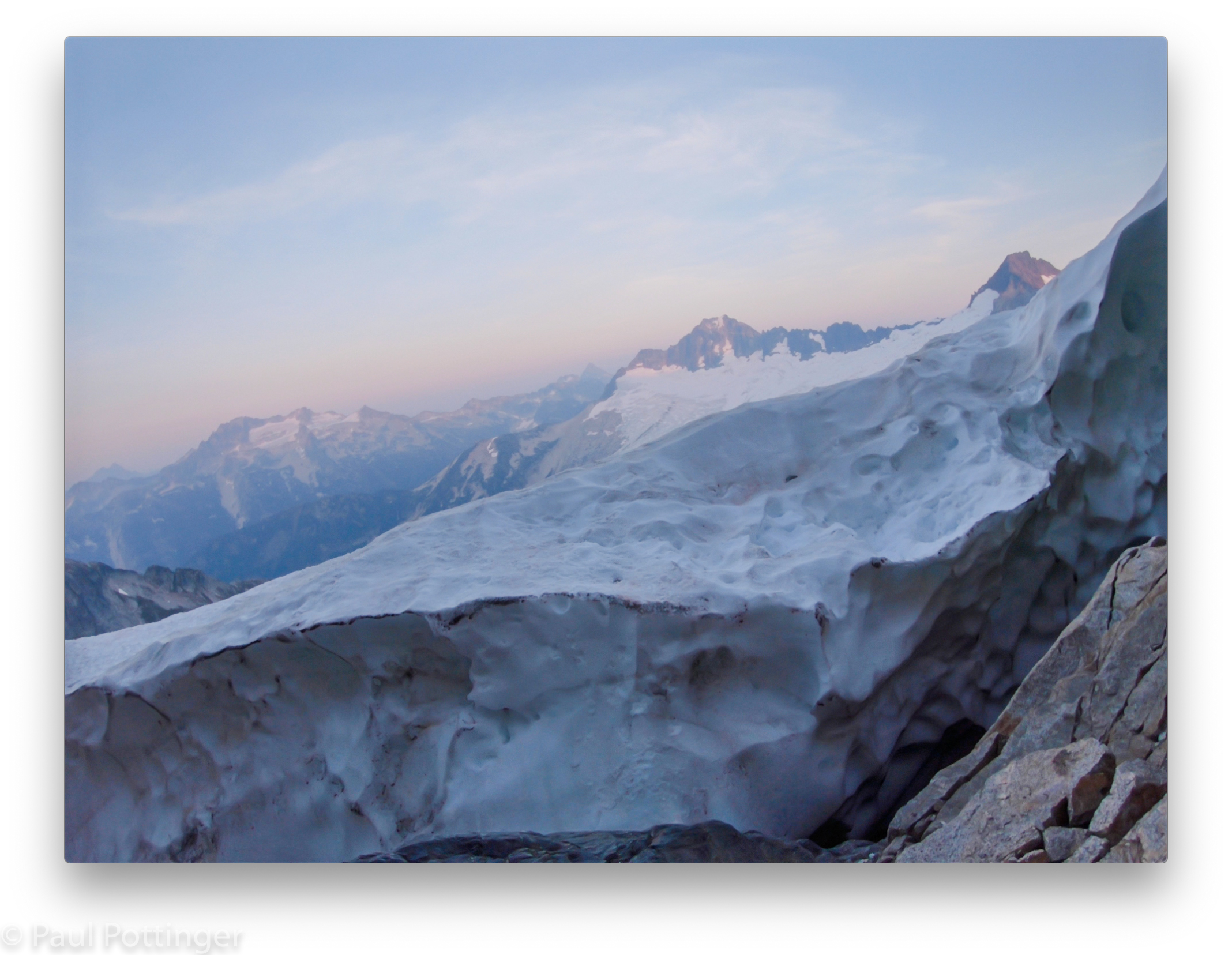
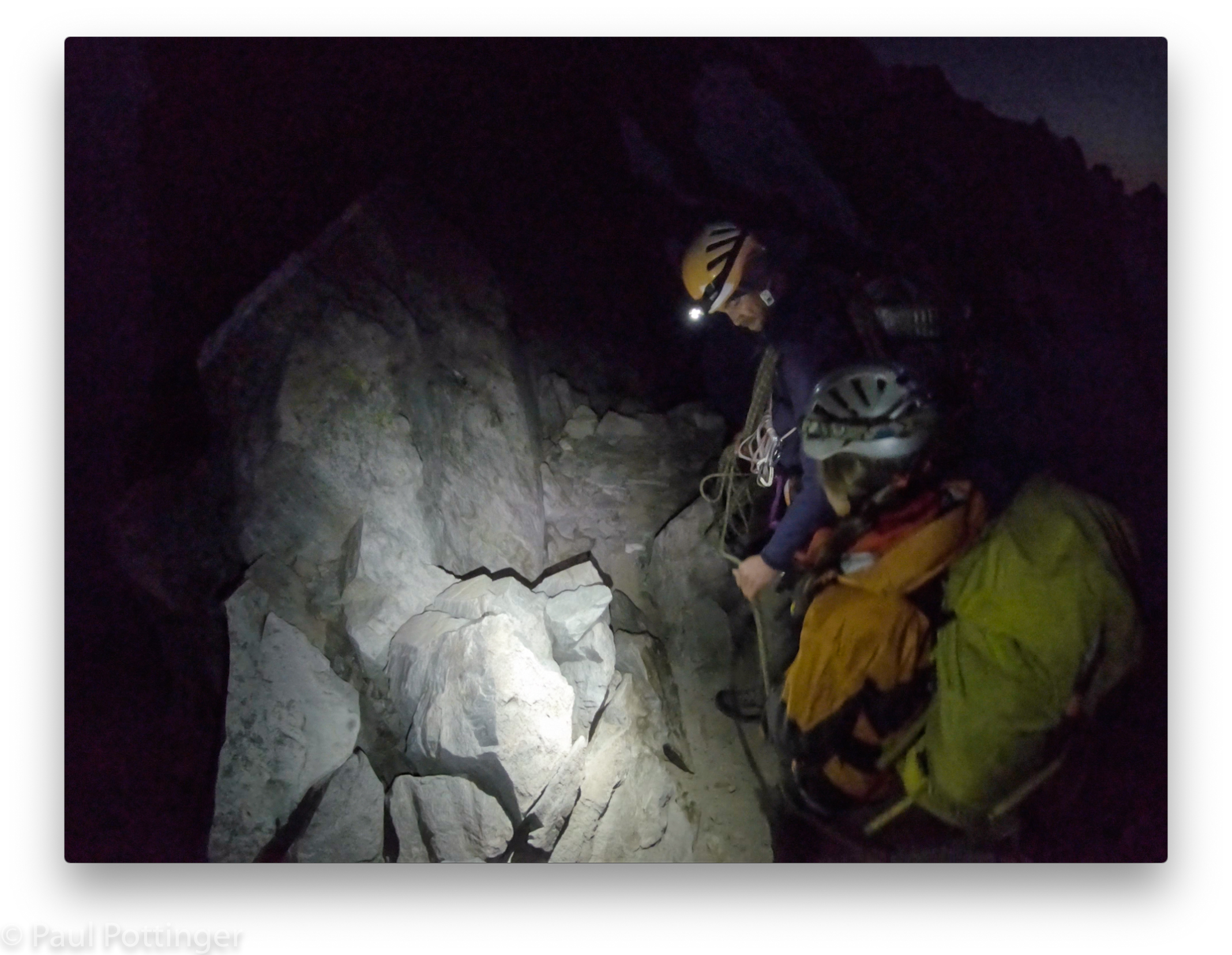
We ditched our packs and walked up the choss towards the small notch of a col, where the proper climbing would begin. I was eager to get to the notch so we could finally see the upper route, which had been difficult to discern from below. The notch offered a splendid view of the Boston Glacier far below, like an unseen or newly-discovered, pristine land, but the upper mountain was still mostly obscured by a jumble of dark granite. We stood on a small dirt path and got organized for the 5th class ahead by ditching our trekking poles and adjusting our rope system.
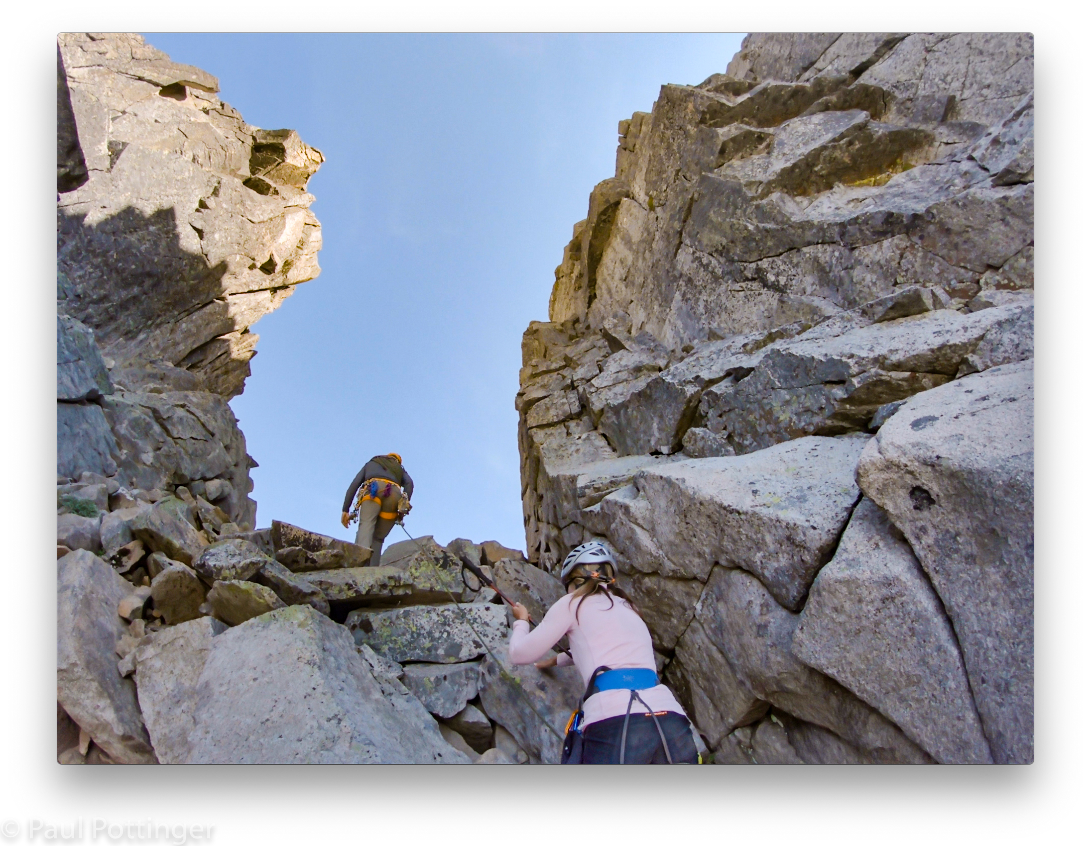
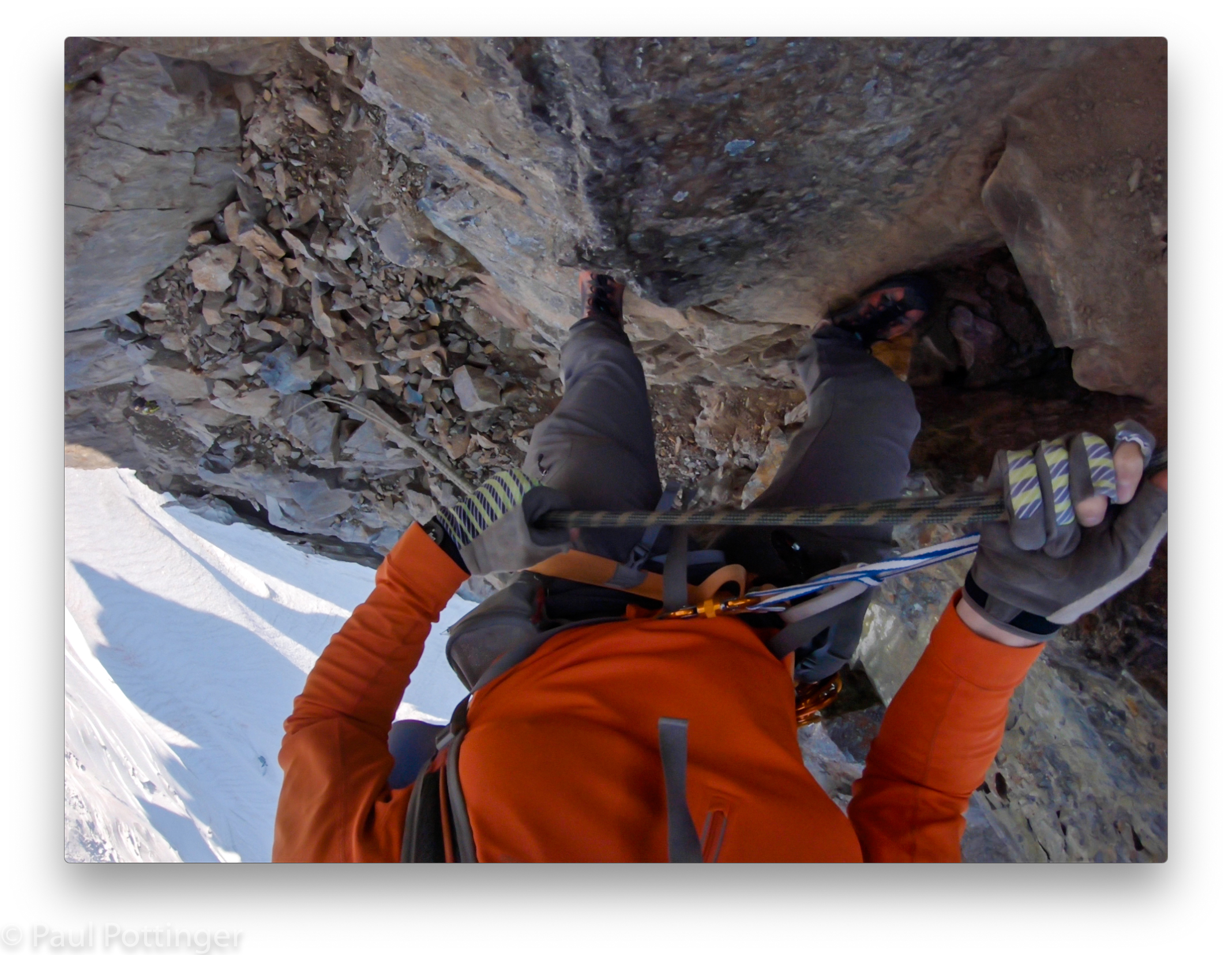
We put Justin on belay and he traversed out and around the bulge, out of sight. A few minutes later he called to us, and we started after him simultaneously, separated from each other by an arm span of rope.
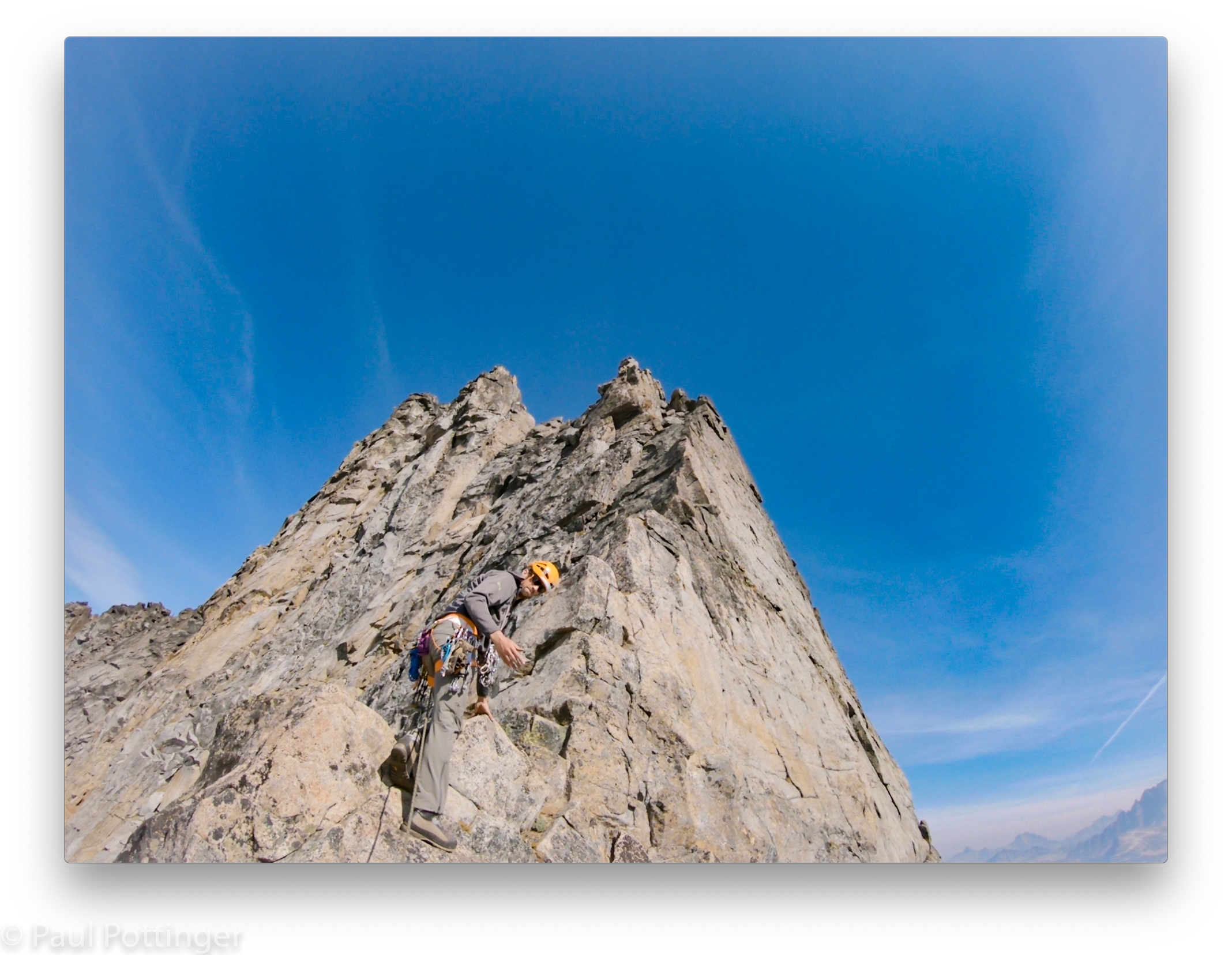
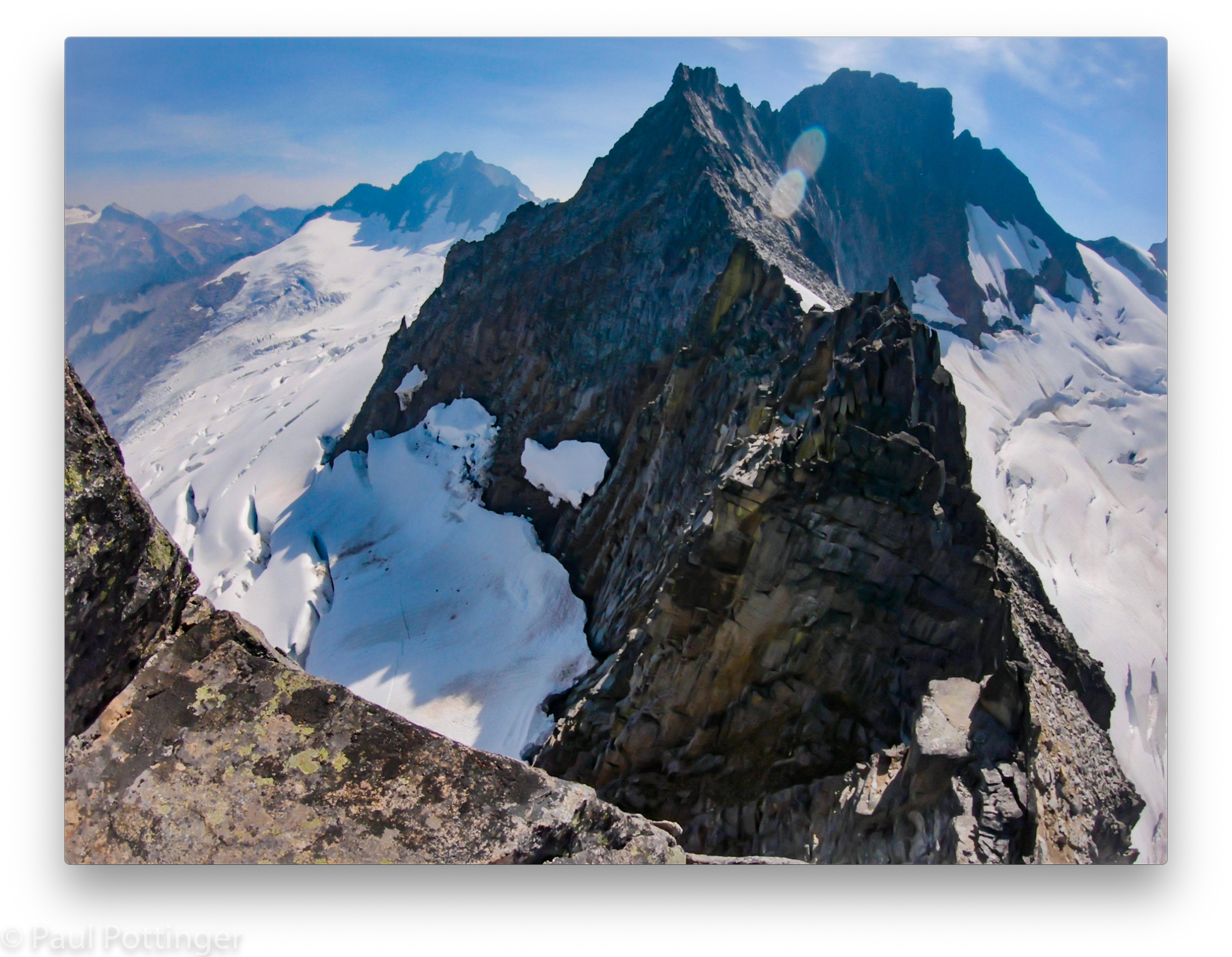
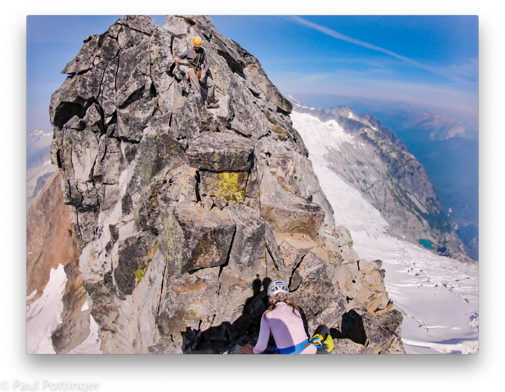
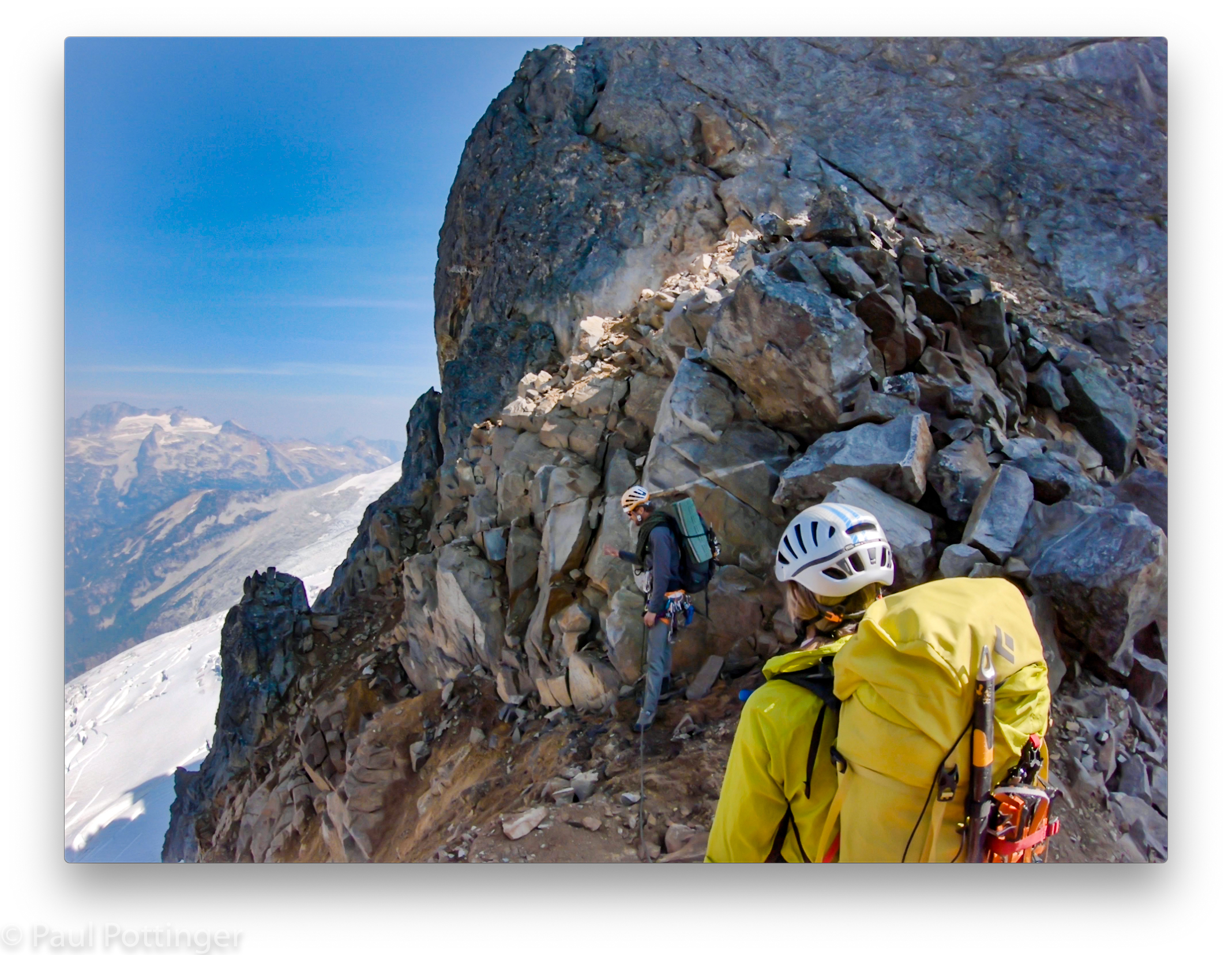
Around the corner, there it was, startlingly close: the east face of Sharkfin Tower. A dagger of clean, impossibly smooth granite cutting almost vertically into the unbroken blue sky, emerging from the pristine white glacier like a fang. Not one ledge or crack system interrupted its descent hundreds of feet to the bottom, where a crevasse opened into bottomless black shadow. It was large, steep, and intimidating. And I thought, 5.4 my ass.

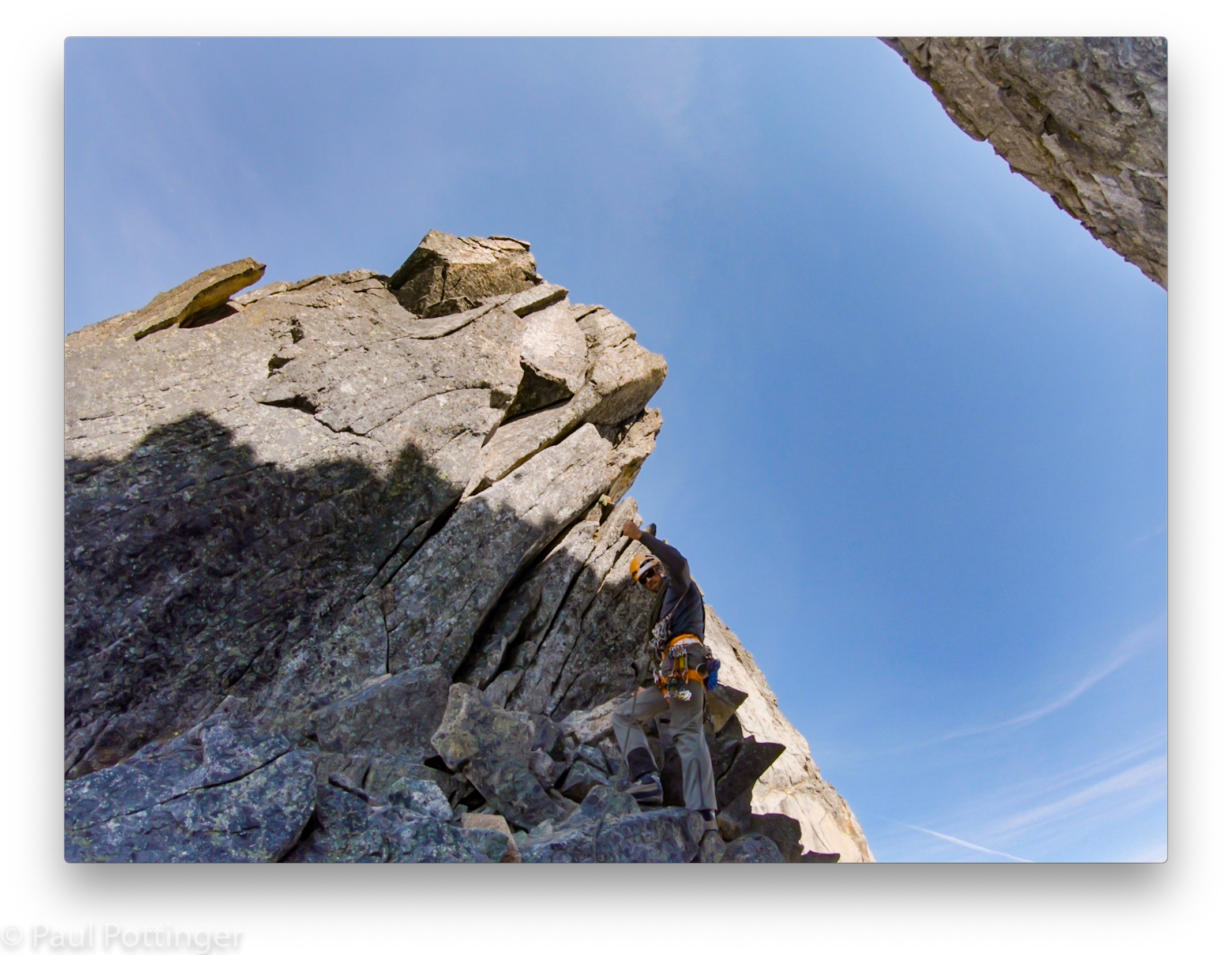
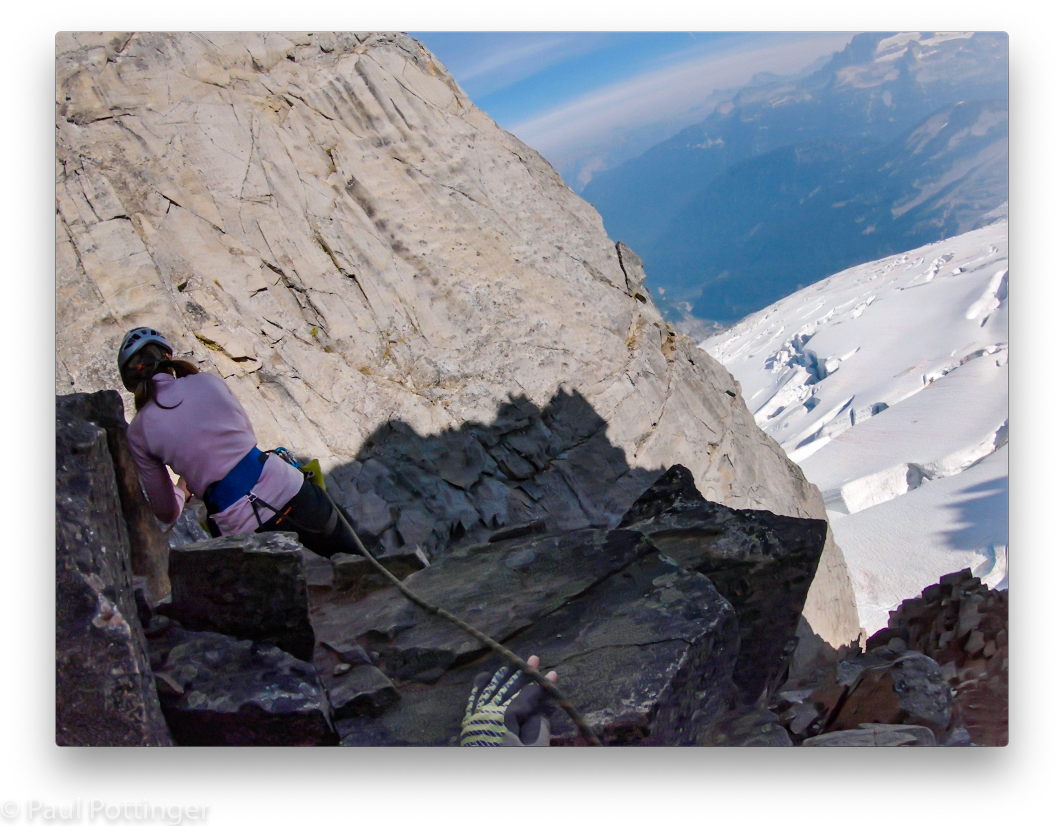

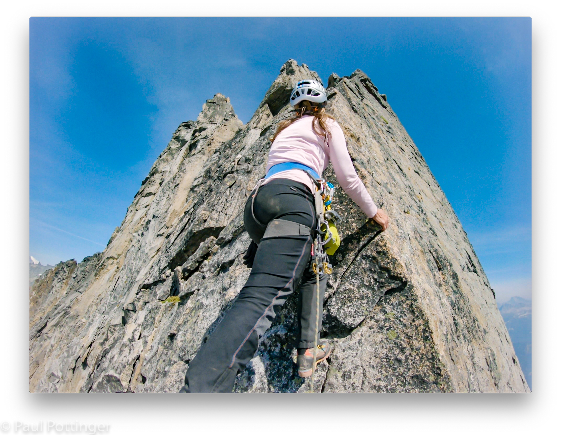
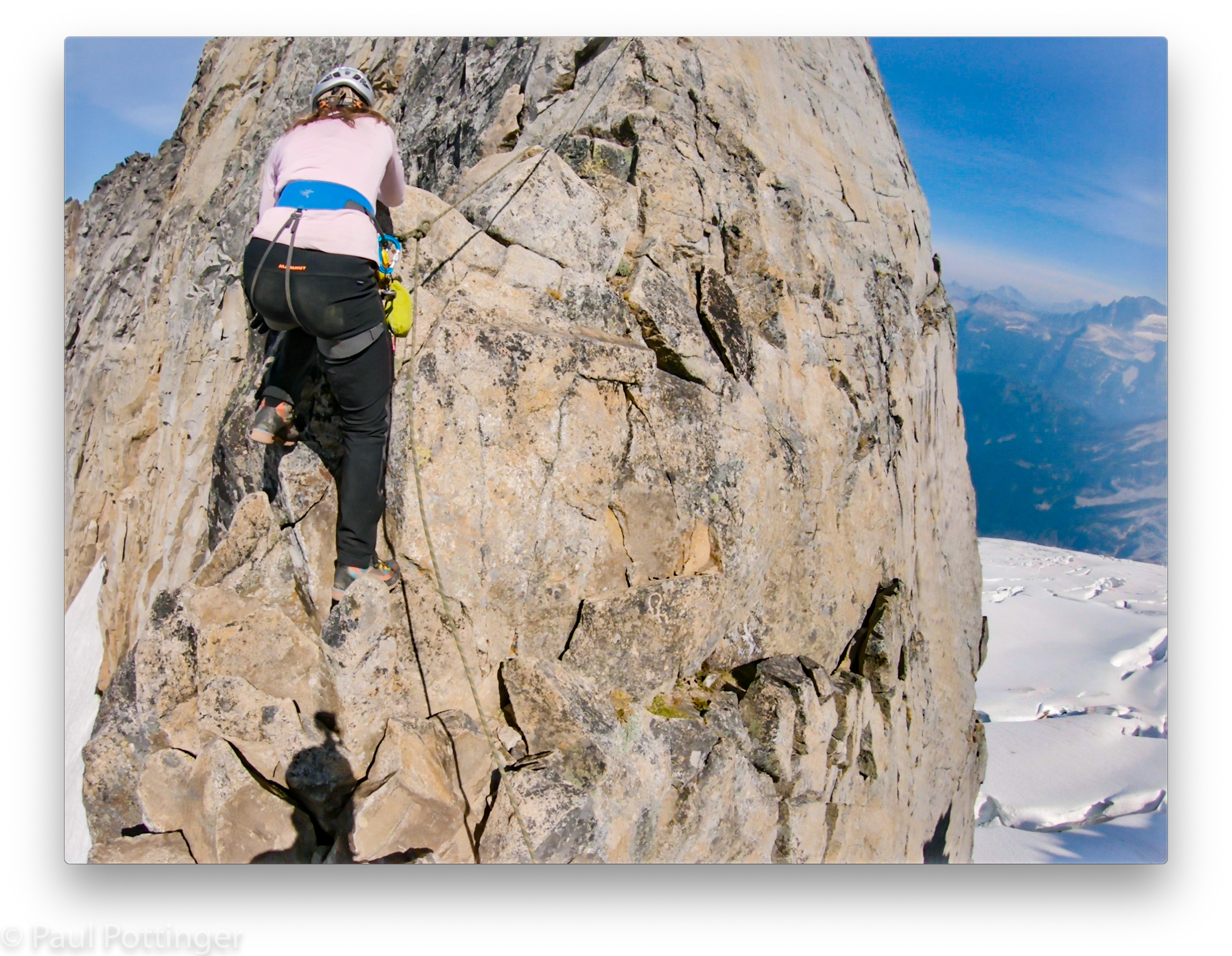
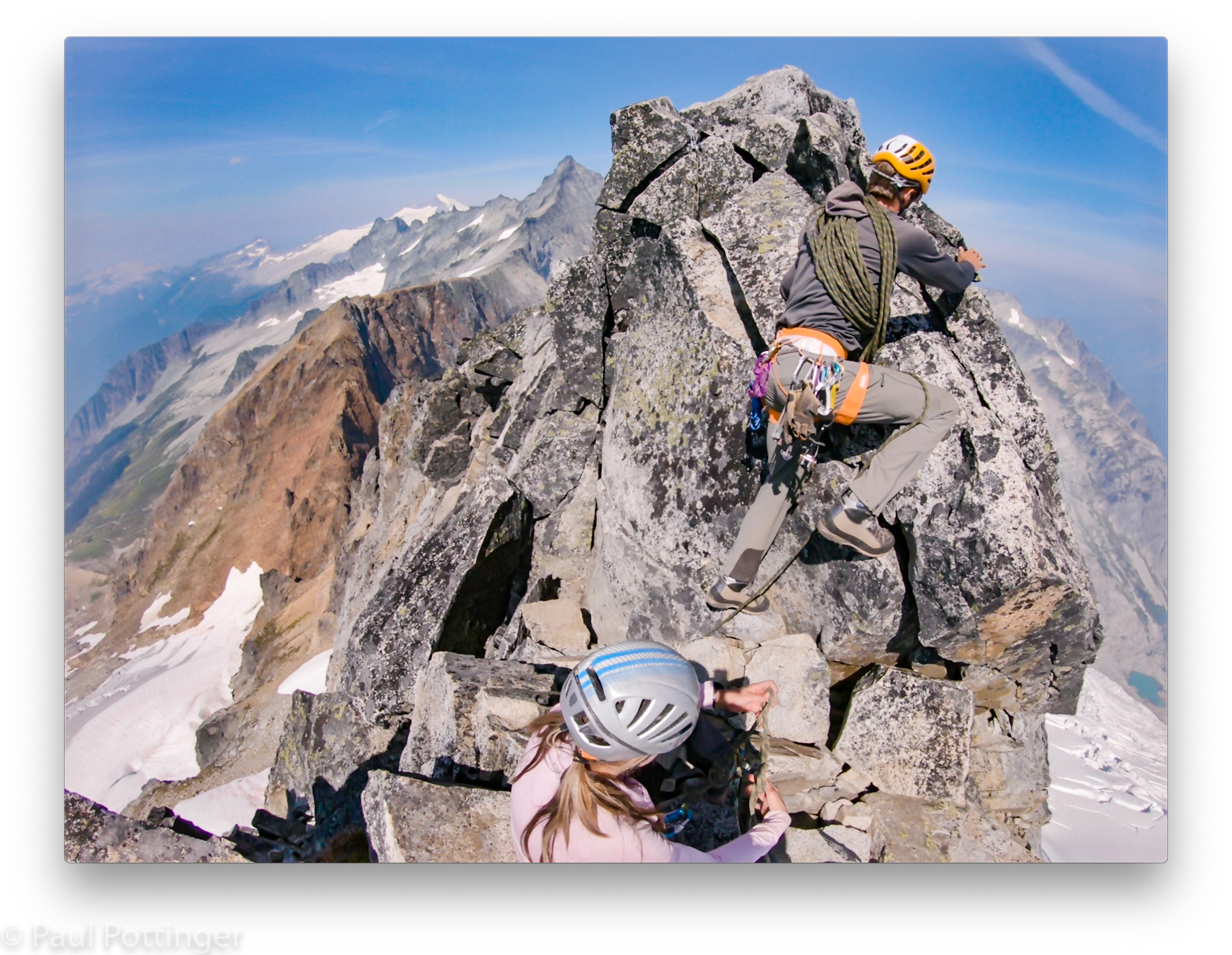
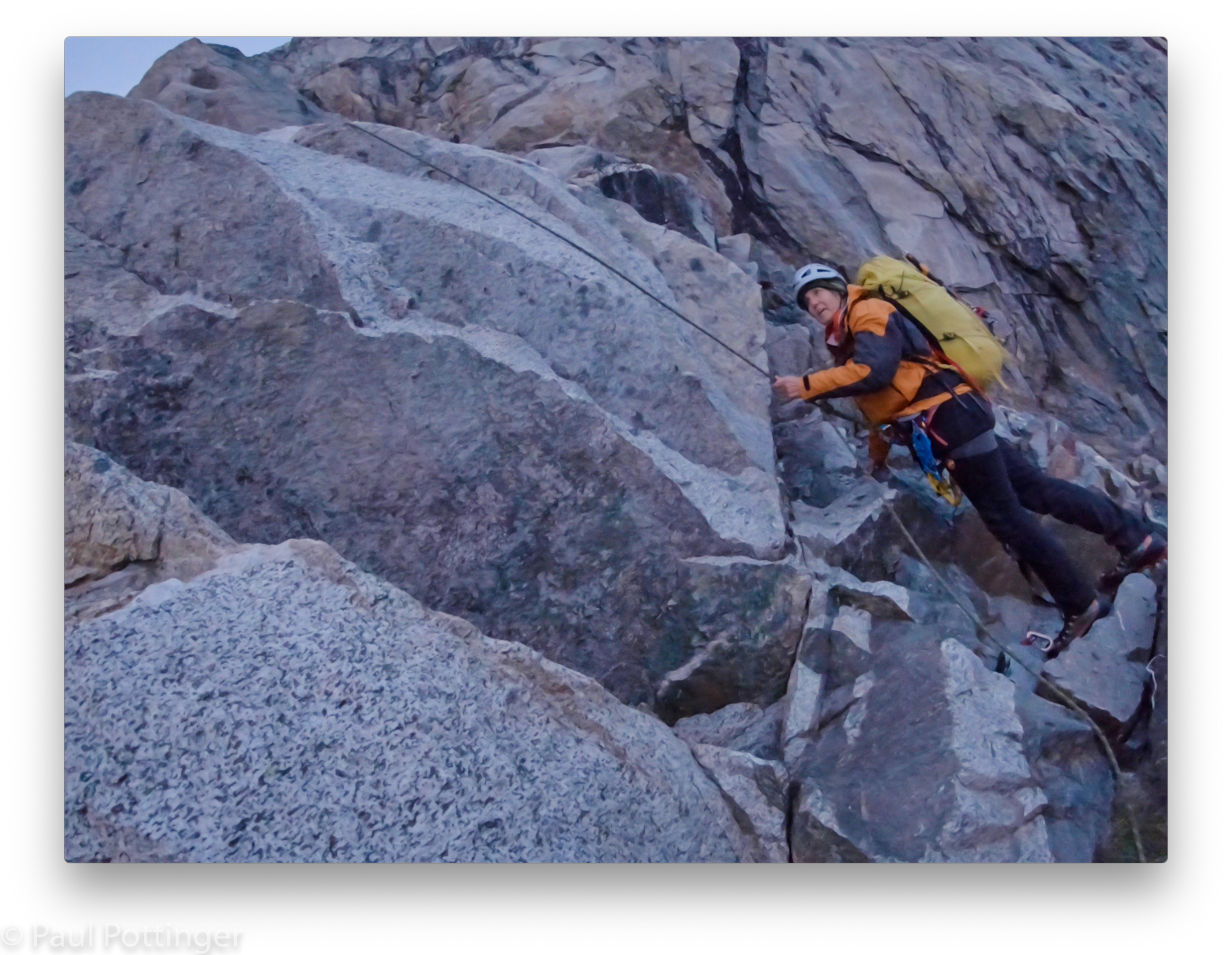
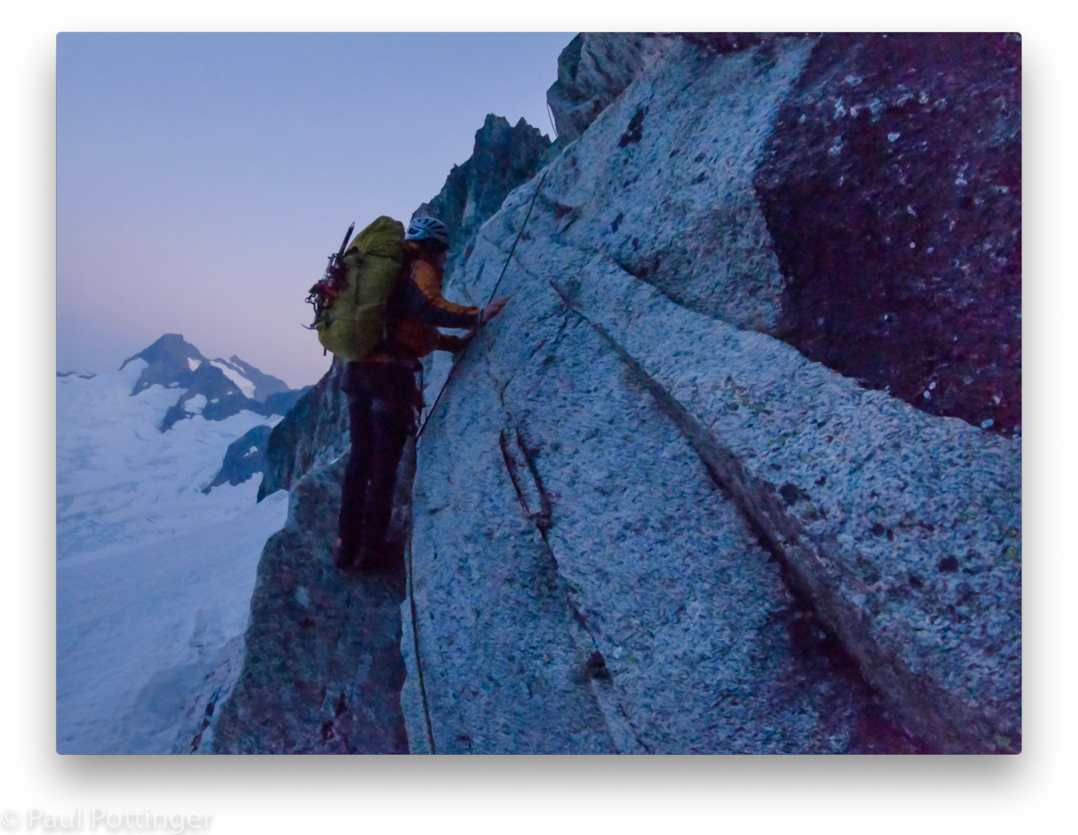
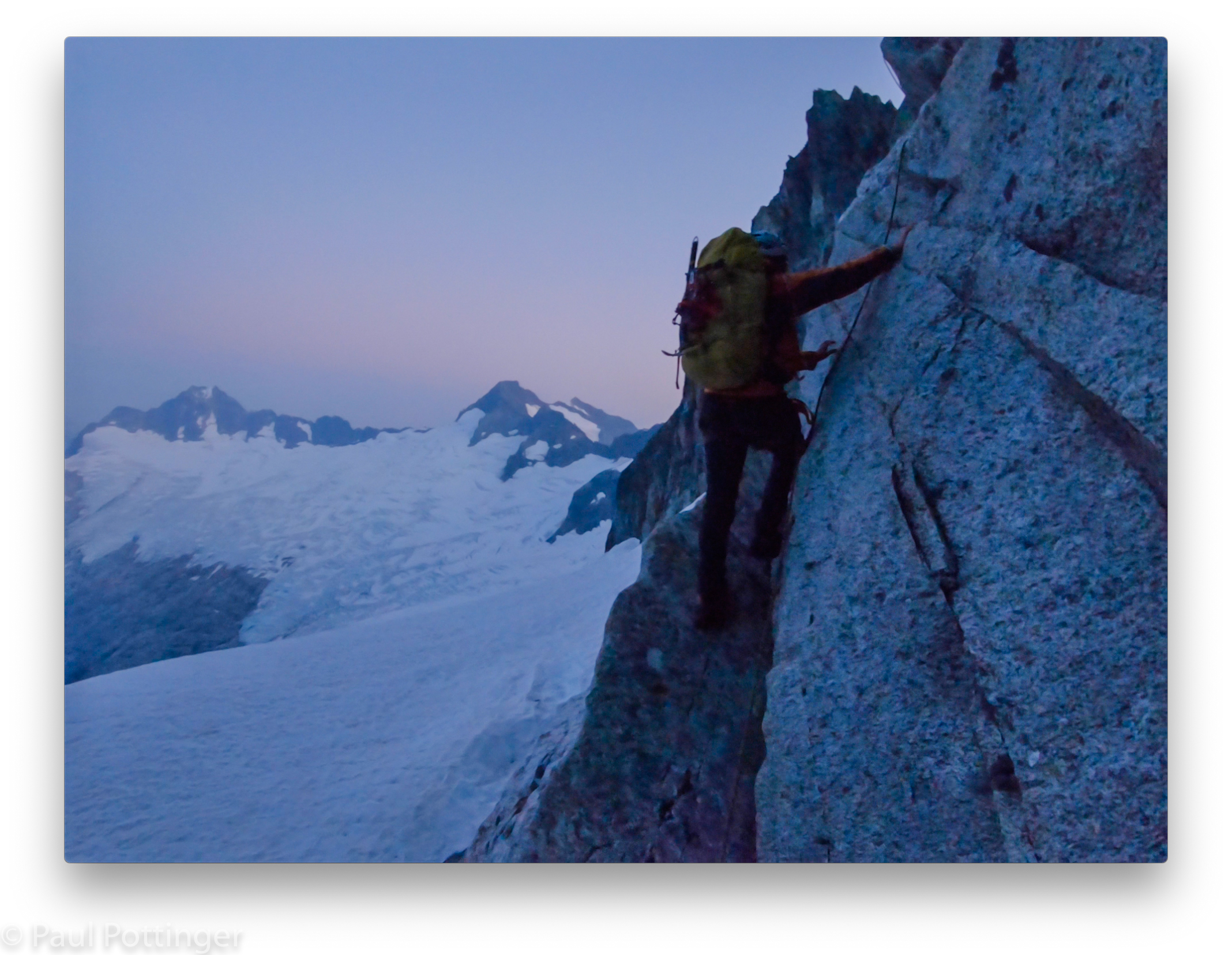
We climbed to Justin’s position on a small ridge and he pointed out the route above: Not via the face, but rather via the arete on climber’s left. It was intimidating enough, but a relief that we could straddle the edge of the mountain, one foot and hand on each side of the arete if we had to. Justin reassured us: Although the exposure was real, the moves themselves were no big deal. He pointed out the crux move of this pitch, about halfway to the belay station, and encouraged us to watch how he did it.
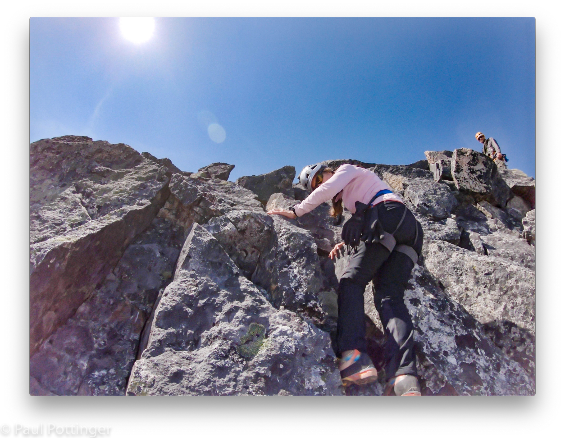
Well, the way he did it was the same as how he does everything up there: With his crazy long legs and gargantuan stride. “Oh that’s great,” said Ann. “How the hell am I supposed to match that?”
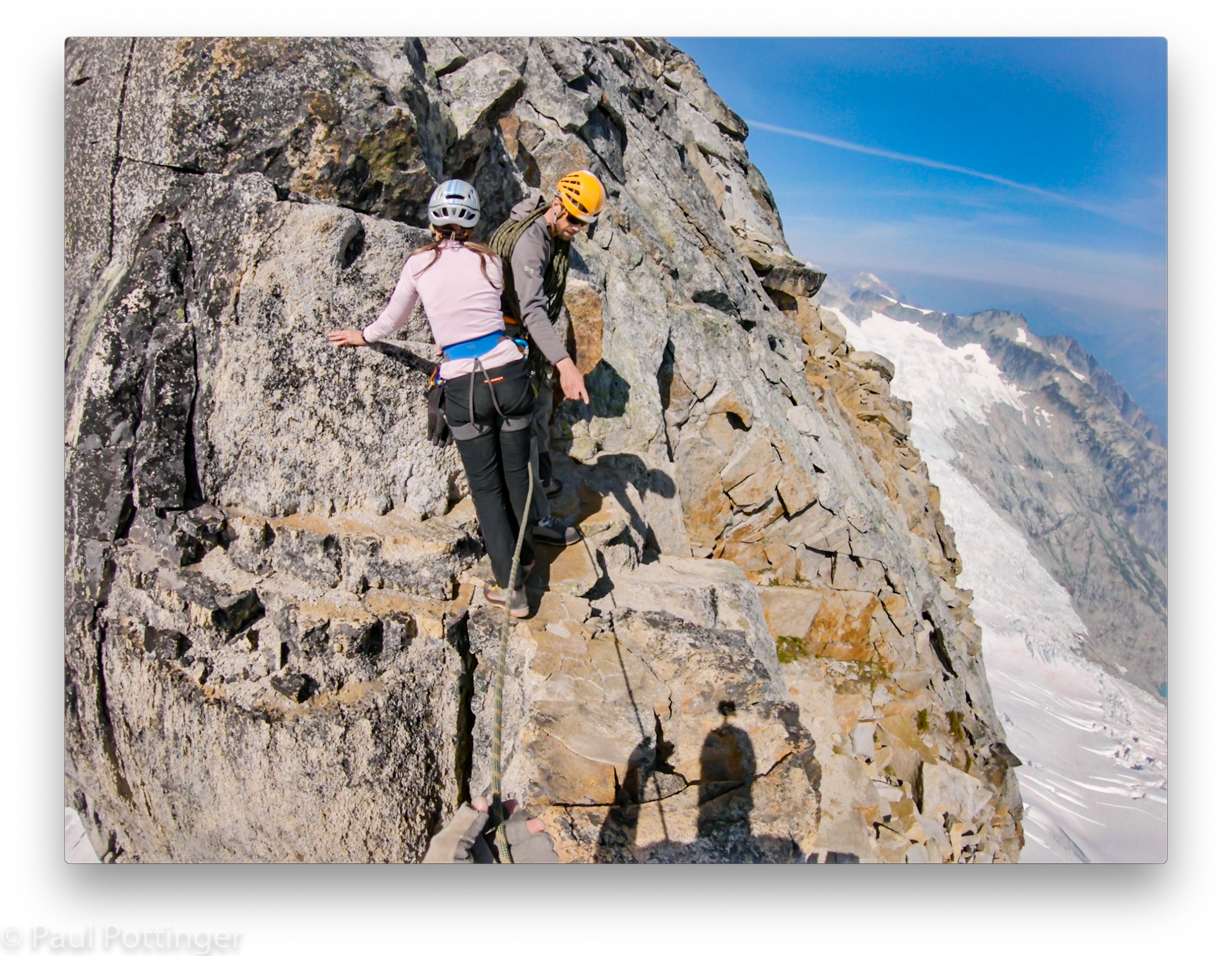
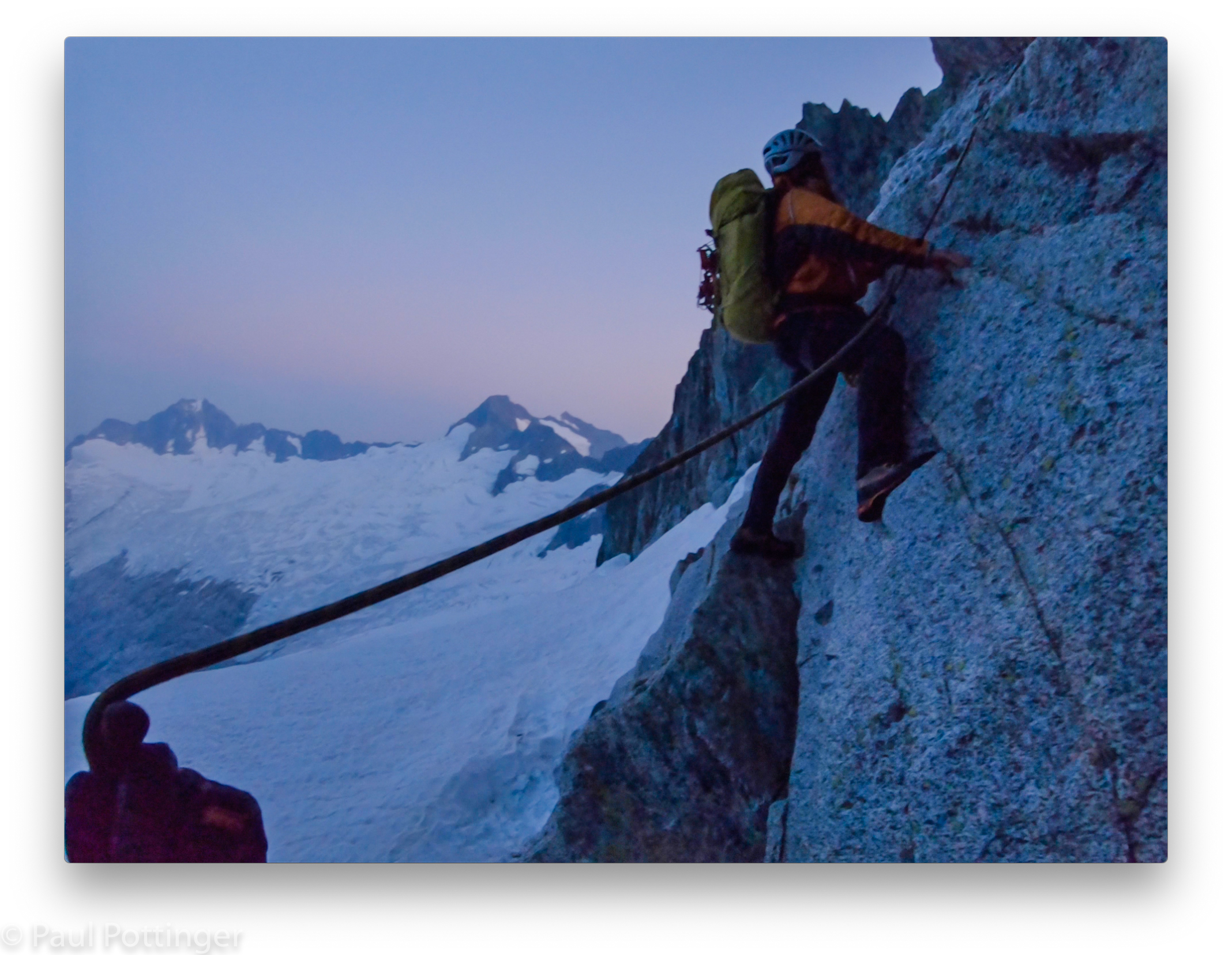
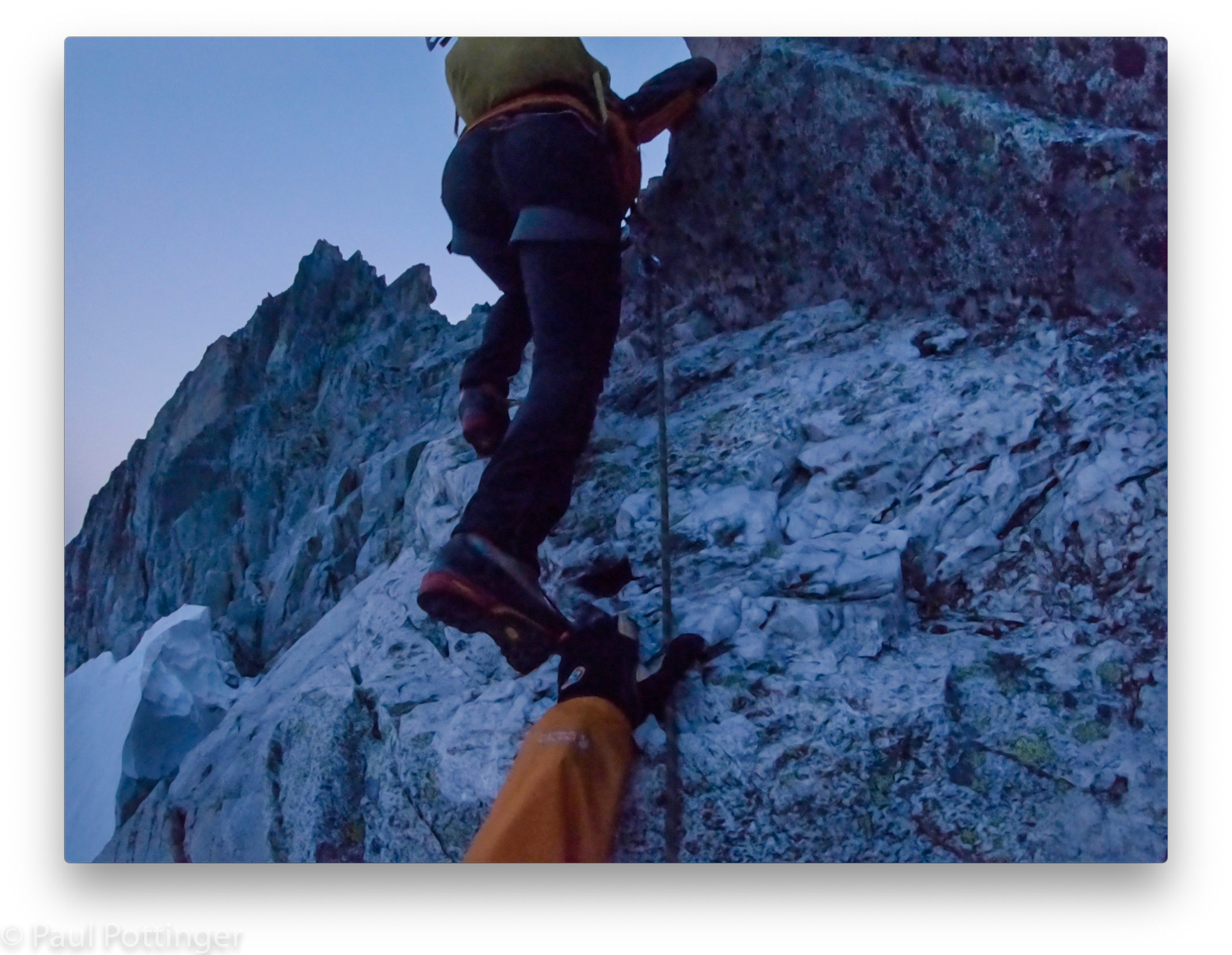
Somehow, she did. I watched her move like a ballerina in a well-choreographed dance. Each move considered in sequence… every position balanced… progress achieved move by move. Inevitably, but somehow surprisingly, the rope would come tight, and I realized that it was my turn to hustle and reproduce all the same moves. I may be a bad dancer but I can do this.
We spoke constantly, but most of our communication was non-verbal. I could see what she saw, and by following her gaze I understood the moves to come, even before she made them. She felt the weight of the rope on her harness, and without looking back could tell when I was past the challenging spots. Sometimes I pointed out footholds at my eye level that were hidden from her view, but most of my job was to move the rope away from her boots, thread it around horns when possible, and generally manage the slack. And to never, ever weight the line. We made a good team.


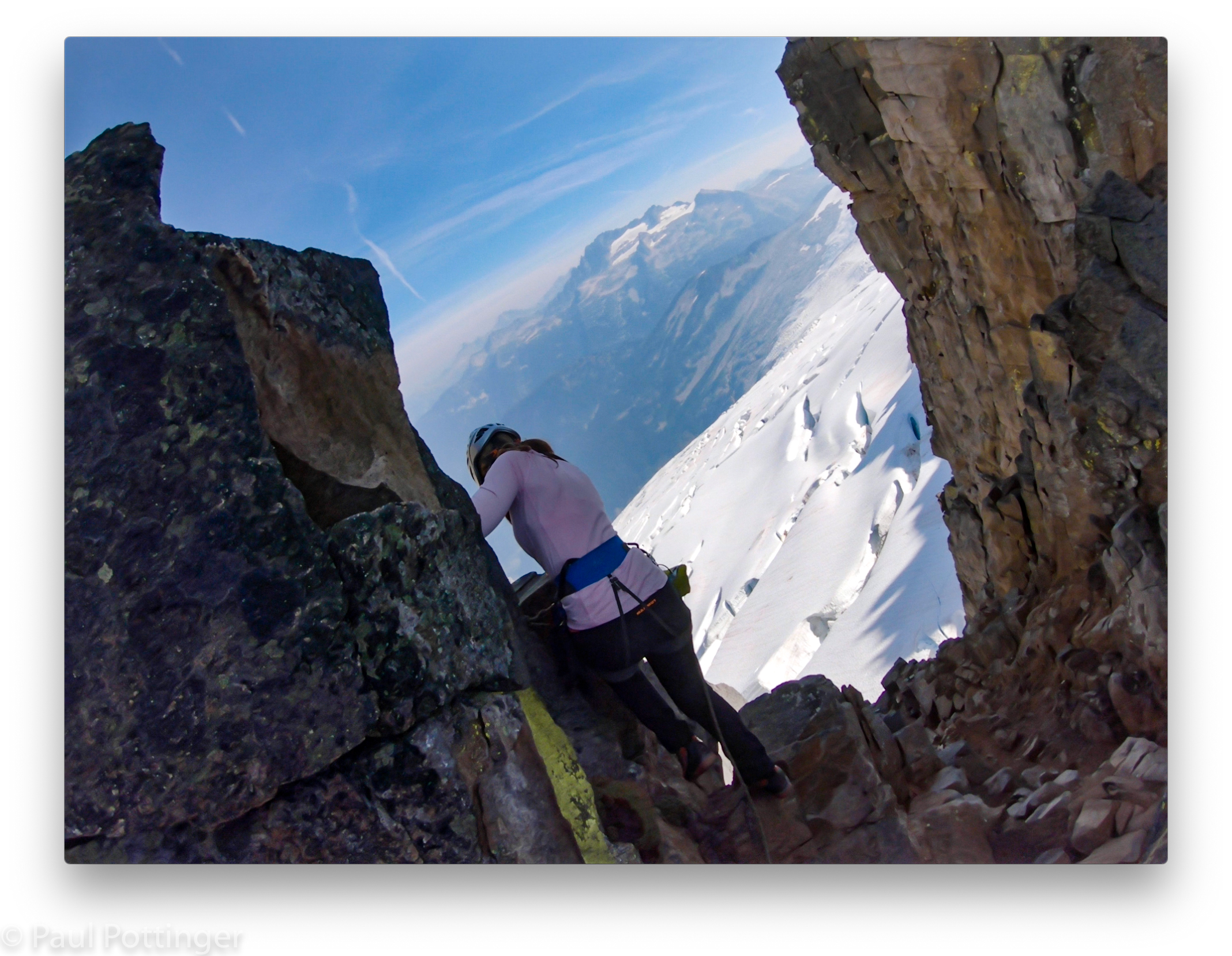
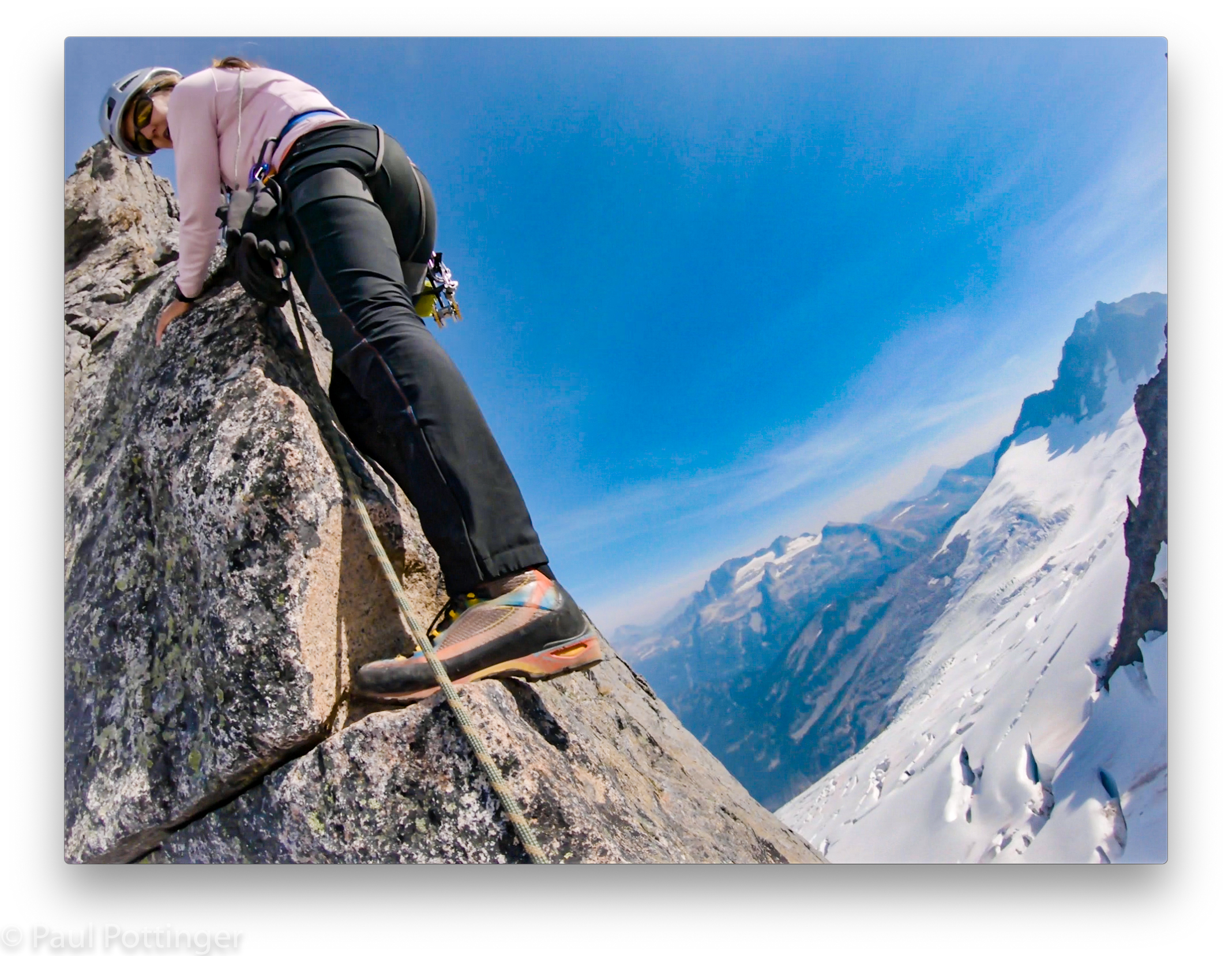
At the crux, Ann stepped out over the void and found a teeny, tiny toehold for her Trango boot. There was no way she could reach the next toehold in one step—it was at her shoulder height. Smearing was the only option. I draped the rope between us over a small horn in case she lost her foot grip and swung in a pendulum away from the arete. “Up rope!” She hollered. The rope went tight. And up she went, in a single smooth move that got her onto a proper standing ledge.
I looked down. There was nothing between her and a deep, dark crevasse on the Boston Glacier hundreds of feet below. “Good move. If you fall here you’ll go down that hole. I’m naming it Schnittker’s Sinister Sphincter.”
“Ha. No one wants to be in that sphincter….”
I followed her, using the same technique.

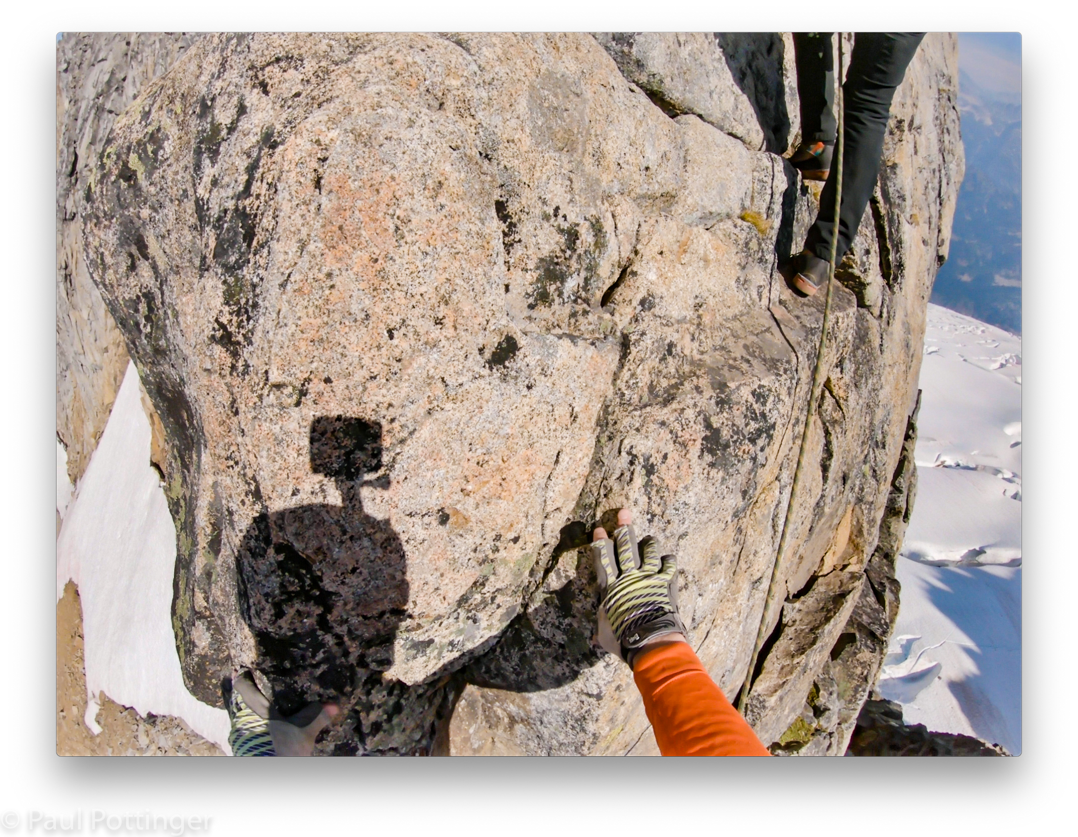

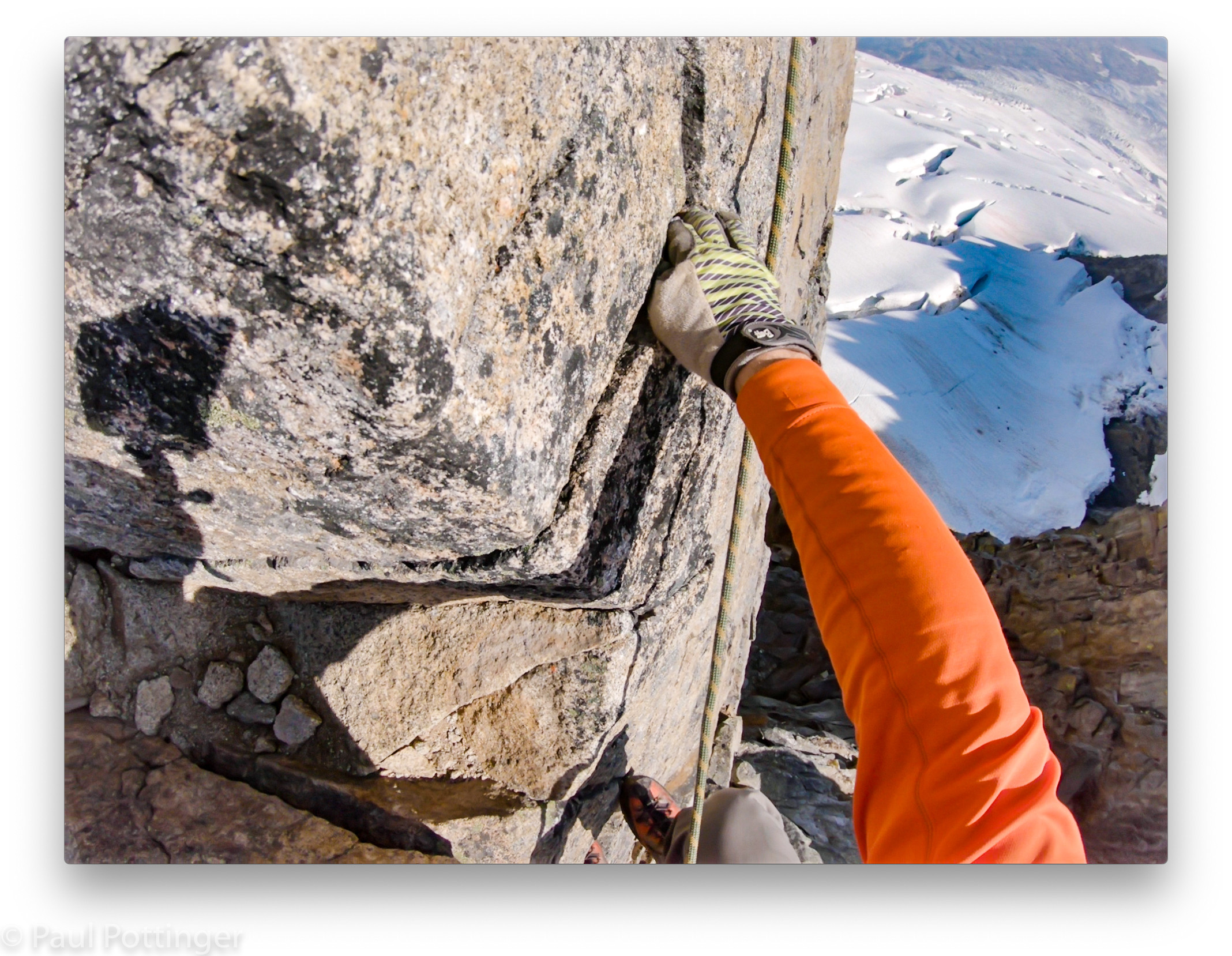
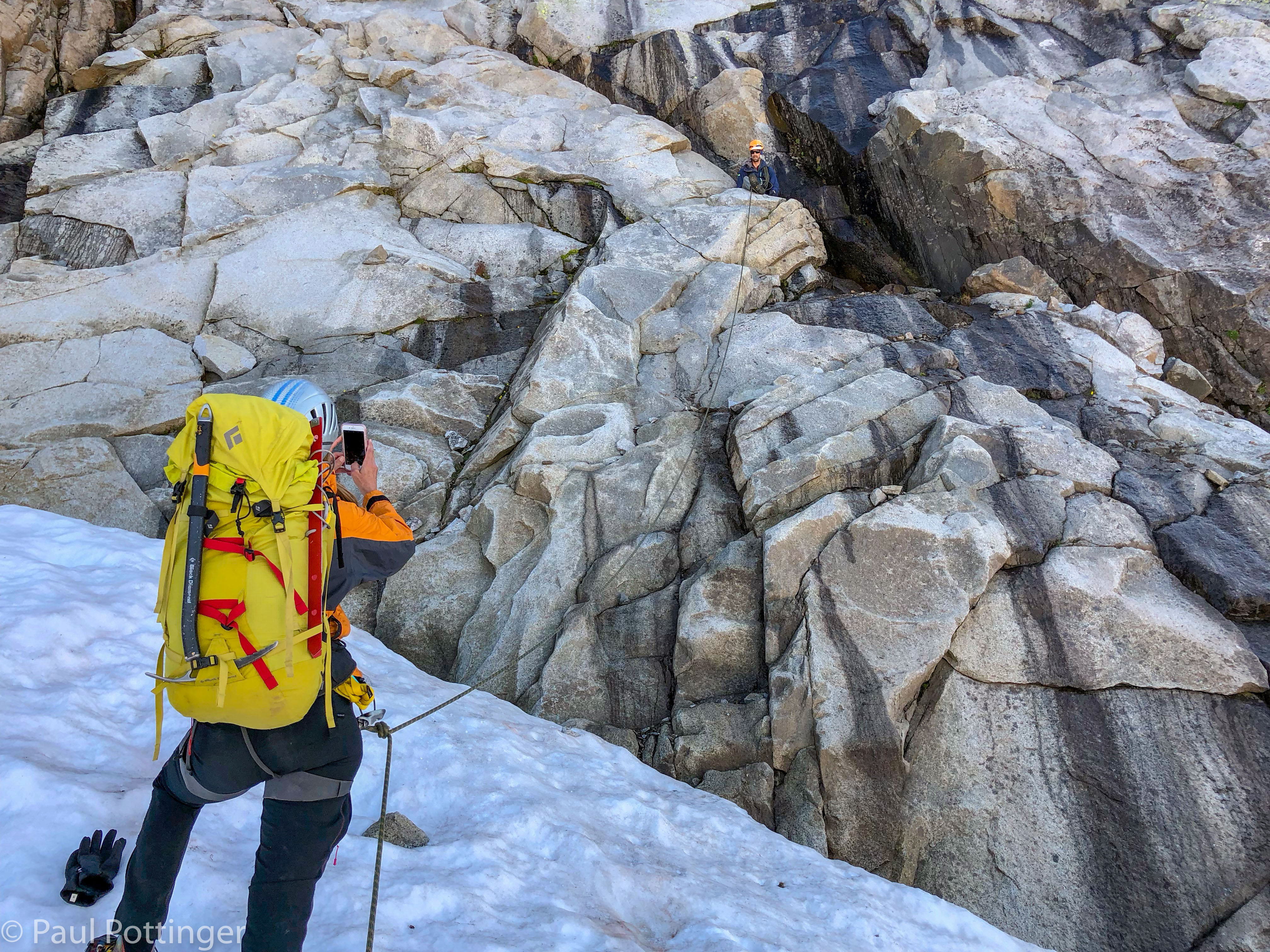
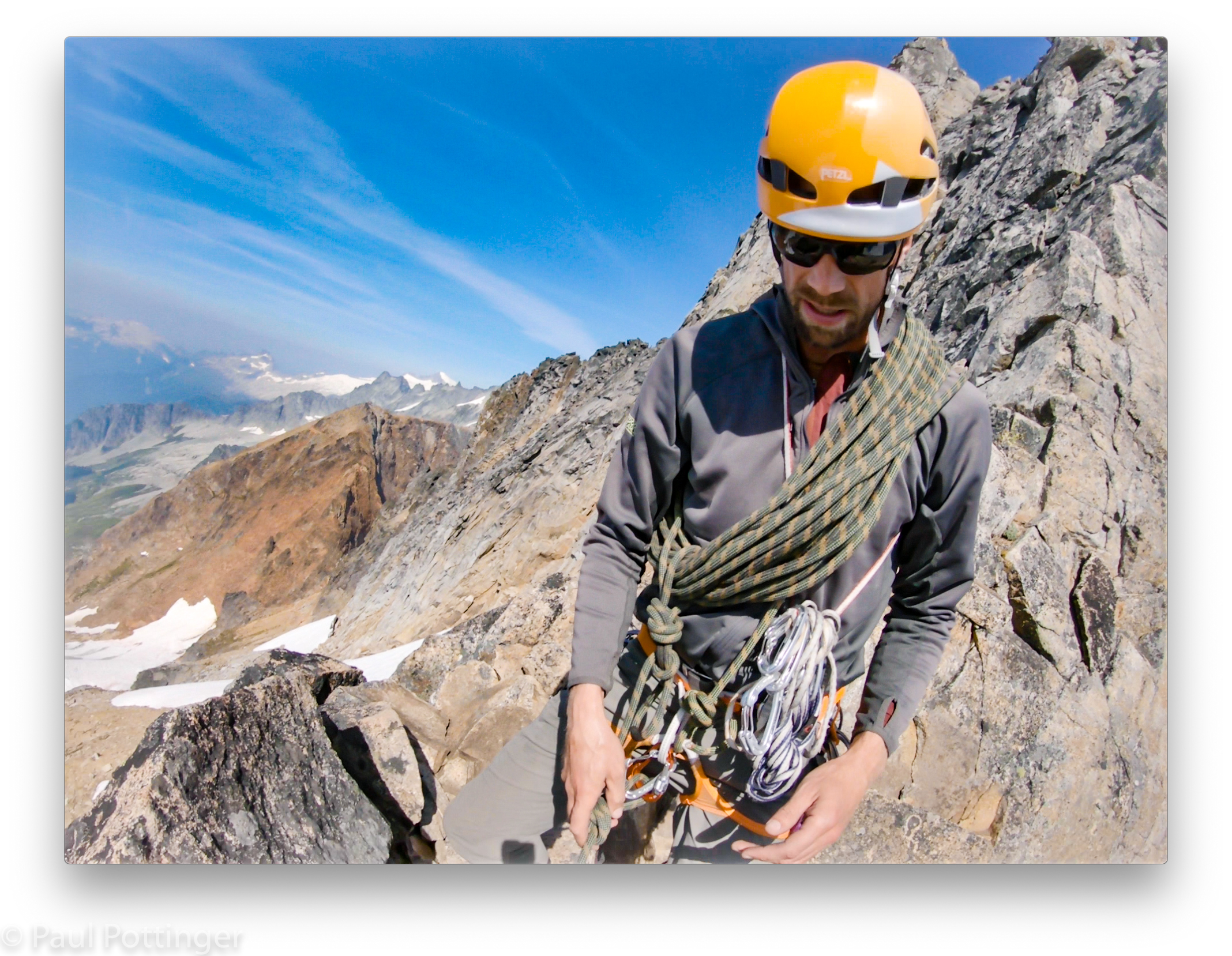
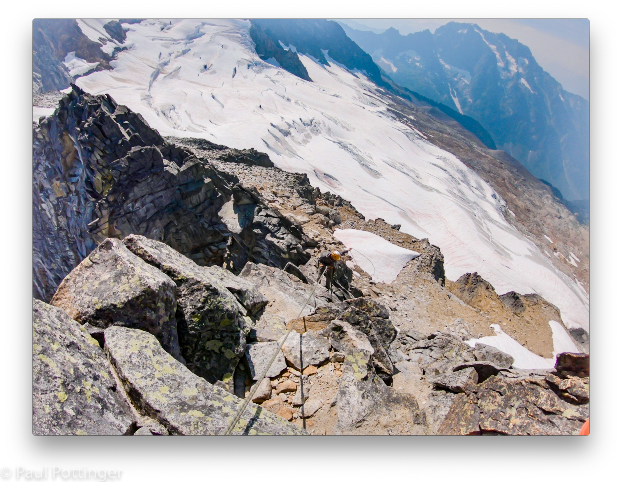
Soon we made it to the rap station. From there, the terrain moderated a bit, or at least there was less exposure for most of the remainder. In some sections, Justin placed traditional protection and our job was to clean it as we followed. Other times he protected us by draping the rope over horns and in crevices. This was exactly the way JR had protected me and Matt when climbing the Aiguille du Tour and Gouter Face in 2011. We always knew what kind of pro we were working with, and we respected it. We were safe.
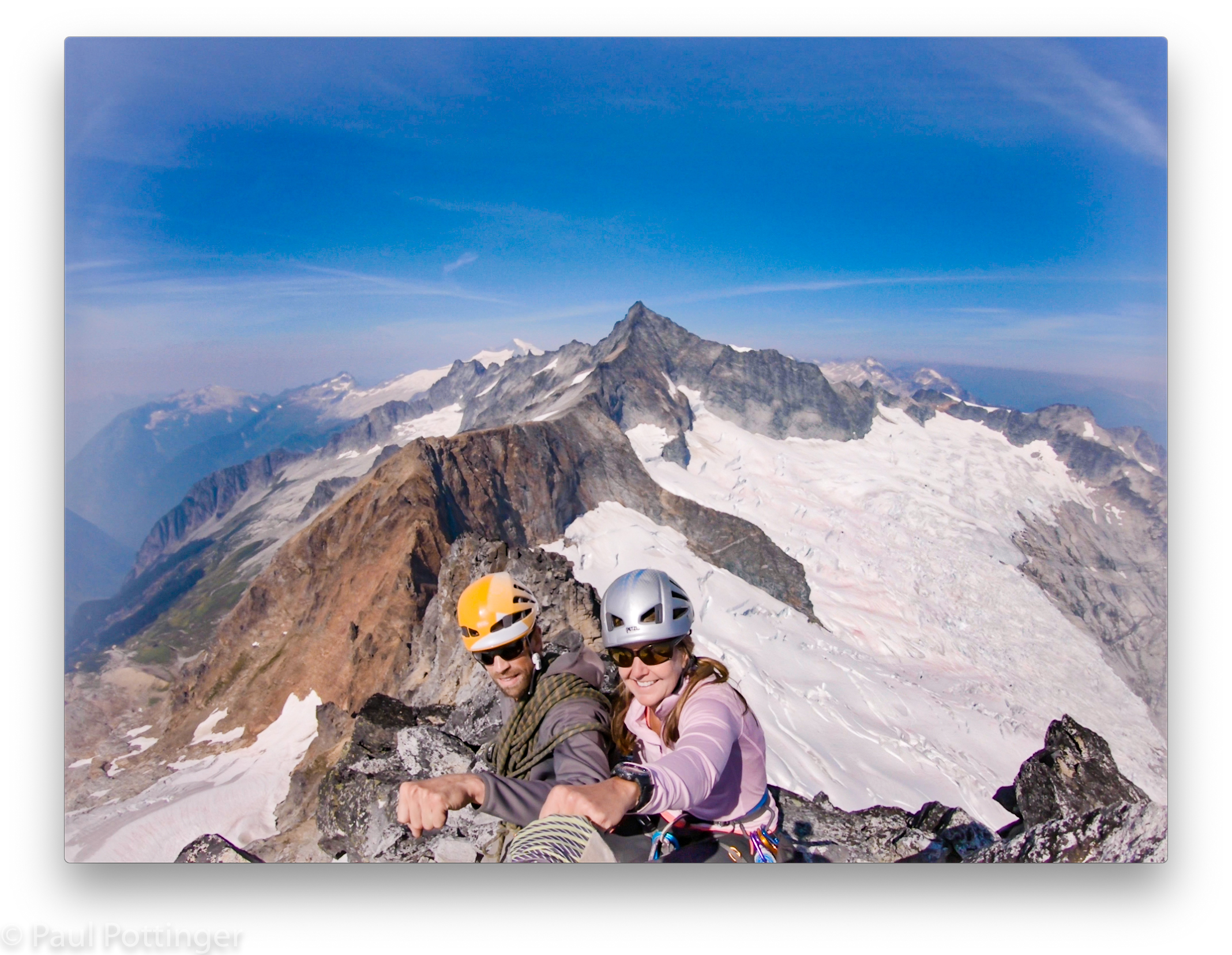
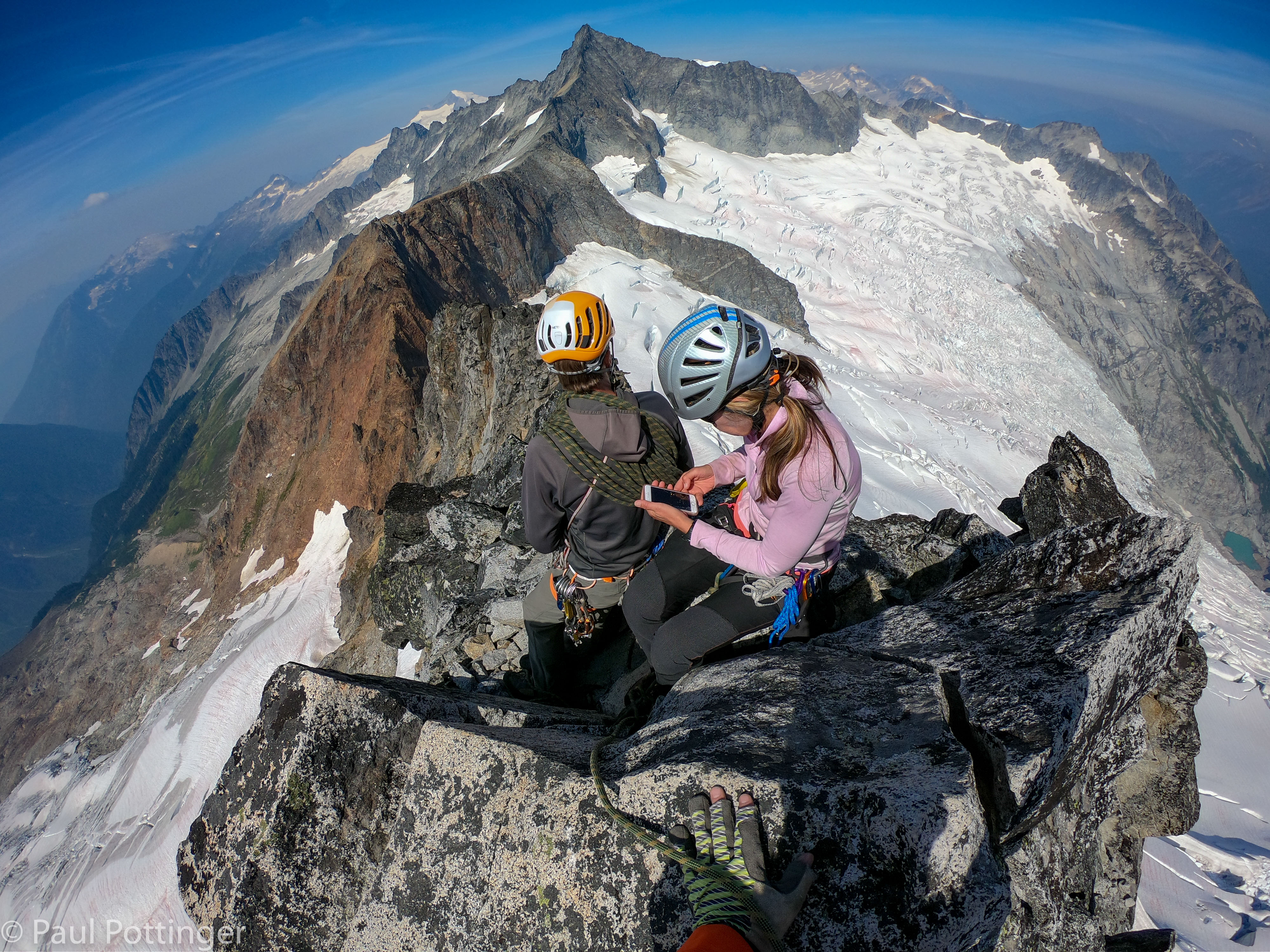
The summit was ours, and ours alone. Conditions were perfect. We had done it.


We descended in the reverse order, me picking my way down first thanks to Justin’s precise instructions, then Ann, then Justin who protected us all the way. 24 hours later, on the North Ridge, this experience on Sharkfin would pay nicely as we spent hour after hour simulclimbing in similar conditions, with even more exposure.
Most of the descent was fine, including a final rappel… although there was one tricky move near the bottom, just above the station, where a big step coincided with a shift in the fall line towards the East Face. Justin made sure I saw this coming, and it was no problem. But, somehow, Ann took a wrong step here during her rap and pendulumed out over the face, slamming her right side against the granite, exactly where she had injured herself in the Rockies a few days before. We joked about her trying to go down that sinister sphincter, the crevasse yawning hundreds of feet below. She righted herself and traversed back to us. She didn’t complain—Ann never complains—but I thought, Damn that has to hurt.

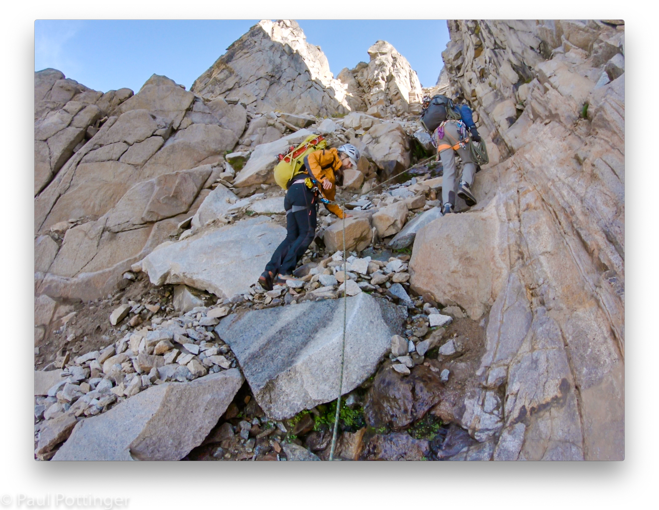
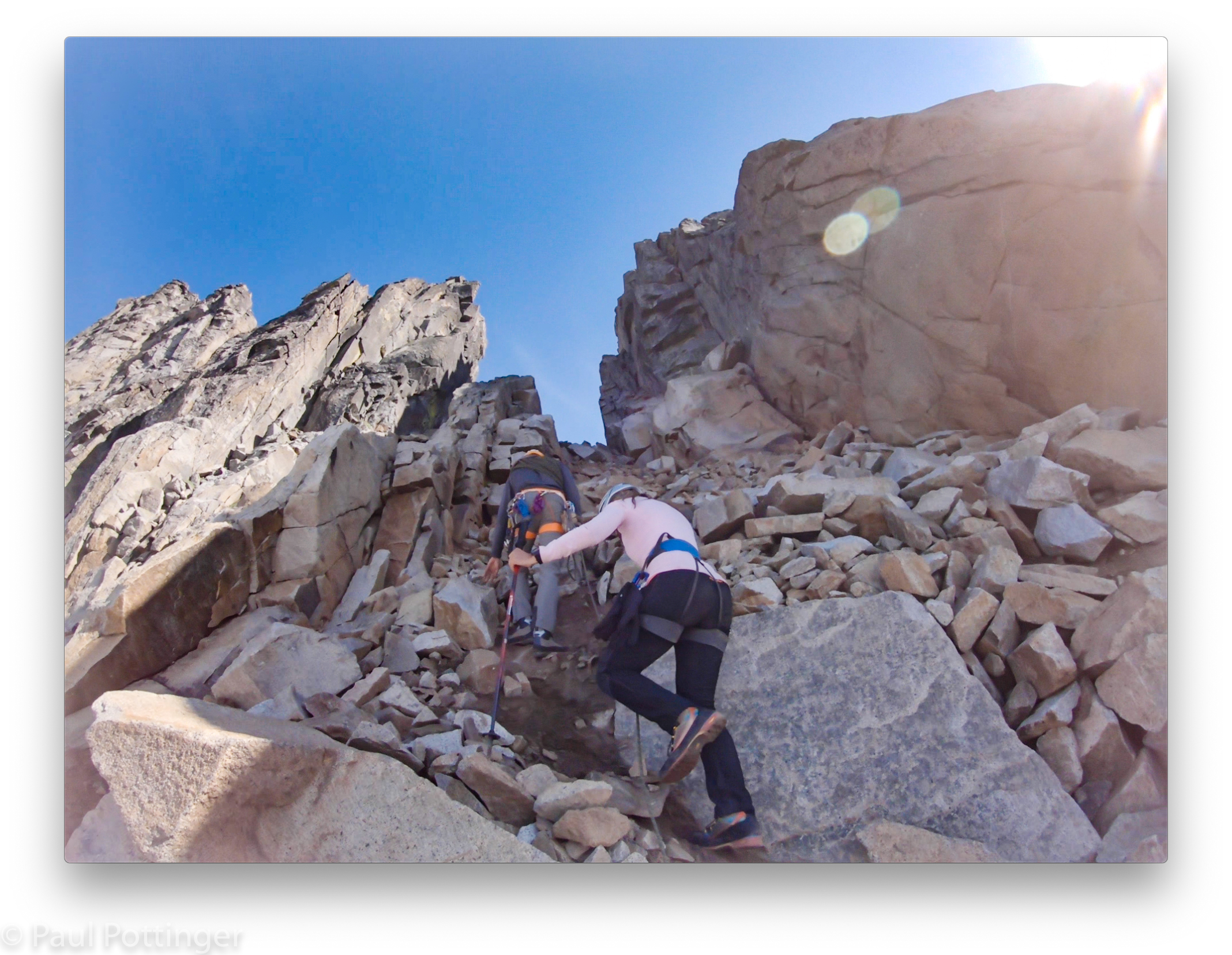
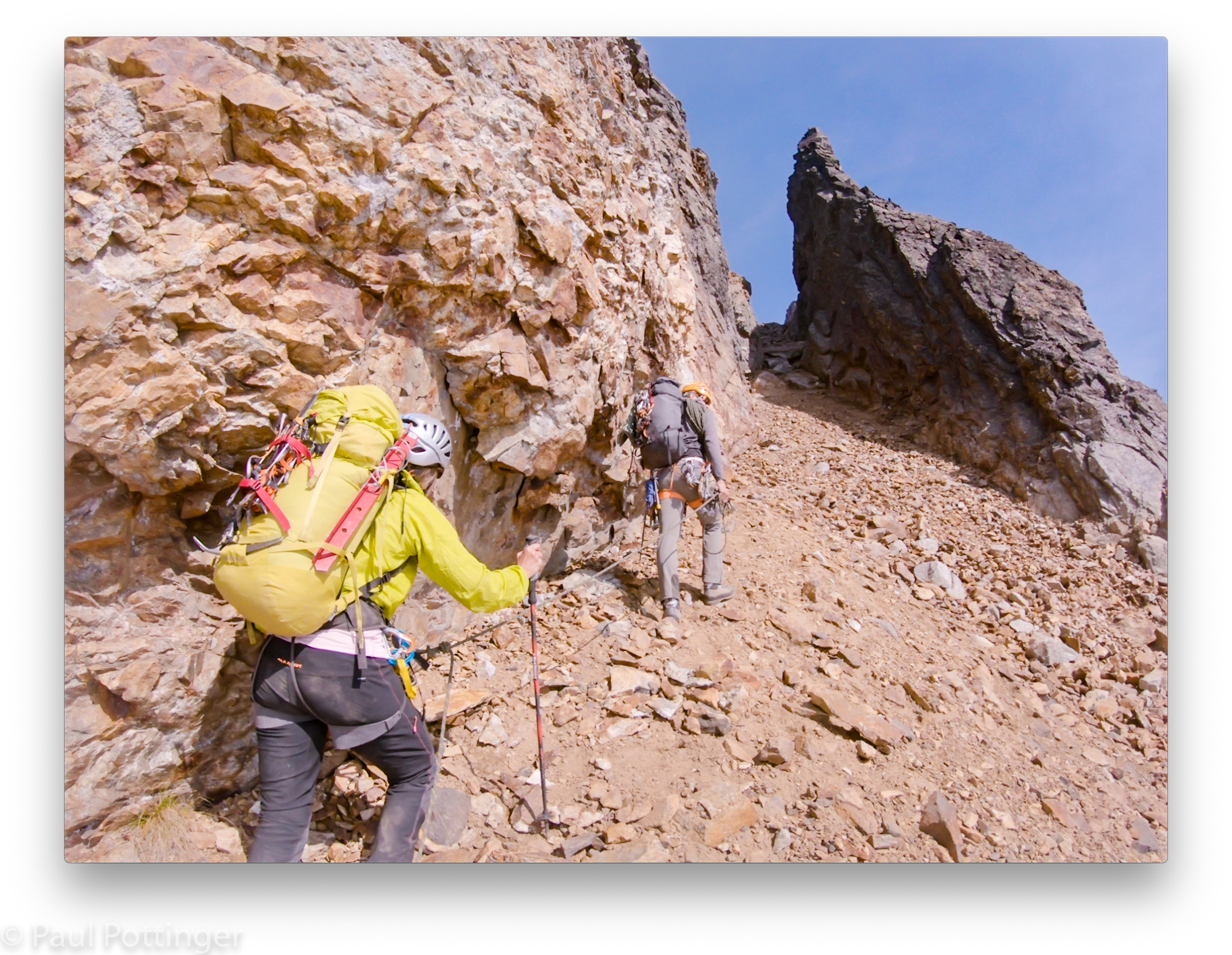
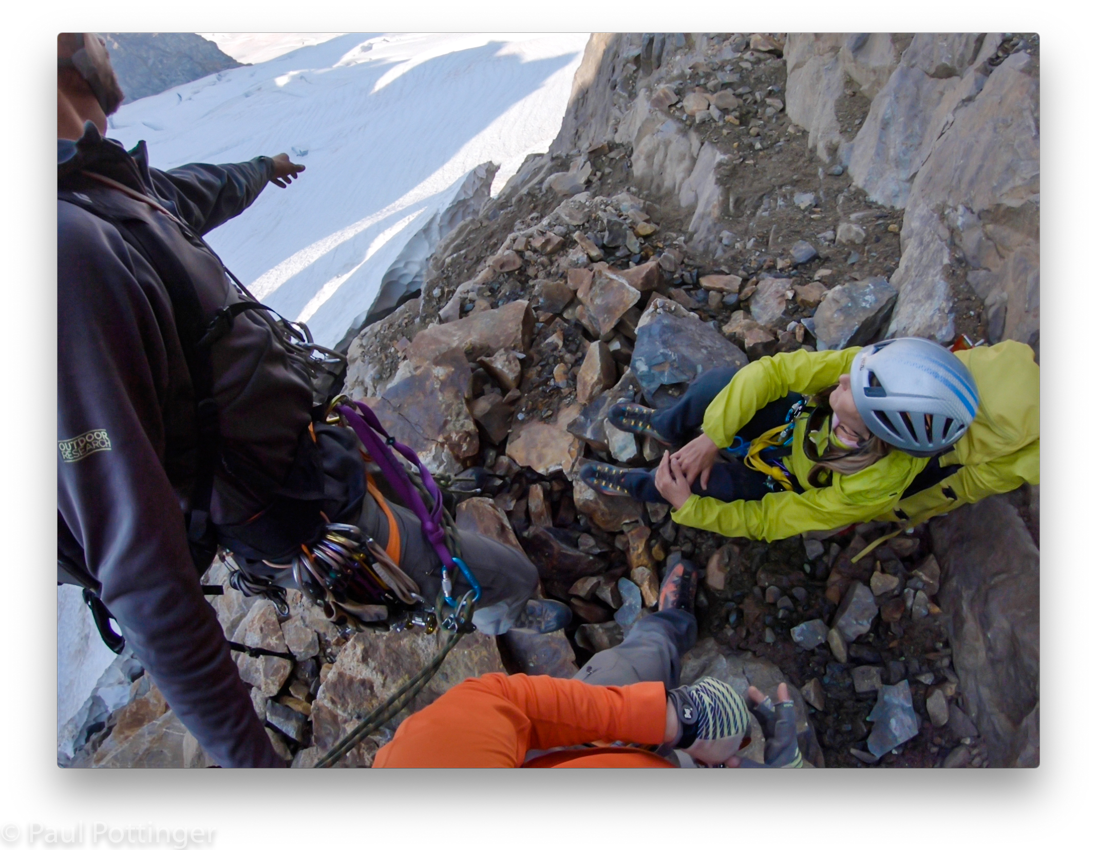
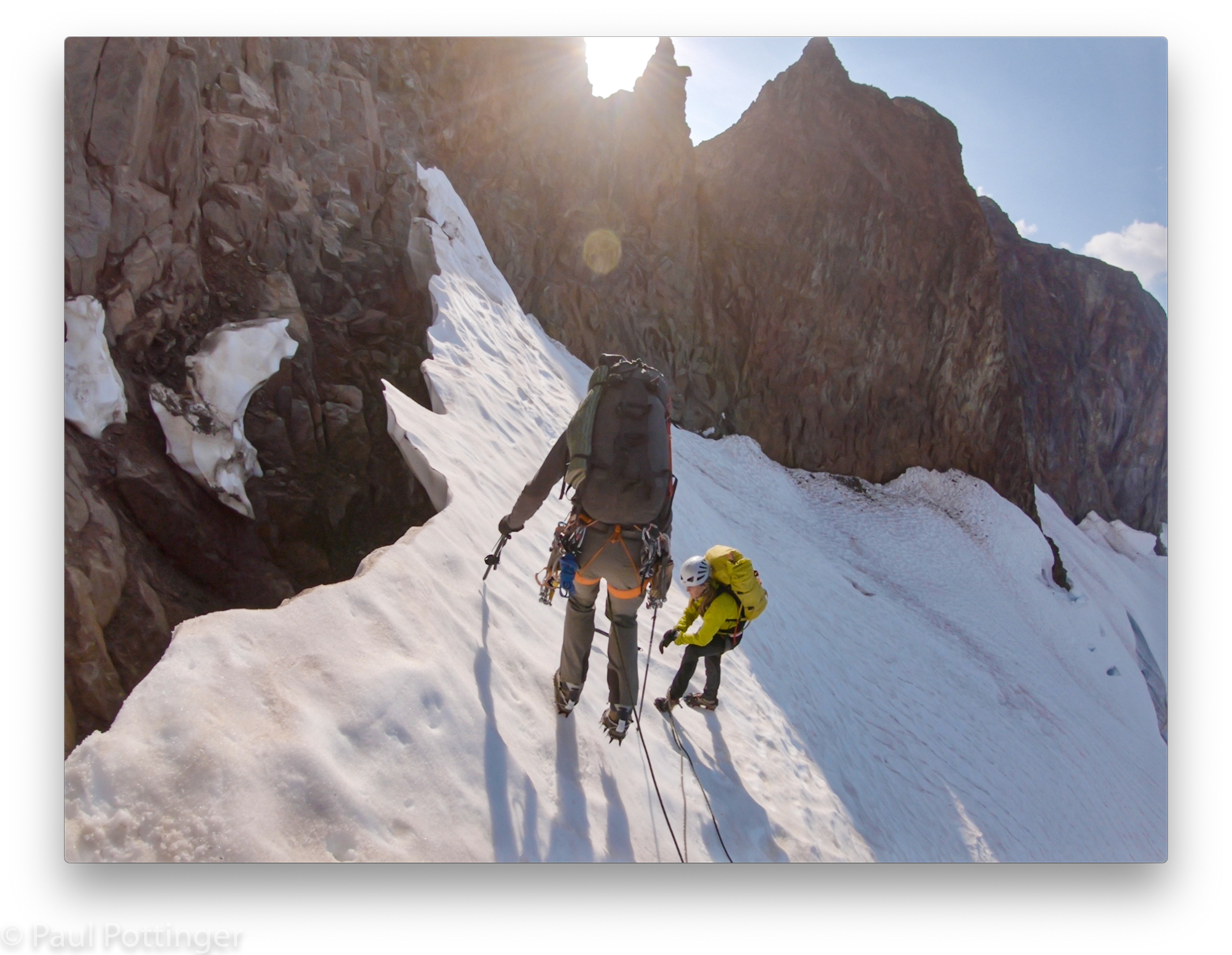
From the col, we descended the sketchy, slidey choss unroped back to our packs.
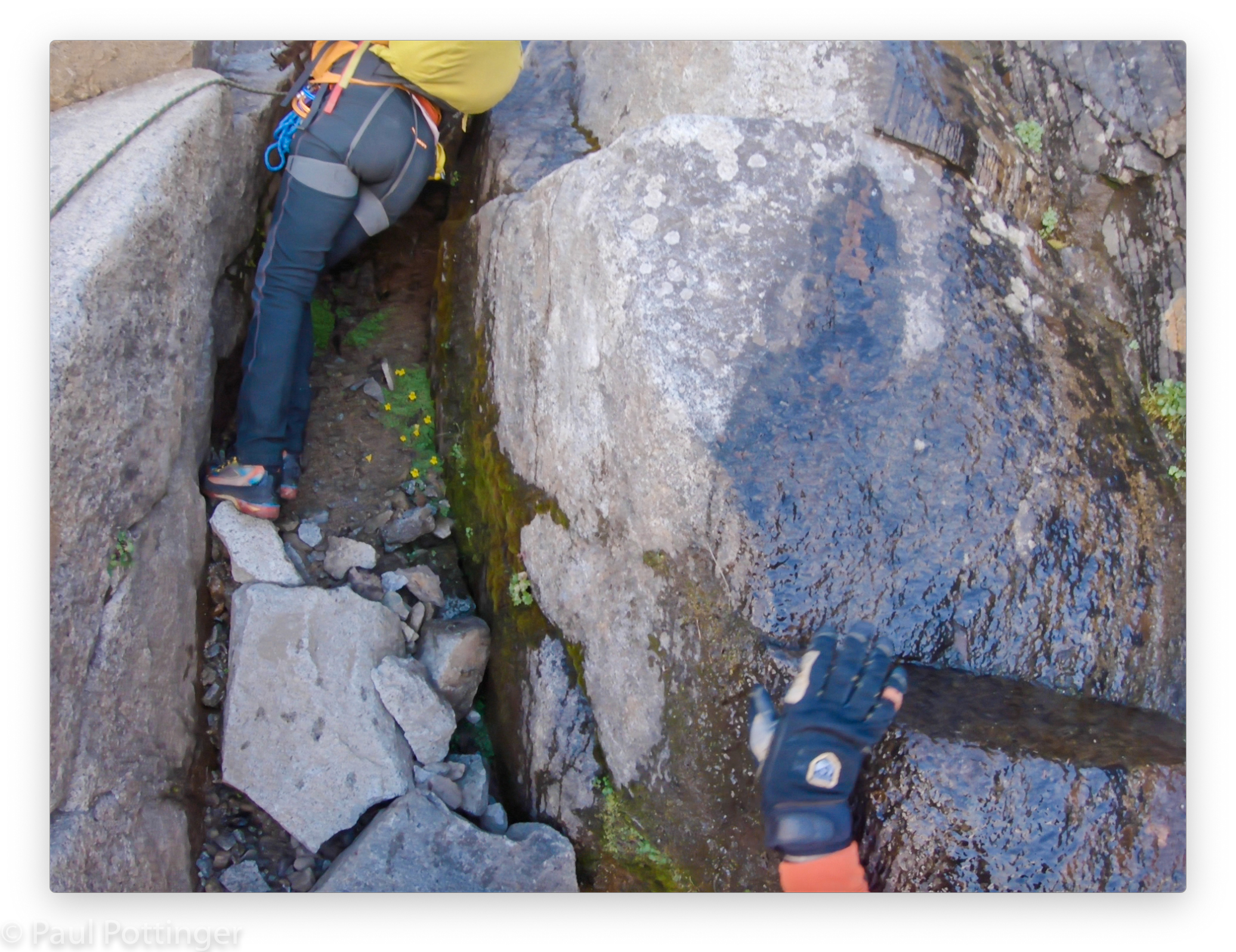
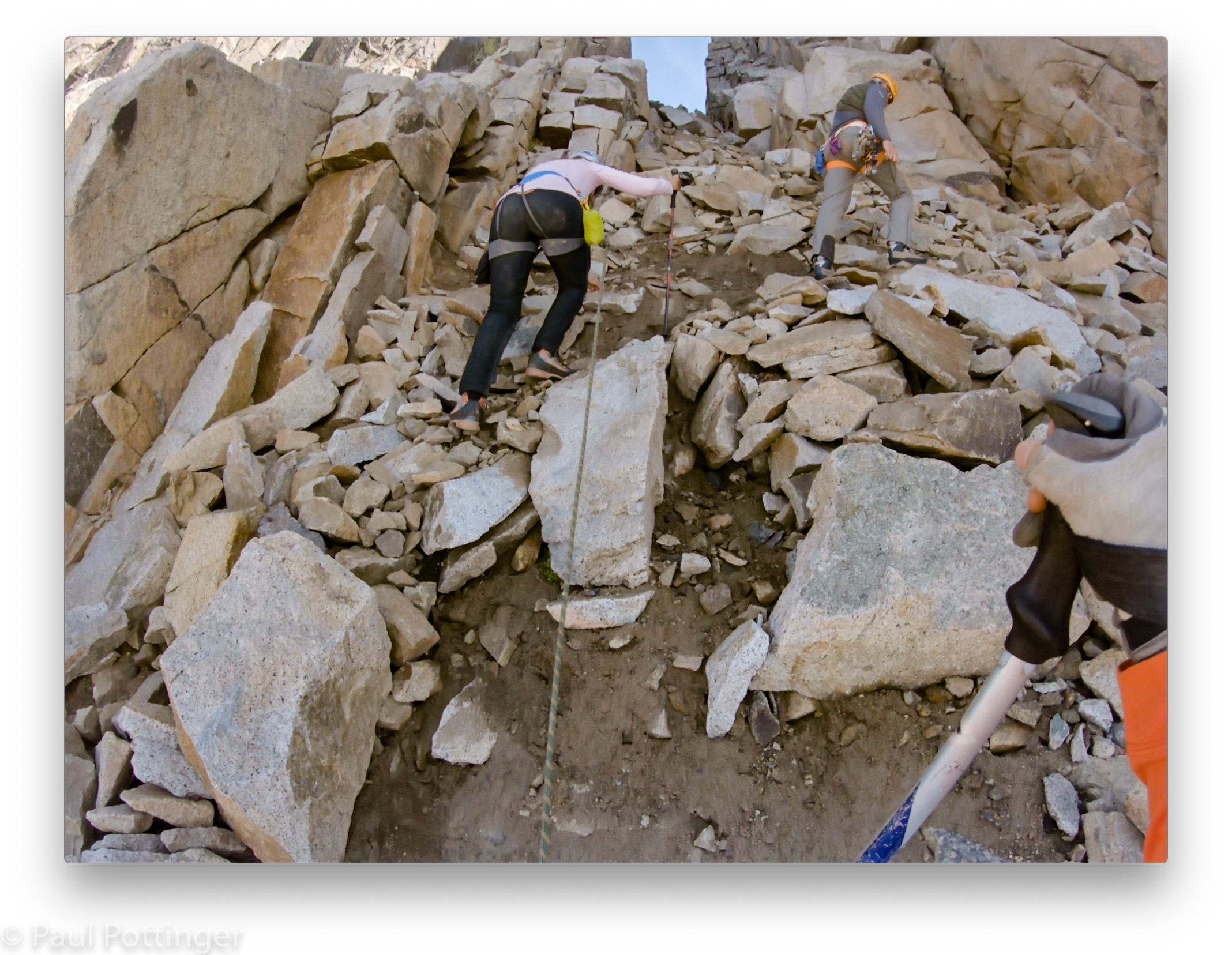
Lunch! Then, our real adventure began: Finding our way down to Boston Glacier. Apparently, most climbers descend from Sharkfin Col, which is the biggest notch to the west of the summit. But, there is a better option using a smaller, nameless col before that. Trick is, where is the nameless col? We scrambled up a chossy gully to its top, only to find that this was not THE col we wanted. So, we descended the way we had come up, then traversed a bit farther until another likely suspect appeared, cutting steeply up to the right. We followed it up, but this too turned out to be an inauspicious place to drop in. But, we were getting closer…. Down again to a small ridge at the gully’s midpoint. The footing here was unstable, with every step sending waves of dirt and stones cascading to the bottom, more than a hundred feet below. We needed to drop about halfway down then ascend another gully that branched off. Justin came up with an ingenious system to lower us simultaneously down the low-angle slope. Ann and I had to move in synch, lest she go faster than me and introduce slack into the line between us. It was an odd setup, and it worked perfectly.
Justin traversed above us to our new gully, got onto some more stable rock, and began ascending. While we waited for the slack to disappear I paused for a moment to look down at the gully, to the Quien Sabe below, and smelled the air.
“What is that smell?” asked Ann. It was reminiscent of the scent of a tooth being drilled at the dentist.
“Fractured rocks we kicked down. Brimstone. Welcome to hell.” We still had a long way to go, with a big glacier crossing to come and a few pitches of 5th class to gain the bivvy ledges. The sun was high enough in the sky, and we seemed to have ample time… but I we felt an unspoken pressure to get up this damn gully and get to the Boston.
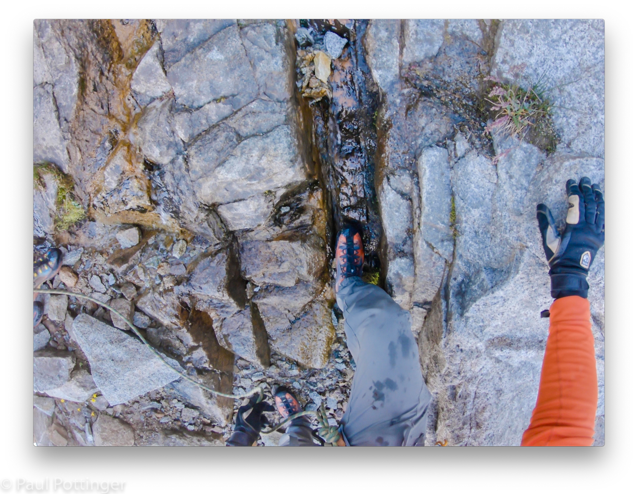
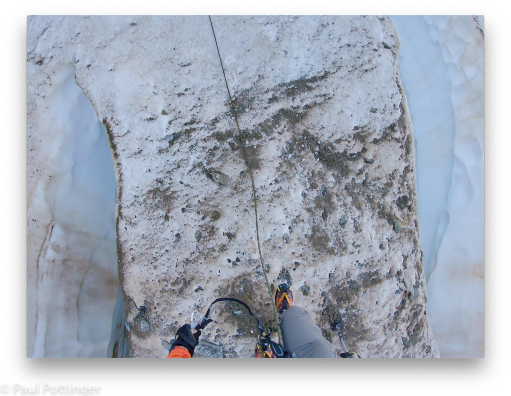
The rope went taught. We followed. It was a true chossfest, but most of the stones were smaller than a loaf of bread. The only one that thwapped me on the arm was the size of a tennis ball, and it was moving slowly, in fact did not even leave a bruise.
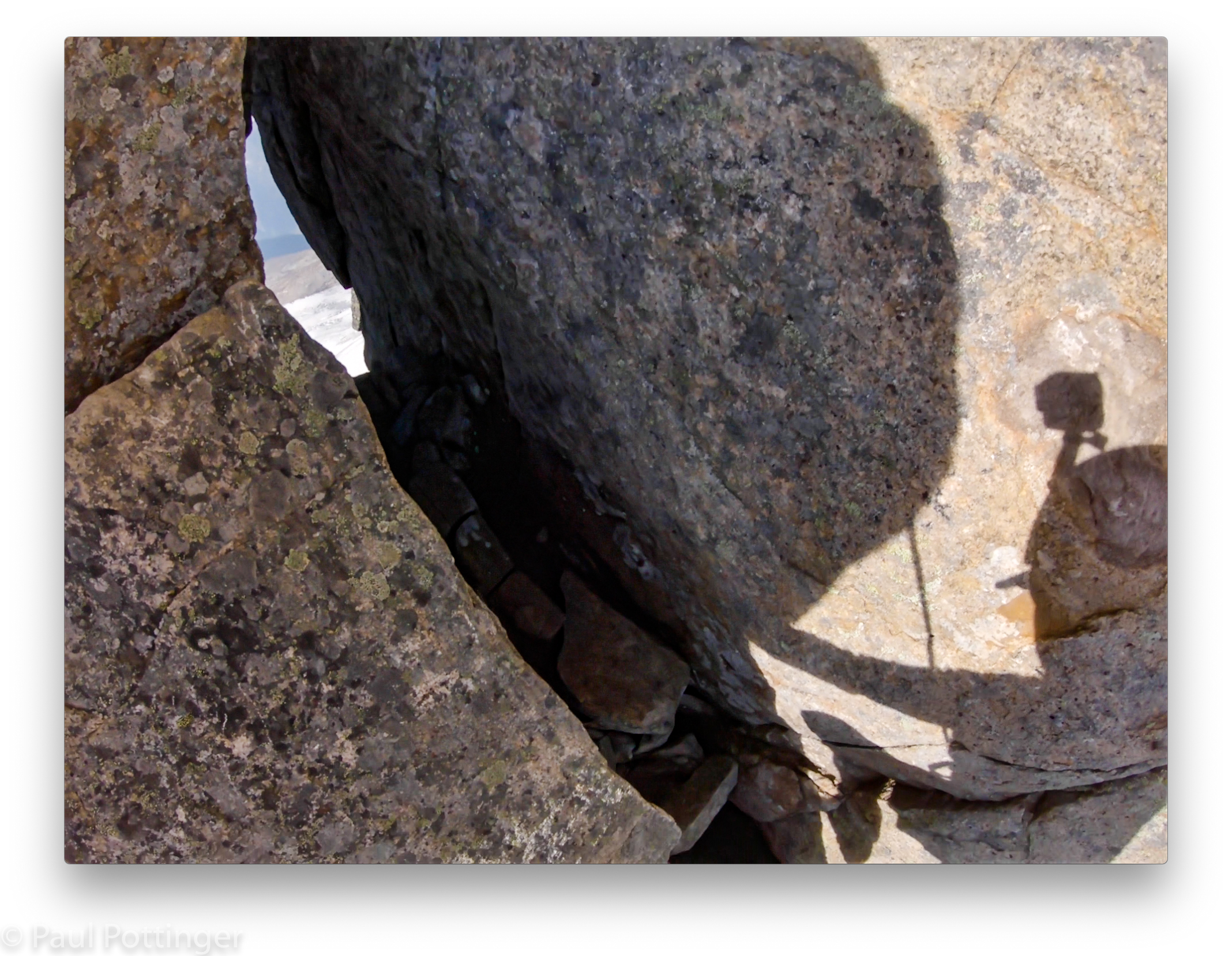
This was our col! A soccer ball-sized chockstone at the top was adorned with webbing and rap rings left by prior parties. Below was a world cast in blue shadow: a couple benches littered with mud and sharp talus, and below that the upper Boston Glacier stretched away for miles.
We knew the drill, and rearranged our harnesses to pre-rig for rappel on extensions. Justin went first, no worries. Then it was Ann’s turn. She started smoothly down, and I took a moment to look at the sunshine once more, for the last time all day before we dropped into shadow. Kim would love it here. I heard the clatter of rockfall below—which was not unusual when we rappelled this unstable terrain. Then one big, loud thwump. You will not believe me, but it is true: I felt this rockfall in my boots, in my hips, in my spine. Perhaps the shockwave simply reverberated up the rope, but it felt as though the mountain itself had groaned. And I thought, That was a big one. I hope Ann is alive. It was hard to see exactly what had happened, but I saw her twisted onto her side—the same right side!—a short distance above Justin. I shouted down to them, and listened. Ann’s voice was clear and feisty: “Goddamn it! Again!” This was reassuring, and clearly everything was going to be OK.
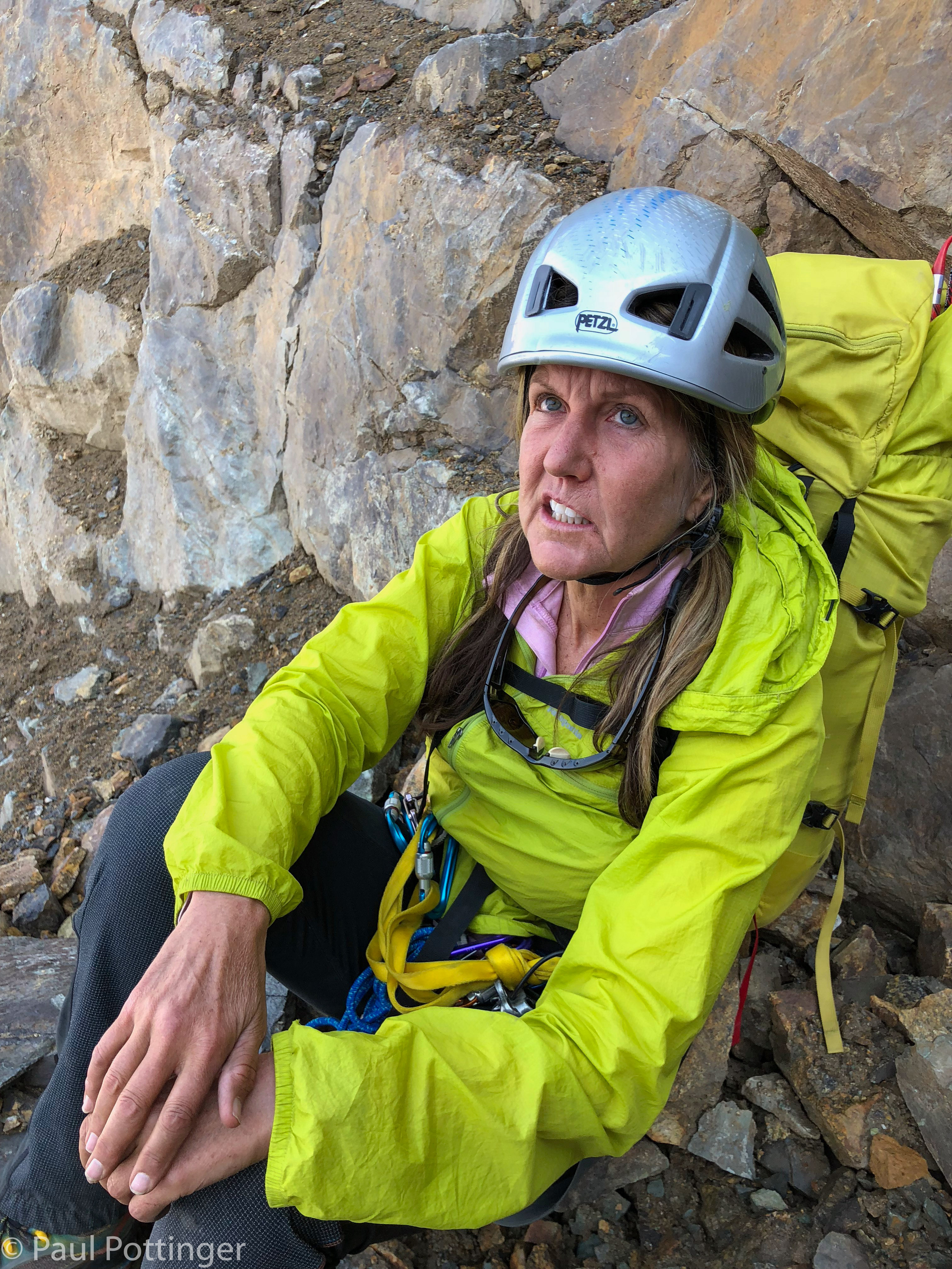
I rapped down carefully, and came to the spot where she had lost her footing. It was tricky. By the time I reached them, Ann was settled and seemed to be doing fine, more injured of her pride than her body. But, injured she was. Justin asked her explicitly whether she could continue, and she dismissed his concern with a wave of her hand. She could stand, walk, and climb. There were no fractures. Of course she would continue. She was just frustrated.
We reassured her. I pointed out how challenging this rappel had been: low angle alternating with high angle… oblique shifts in the fall line… loose choss falling on us… wet, cold slabs covered in BB-sized grit… late in the day… in cold shadow… after climbing several suuuuper sketchy gullies in the baking sunshine, and after climbing Sharkfin itself… for a climber with an injured hip already, she was doing awesome.

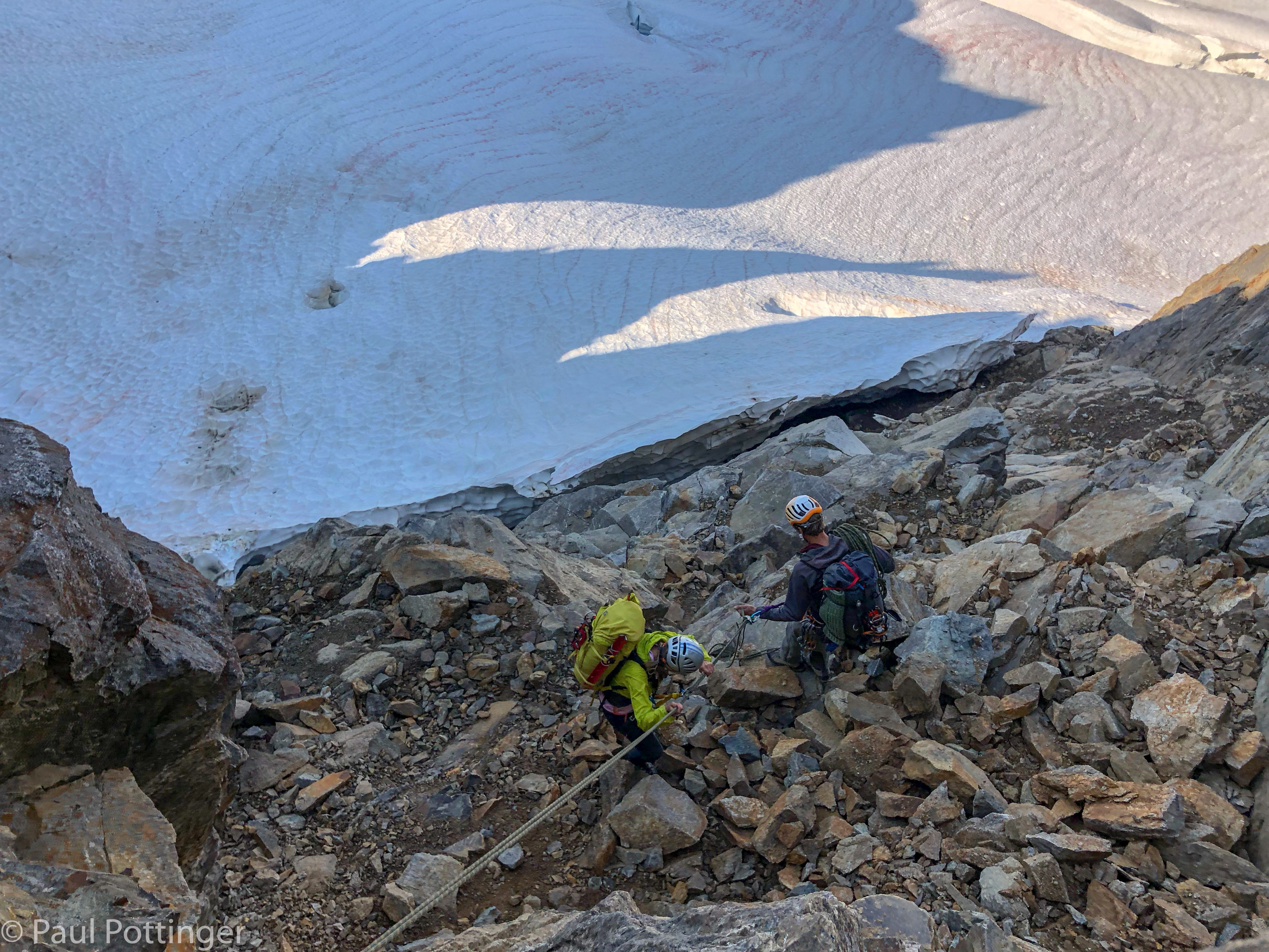

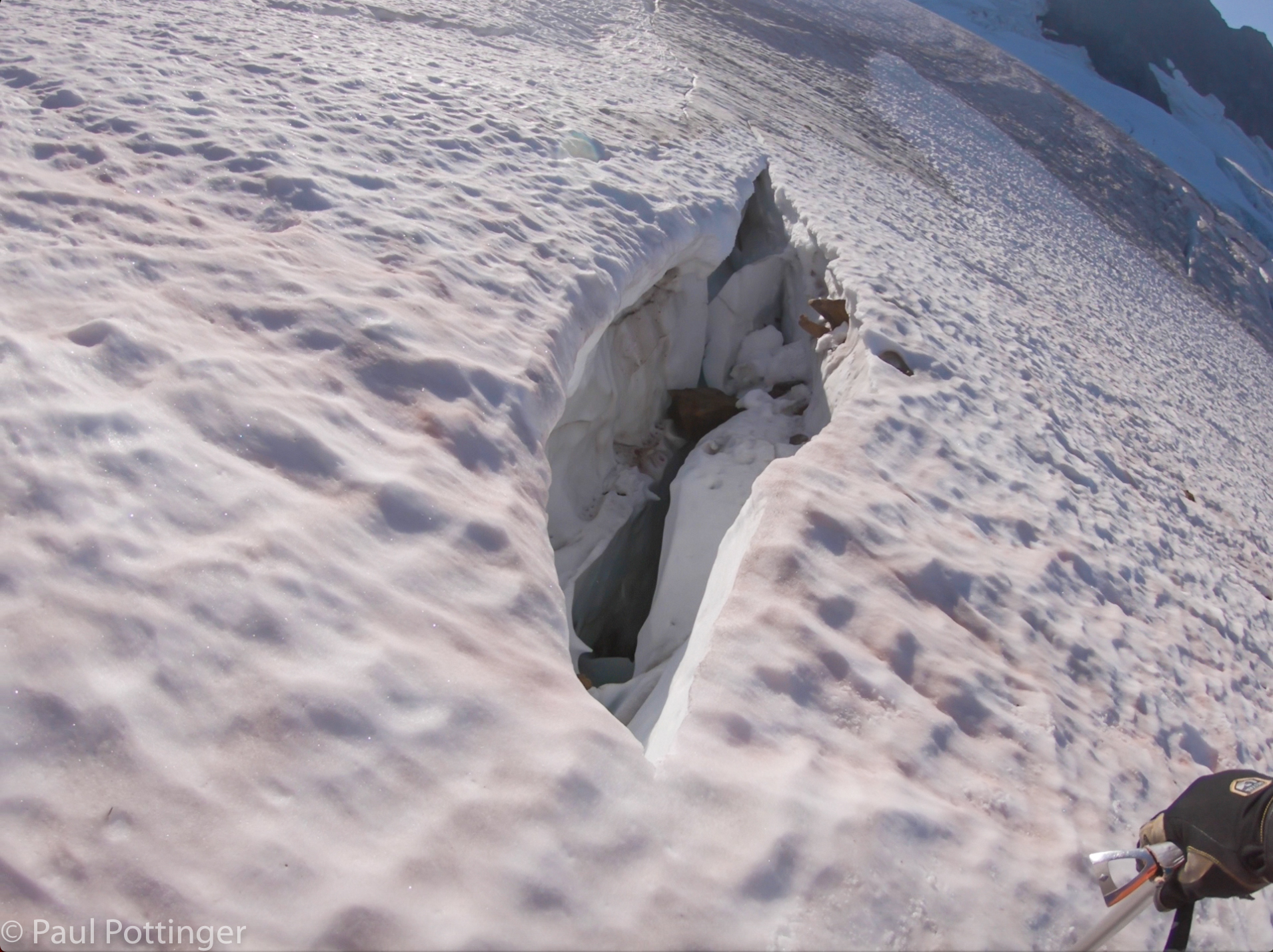
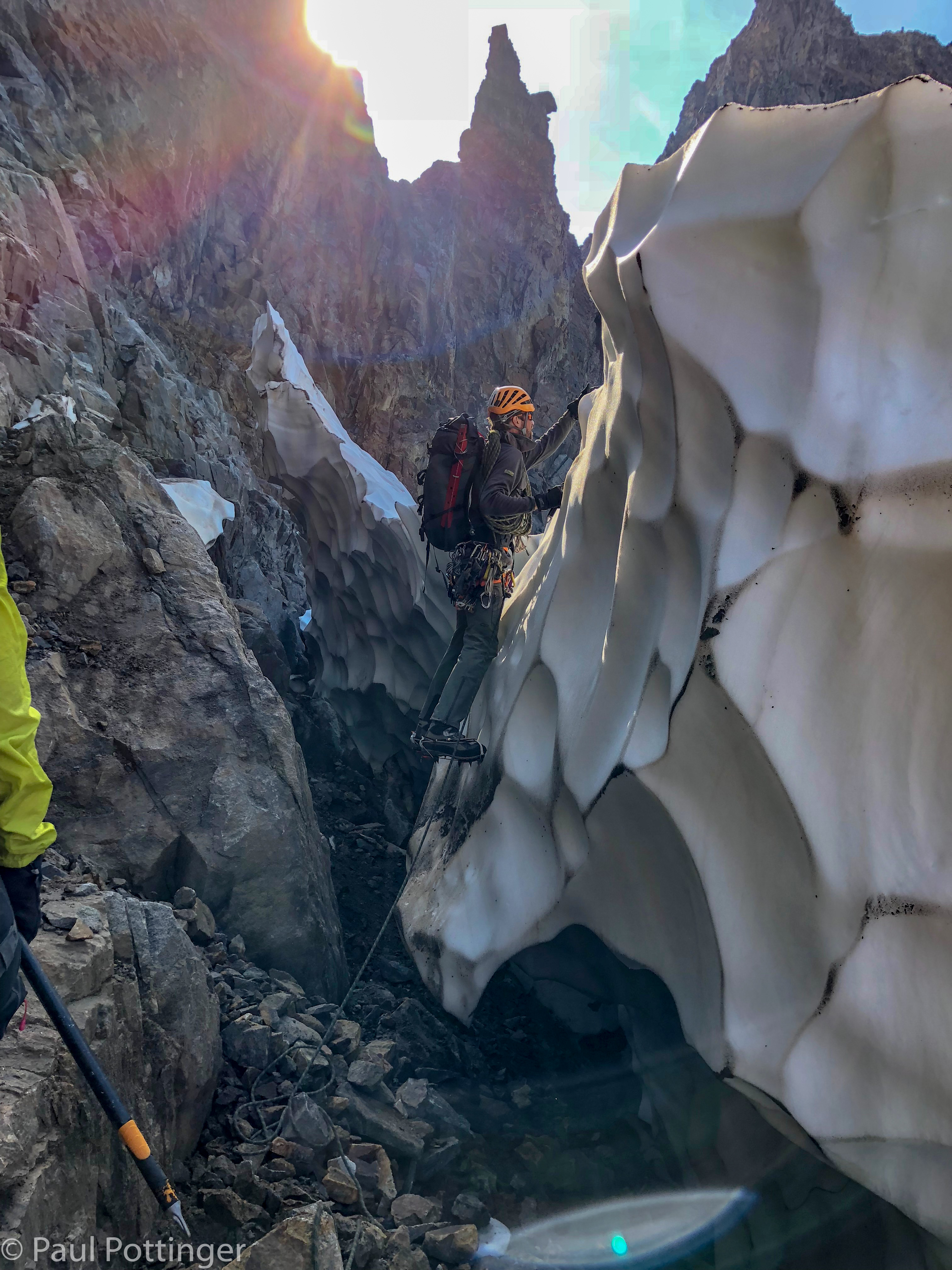
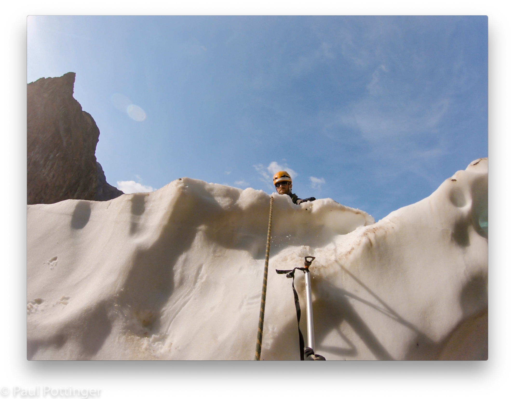
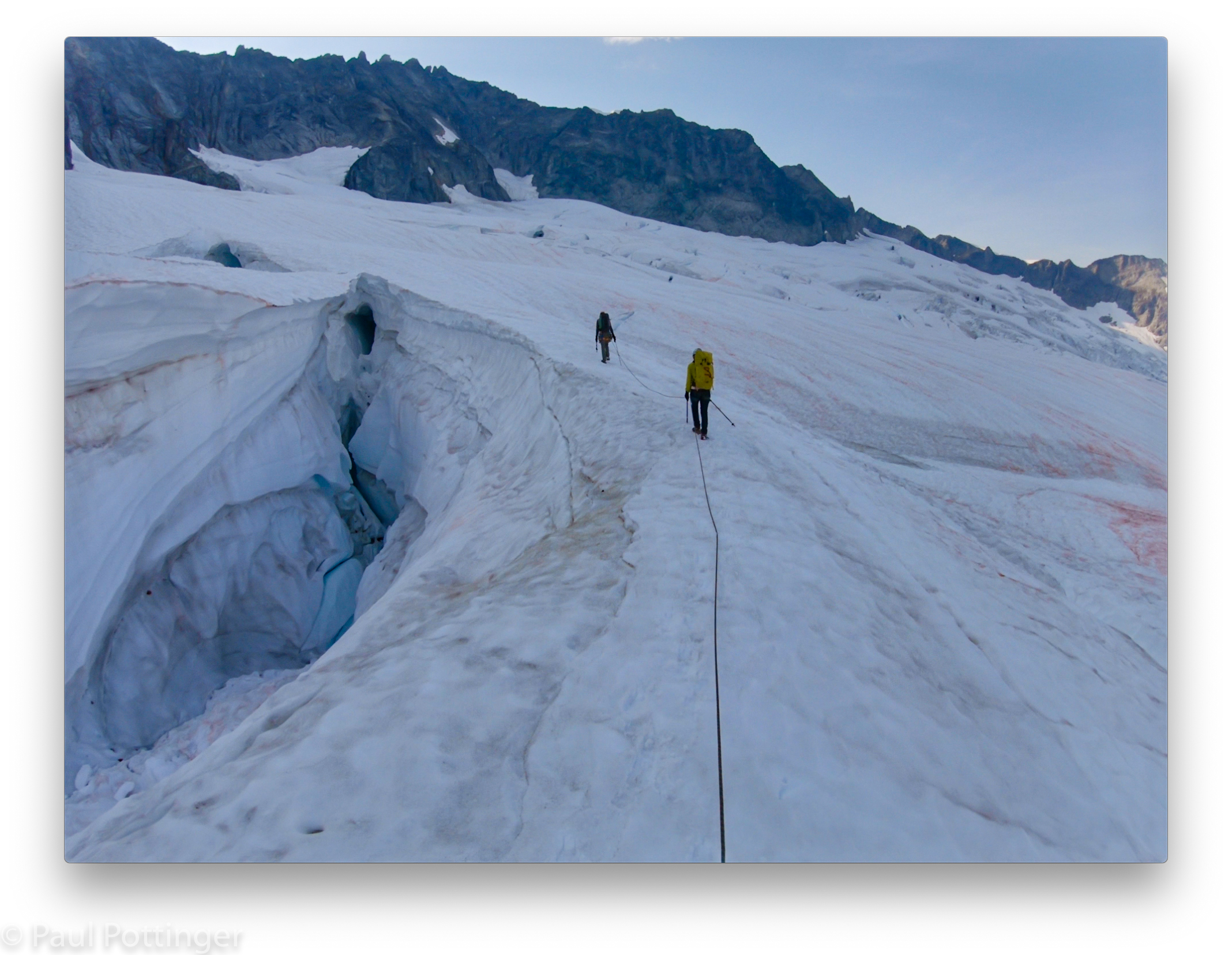
It took us a little while to get to the glacier itself, because of all the unstable downslabby terrain, but eventually we made it. The moat was complicated: The glacier was actually above the earth here, having melted out from the bottom faster than from the top, leaving about 15 feet of soft, scalloped vertical snow overhanging a creepy dark cave beneath. We could make out some shallow depressions that were remnants of footholds kicked by a previous party, I guessed at least a week earlier. Justin led up with the same ease we had come to admire in Ouray. Then Ann, then me. I wished I had a second tool, but Justin himself had trained me to climb terrain like this with feet only, and it worked.
Atop the snow face I could see the Boston Glacier dropping steeply away to the north. We quickly rearranged things for glacier travel. The pressure for time was real. Daylight was fading, and this was a huge glacier; our objective was a tongue of snow on the far side, which looked like it was 2 miles away. (Measuring the distance now, I see that it was 1.2 miles as the crow flies, and actually our track was just under 2 miles.) I did not even tie prusik cords to the line, although I made sure they were in easy reach on my harness.


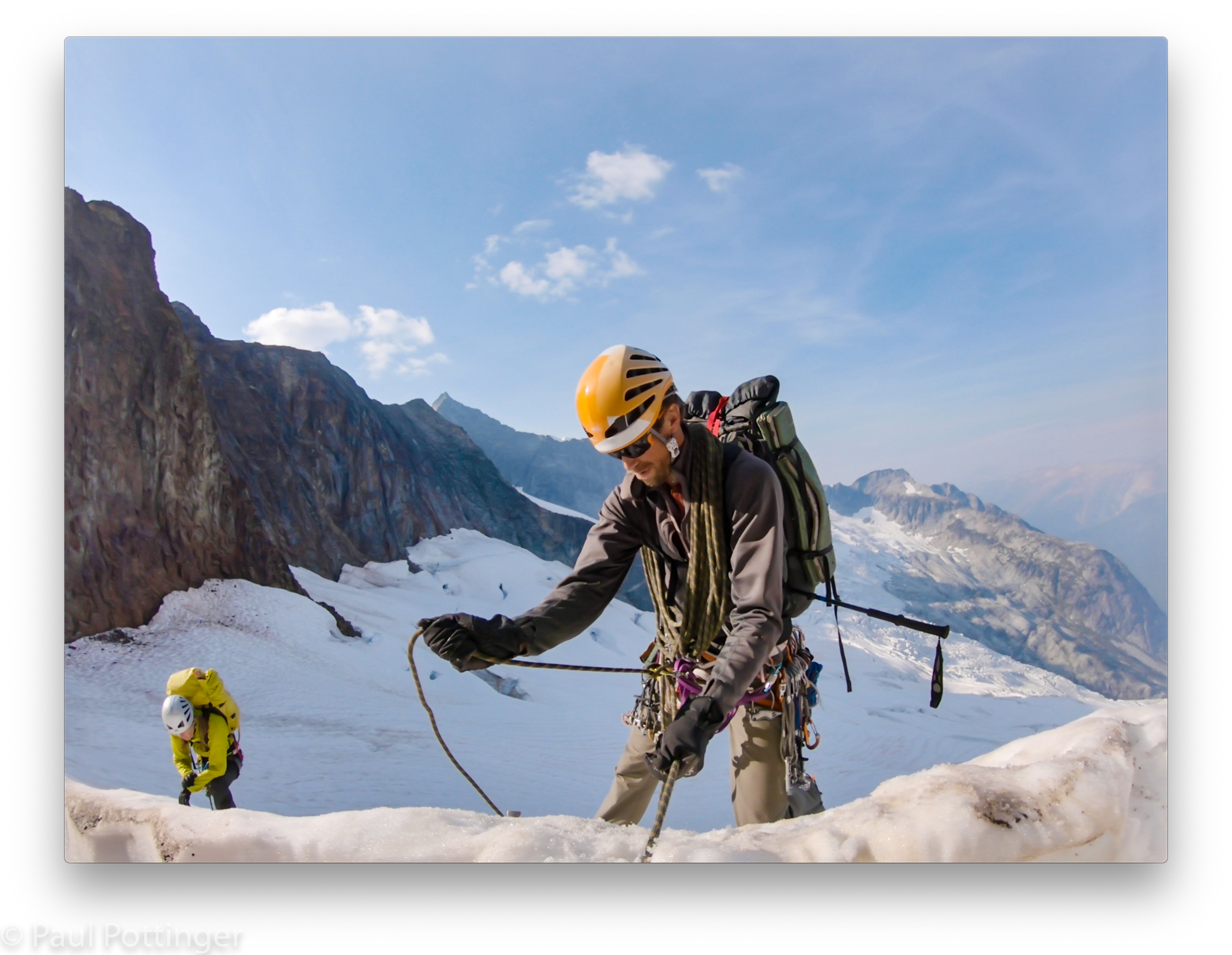
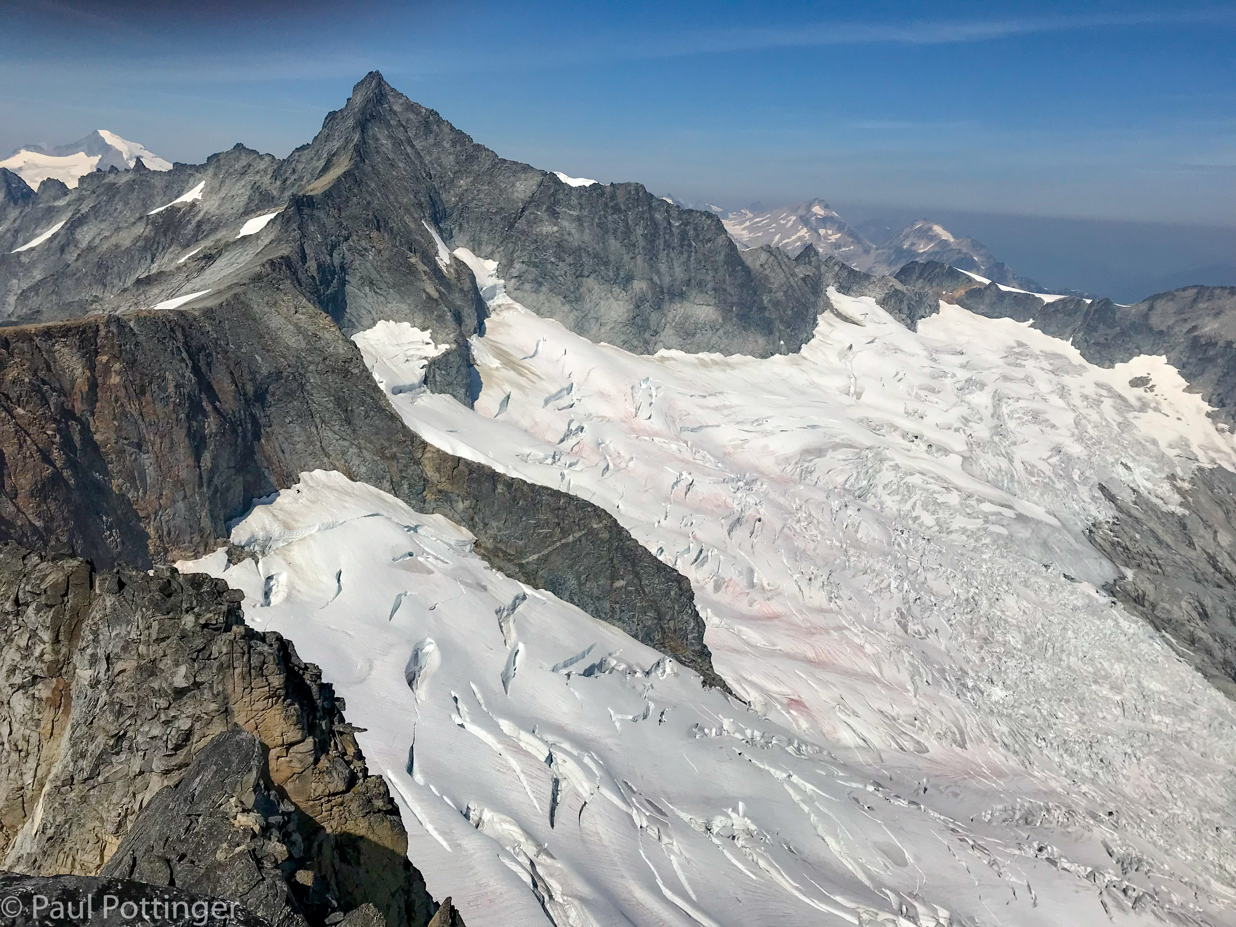
Justin had photographed and studied the crevasse pattern from the summit, which was brilliant because our perspective here was much less auspicious. There was a stone cleaver interrupting our way to the North Ridge, we would have to descend about 800 vertical feet to bypass it and then gradually make our way upwards again, regaining all the elevation we had given up. The thought of climbing up all that way was disheartening, but only slightly.
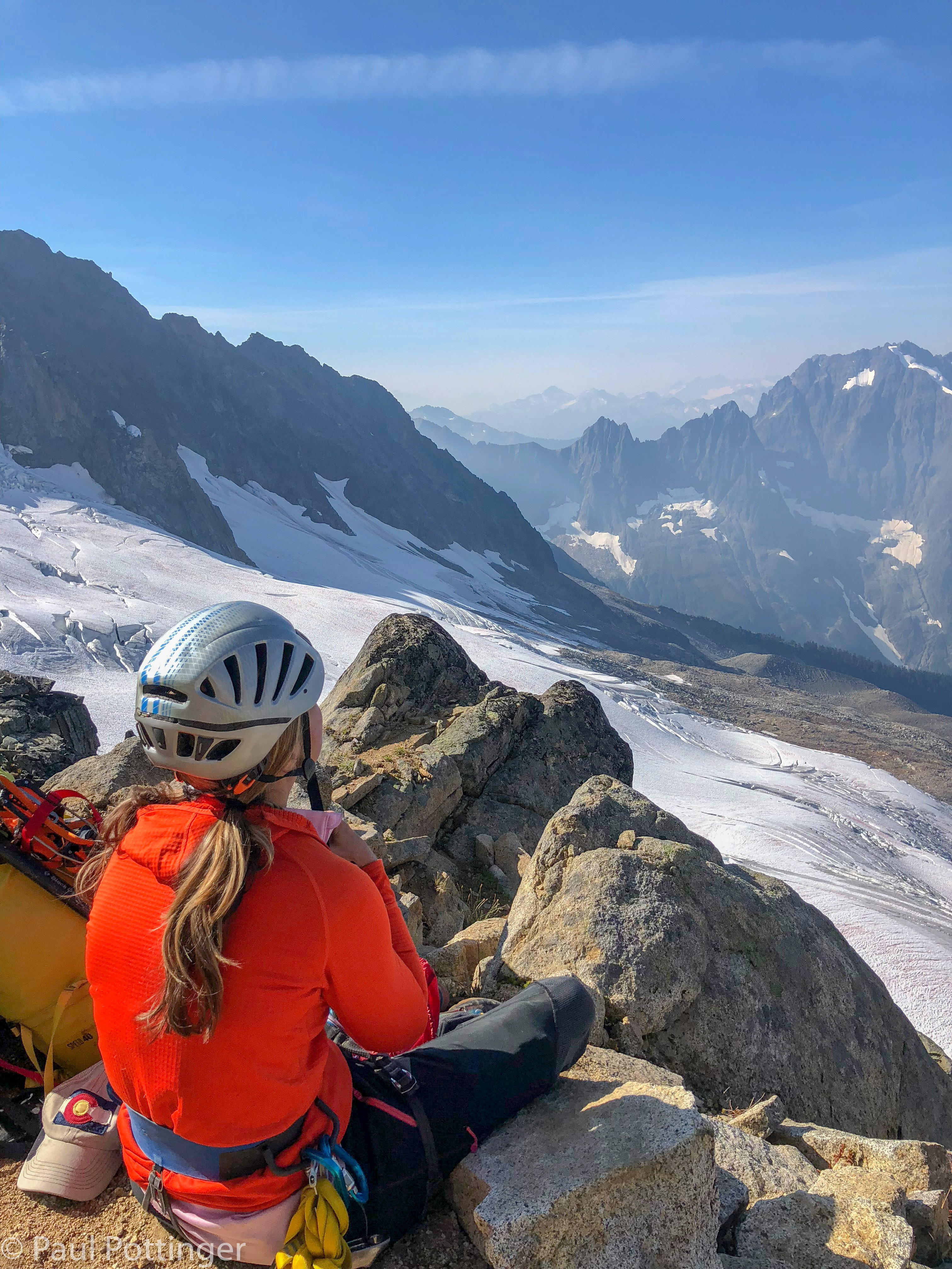
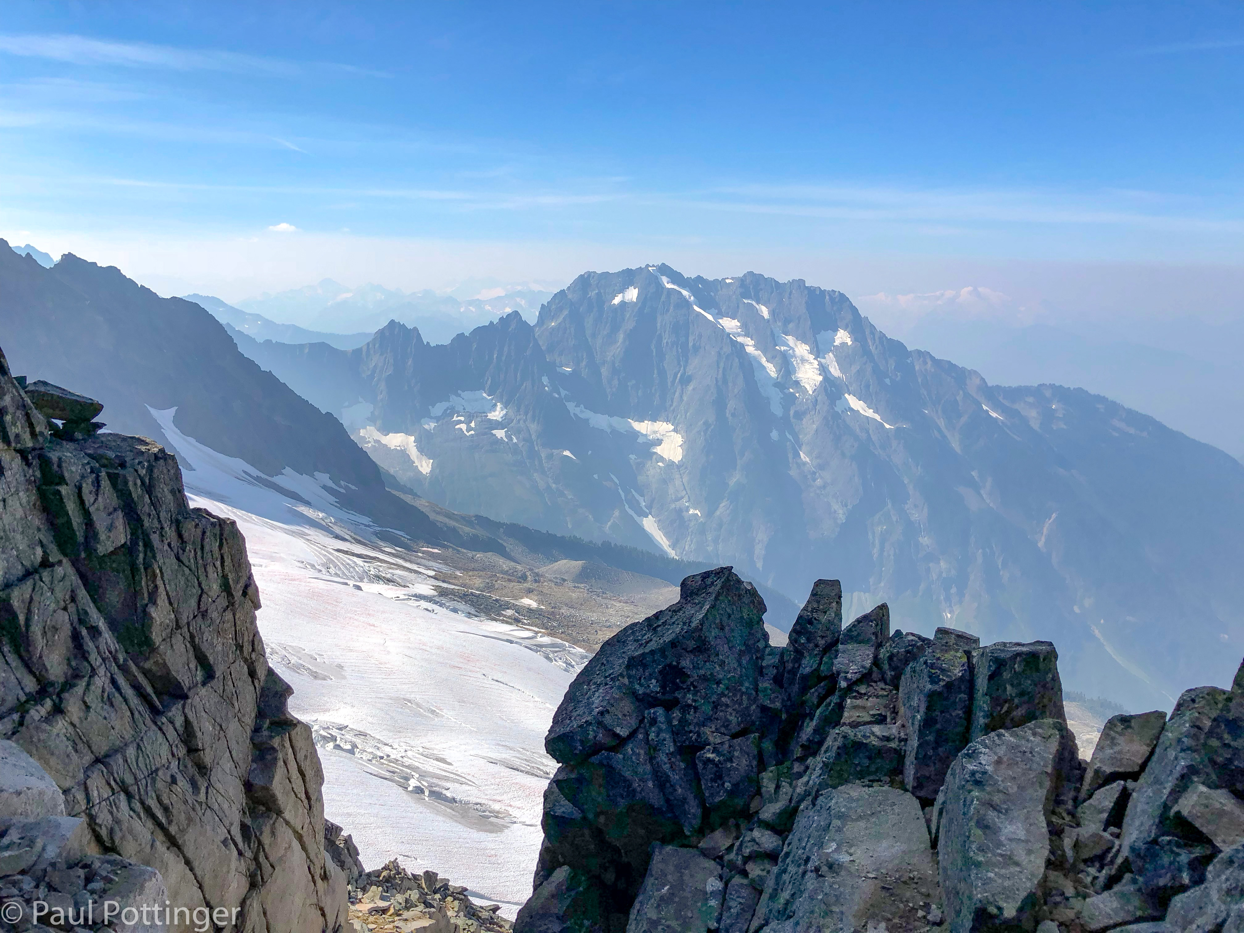
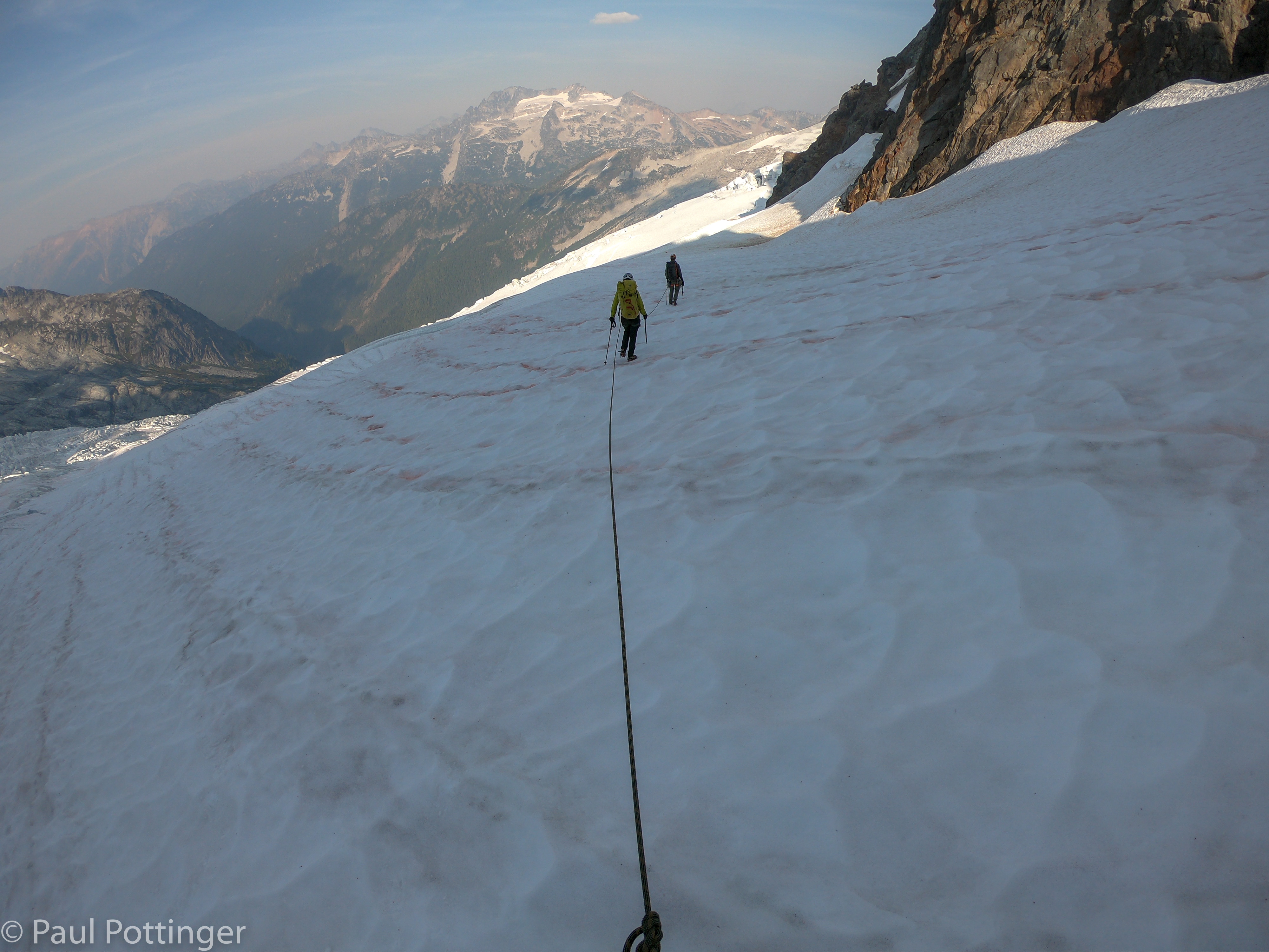
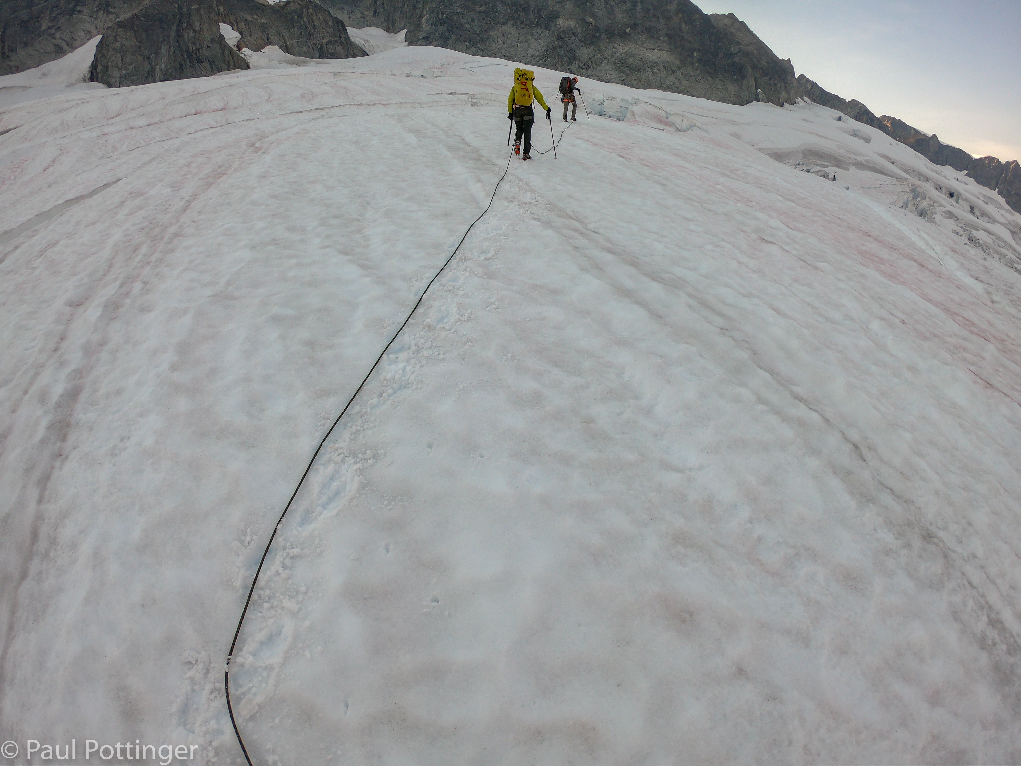
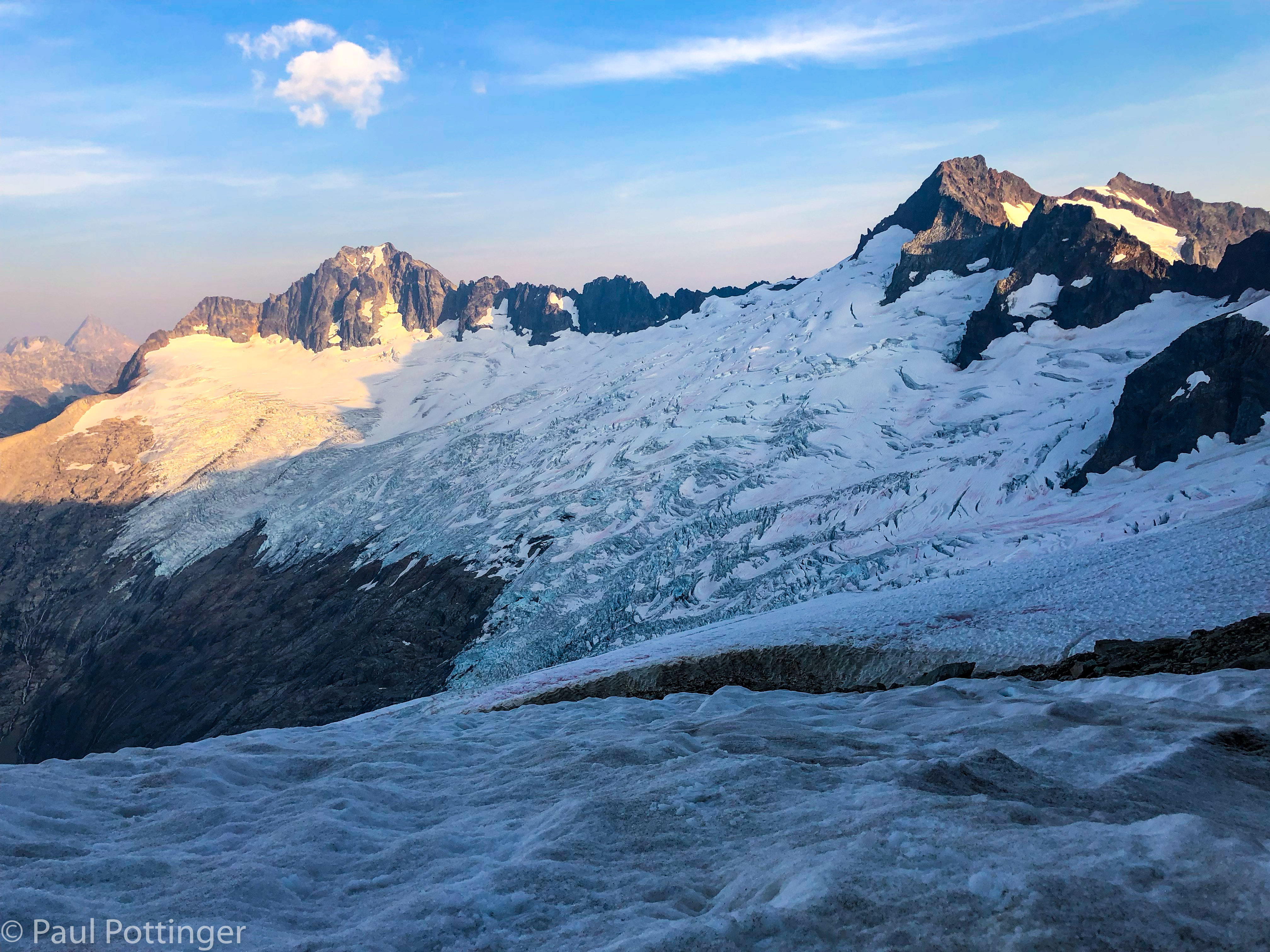
Once we settled into the rhythm of roped travel, it dawned on me that this was one of the great glacier crossings of my life. We were truly isolated in a giant, spectacular, private amphitheater. The North Cascades stretched into the distance, in row after jagged row, into Canada. No one was here but the three of us, and this ice might not have been crossed for weeks previously… and might not be crossed again until next year. The crevasses were massive, ragged, and deep, suggestive of those I have seen in Alaska. Justin picked a smooth path between them, along wide ridges and stout snow bridges. The surface was riddled with shallow channels carved by meltwater, each filled with crimson algae called “watermelon snow.” This algae smells clean, fresh, and precisely like the inside of a ripe watermelon. It will give you diarrhea if eaten, but the scent is intoxicating.
And the baggage I carry every day dropped out of mind, piece by piece, as I listened to the snow crunching beneath my crampons. I felt so fortunate to have this world class wilderness in my own back yard. This is why we do this.
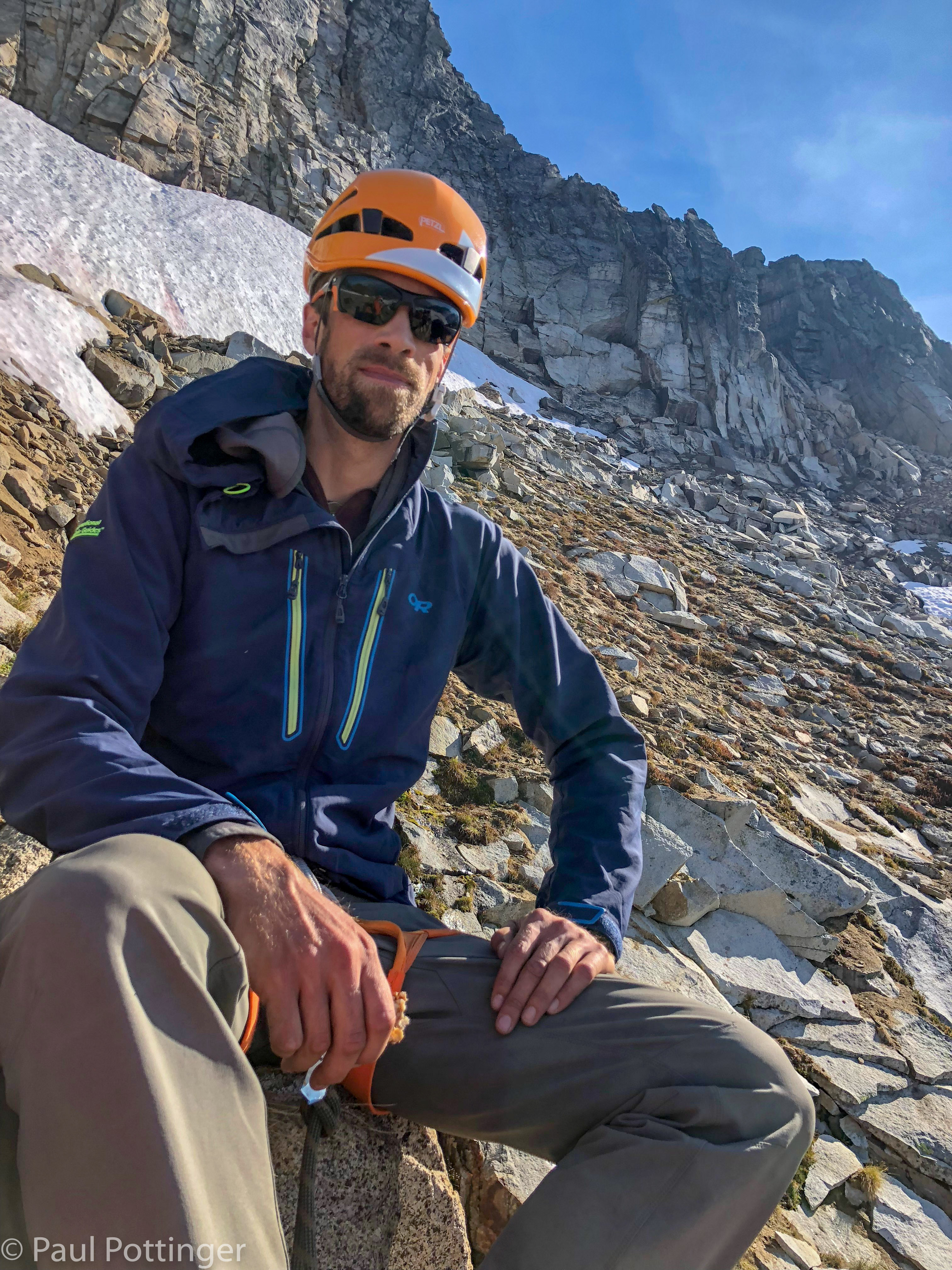
After we rounded the cleaver there was nowhere to go but up, towards the highest snow tongue in the distance. I began to feel rotten. Every joint felt cold, and there was no sunshine to warm us in the long shadows of Forbidden’s East Ridge. No doubt I was running on vapors, having consumed GORP for lunch hours earlier… which was also the last time I had urinated. At this point I did have water left in one bottle, close to a liter, but we were racing against sunset to reach the bivvy ledge, and there was no way I was going to call for a hydration break. Just get to the moat and you can warm up.

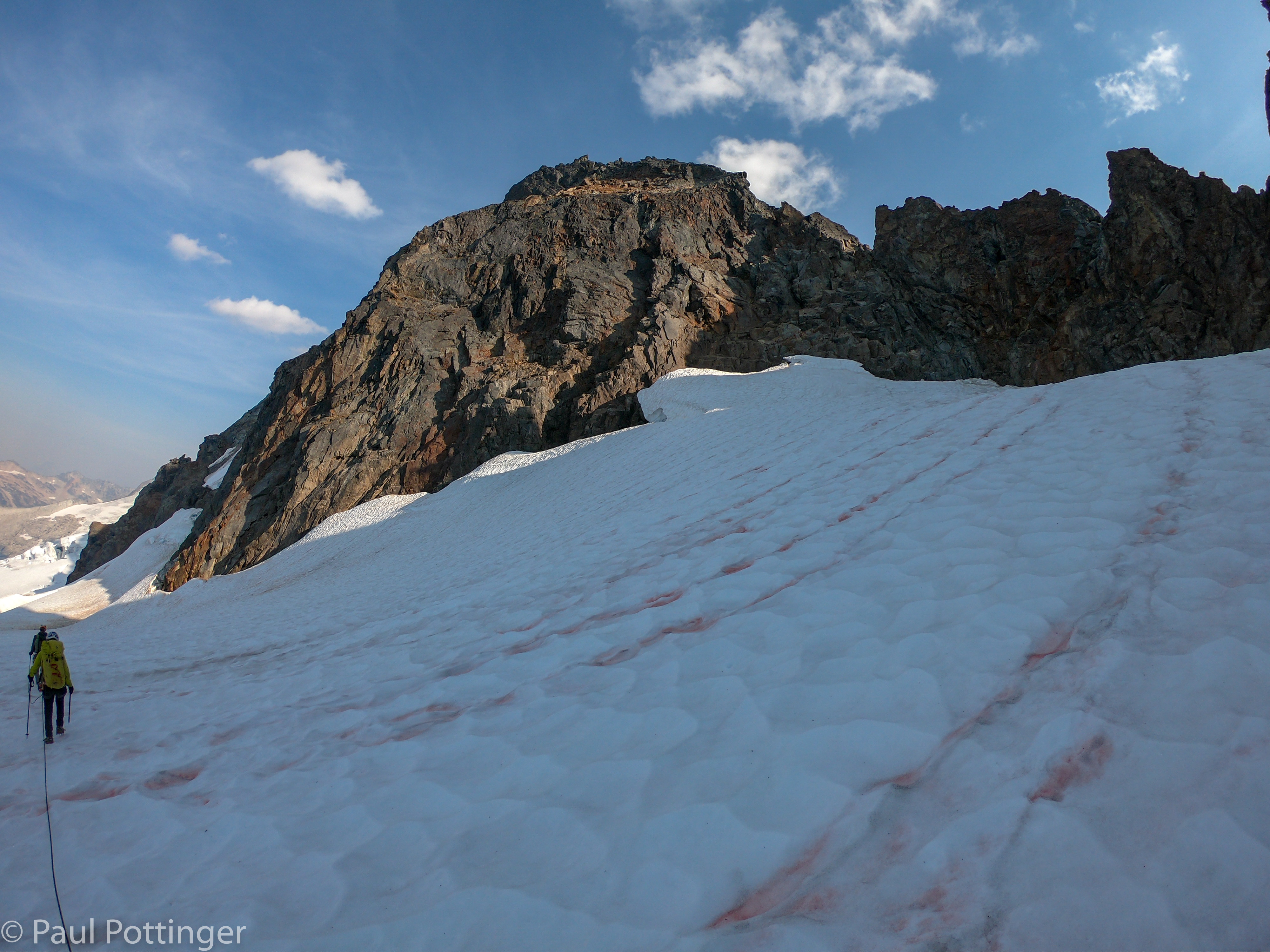


We reached a broad crater in the snow just below the moat and stopped for a break. This had looked like a crevasse from above, but in fact it was a rockfall zone, littered with dark stones that had fallen away from the North Ridge earlier in the season, in what must have been an epic slide. Since then, the rocks’ dark color had attracted sunshine and heat, melting a vast shallow crater in the glacier’s surface. This made for a fine spot to stop briefly and get ready for the 5th class to come. Ann and I were both feeling pretty shitty, and the break was welcome. Justin got right to work uncovering clean snow and melting it in the reactor. There would be no snow above, at least on the lower ridge, so this was our chance to drink and make water to last until the middle of the following day. The meltwater went down nicely. I urinated for the first time in many hours. My homemade GORP tasted great… shards of crystallized ginger seems to be a good ingredient for the stomach. And salty pretzel sticks were really good here too.

Crossing the moat was pretty straightforward, it was smaller here than at our entry point. Off came the spikes. I was tired. Daylight was fading fast… headlamps on, packs sorted, and up we go.

Gaining the North Ridge was not too tricky from this location, just a few odd moves that felt elusive in the twilight—zig here, zag there, and consider that the best handhold may actually be behind you. The terrain contained numerous false passages and short walls, meaning Justin could not see us and we had a hard time hearing him. But, if in doubt, follow the rope to glory.
In the PNW we are blessed with long summer days, and if we had climbed a couple months earlier there would have been no need for headlamps at all. By September 4, however, sunset is 7:45. We only had to use our headlamps for the last section. The ridgeline was barely backlit by the fading dusky sky, and I thought I saw an irregularity it its shape, like the crenelations of a medieval castle tower. Could that be the bivvy site?
It was. When we first gained the ridge there was a slanted dirt spot with some scattered sharp stones, and simultaneously we all thought, I really hope that’s not our bivvy site! The real site was a few steps uphill: Three coffin-sized ledges, one for each of us… each inches away from sheer drops of hundreds of feet to the glaciers below. Ann and I were on the Forbidden Basin side, Justin on the Boston Glacier side, separated by a thin rock wall. The Mountain House Lasagna never tasted better… I felt the warmth radiate from my belly to my extremities. We texted with George at IMG HQ telling him we were settling in for the night, and I did the same on Facebook… only to learn after arriving home that FB has removed this feature from the InReach, which is highly aggravating.
We were done. It was after 9:00 PM when we started to fall asleep. A 13 hour day. And tomorrow will be bigger. I slept well, except for the snafflehounds that scampered around our bags all night. And I dreamed of Forbidden Peak.
Beautiful pictures, great narrative. I’ll watch it again and again. You are just amazingly brave and talented at this sport. Thanks for sharing with so many pictures and details.
Duh! That’s Uncle Paul writing!
Thanks Uncle Paul!